Washington maps
Top Contributors..
-
13
FadedMemory
-
12

Brigid
-
5

nava
-
4

megpecaut
Claim the World, Map by Map
Claim a country by adding the most maps.Celebrate your territory with a Leader’s Boast.
Become World Leader by claiming the most!
Washington Cities by Map Count..
- 1Birch Bay map
- 1Blaine map
- 1Bridal Veil map
- 1Bridgeport map
- 1Brier map
- 1Brinnon map
- 1Camano map
- 1Castle Rock map
- 1Cheney map
- 1Chimacum map
- 1Clinton map
- 1Conconully map
- 1Conway map
- 1Copalis Beach map
- 1Cougar map
- 1Dallesport map
- 1Easton map
- 1Eatonville map
- 1Elbe map
- 1Electric City map
- 1Ellensburg map
- 1Enumclaw map
- 1Fall City map
- 1Federal Way map
- 1Forks map
- 1Gold Bar map
- 1Goldendale map
- 1Granite Falls map
- 1Grayland map
- 1Greenbank map
- 1Hamilton map
- 1Lake Goodwin map
- 1Lake Roesiger map
- 1Lake Stevens map
- 1Langley map
- 1Lyle map
- 1Machias map
- 1Manchester map
- 1Marysville map
- 1Mercer Island map
- 1Milton map
- 1Montesano map
- 1Mukilteo map
- 1Napavine map
- 1Neah Bay map
- 1Newcastle map
- 1Ocean Park map
- 1Ocean Shores map
- 1Orting map
- 1Pacific Beach map
Related Info
Washington Keywords
Washington Maps
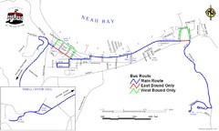
Neah Bay Bus Route Map
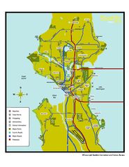
Neighborhoods of Seattle, Washington Map
Tourist map of Seattle, Washington, showing neighborhoods, parks, and scenic drives.
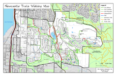
Newcastle Trails Trail Map
Trail map of existing and proposed trails in Newcastle, WA
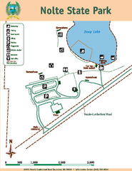
Nolte State Park Map
Map of park with detail of trails and recreation zones
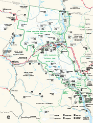
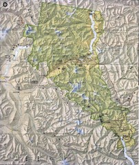
North Cascades National Park map
Official NPS map of North Cascades National Park, Washington. Shows the entire park and...
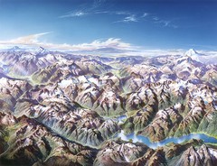
North Cascades National Park Oblique Map
Oblique map looking across Ross Damn, and Diablo Lake towards Seattle
Oak Harbor tourist map
Tourist map of Oak Harbor, Washington. Shows all businesses.
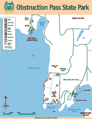
Obstruction Pass State Park Map
Map of park with detail of trails and recreation zones
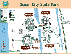
Ocean City State Park Map
Map of park with detail of trails and recreation zones
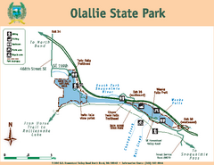
Olallie State Park Map
Map of park with detail of trails and recreation zones
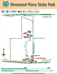
Olmstead Place State Park Map
Map of park with detail of trails and recreation zones
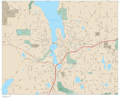
Olympia, Washington City Map
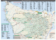
Olympic National Park wilderness campsite map
Official wilderness campsite map of Olympic National Park. Shows roads, trails, visitor...
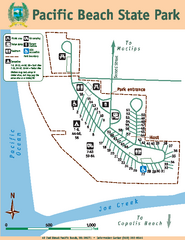
Pacific Beach State Park Map
Map of park with detail of trails and recreation zones
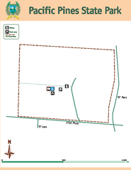
Pacific Pines State Park Map
Map of park with detail of trails and recreation zones
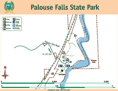
Palouse Falls State Park Map
Map of park with detail of trails and recreation zones
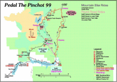
Pedal the Pinchot Bike Ride Route Map
Route Map for the Pedal the Pinchot 99 bike ride - annotated on a Park trail map.


 Maps contributed
 Big Map
  Gallery