Washington maps
Top Contributors..
-
13
FadedMemory
-
12

Brigid
-
5

nava
-
4

megpecaut
Claim the World, Map by Map
Claim a country by adding the most maps.Celebrate your territory with a Leader’s Boast.
Become World Leader by claiming the most!
Washington Cities by Map Count..
- 1Birch Bay map
- 1Blaine map
- 1Bridal Veil map
- 1Bridgeport map
- 1Brier map
- 1Brinnon map
- 1Camano map
- 1Castle Rock map
- 1Cheney map
- 1Chimacum map
- 1Clinton map
- 1Conconully map
- 1Conway map
- 1Copalis Beach map
- 1Cougar map
- 1Dallesport map
- 1Easton map
- 1Eatonville map
- 1Elbe map
- 1Electric City map
- 1Ellensburg map
- 1Enumclaw map
- 1Fall City map
- 1Federal Way map
- 1Forks map
- 1Gold Bar map
- 1Goldendale map
- 1Granite Falls map
- 1Grayland map
- 1Greenbank map
- 1Hamilton map
- 1Lake Goodwin map
- 1Lake Roesiger map
- 1Lake Stevens map
- 1Langley map
- 1Lyle map
- 1Machias map
- 1Manchester map
- 1Marysville map
- 1Mercer Island map
- 1Milton map
- 1Montesano map
- 1Mukilteo map
- 1Napavine map
- 1Neah Bay map
- 1Newcastle map
- 1Ocean Park map
- 1Ocean Shores map
- 1Orting map
- 1Pacific Beach map
Related Info
Washington Keywords
Washington Maps
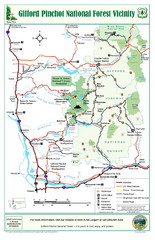
Gifford Pinchot National Forest Vicinity Map
Gifford Pinchot National Forest and surrounding areas including Mt. St Helens.
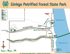
Ginkgo Petrified Forest State Park Map
Map of park with detail of trails and recreation zones
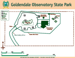
Goldendale State Park Map
Map of park with detail of trails and recreation zones
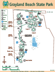
Grayland Beach State Park Map
Map of park with detail of trails and recreation zones
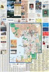
Greater Kirkland tourist map
Tourist map of Greater Kirkland, Washington. Shows all businesses.
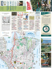
Greater Madison tourist map
Tourist map of Greater Madison, Washington. Shows all businesses.
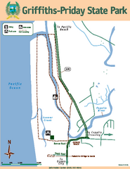
Griffiths-Priday State Park Map
Griffiths-Priday State Park
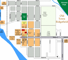
Guide Map of Old Town Ridgefield
Guide Map of Old Town Ridgefield, Washington
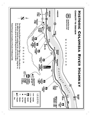
Historic Columbia River Highway Map
Official map from the US Forest Service. Shows the Corbett to Dodson stretch of Highway 30...
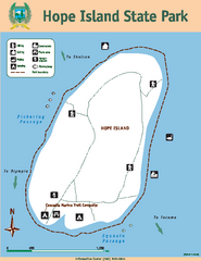
Hope Island State Park Map
Map of park with detail of trails and recreation zones
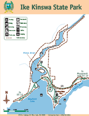
Ike Kinswa State Park Map
Map of park with detail of trails and recreation zones
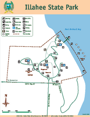
Illahee State Park Map
Map of park with detail of trails and recreation zones
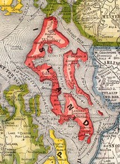
Island County Washington, 1909 Map
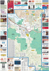
Issaquah tourist map
Issaquah, Washington tourist map. Shows all businesses.
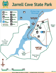
Jarrell Cove State Park Map
Map of park with detail of trails and recreation zones
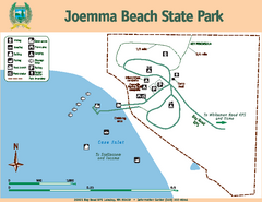
Joemma Beach State Park Map
Map of park with detail of trails and recreation zones


 Maps contributed
 Big Map
  Gallery