
 Edit this map

Neah Bay Bus Route Map
near Neah Bay, Washington

 See more

Nearby Maps

West Coast Trail Map
15 miles away
Near Port Renfrew, BC
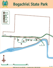
Bogachiel State Park Map
Map of park with detail of trails and recreation zones
35 miles away
Near Bogacheil State Park, Forks, WA 98331
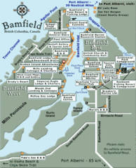
Bamfield Tourist Map
40 miles away
Near Bamfield
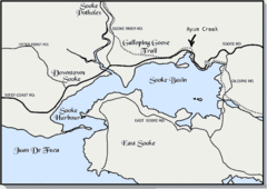
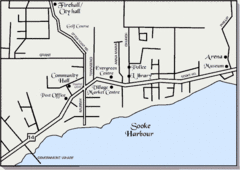
Community of Sooke, British Columbia Map
http://www.sooke.org/maps/map2.htm © Pax Media Inc.
43 miles away
Near sooke, bc

 See more


 Explore Maps
 Map Directory
 click for
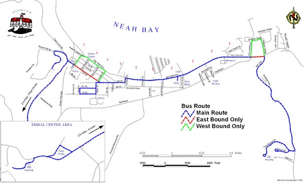
 Fullsize


0 Comments
New comments have been temporarily disabled.