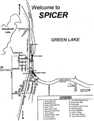
Spicer City Map
City map of Spicer, Minnesota with visitor's information
0 miles away
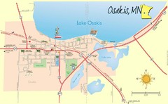
Osakis City Map
A quaint city on the shore of a beautiful lake.
45 miles away
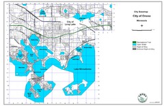
Orono City Map
City map of Orono, Minnesota. Shows DNR Luge Line Trail Railroad
68 miles away
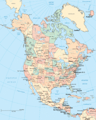
North America Map
Political map of North America. Shows states in US and provinces in Canada
74 miles away
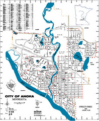
Anoka City Map
City Map of Anoka, Minnesota
75 miles away
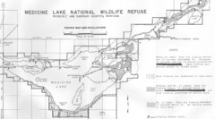
Medicine Lake Map
76 miles away
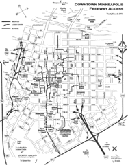
Minneapolis, Minnesota City Map
84 miles away
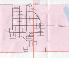
Clear Lake City Map
City map of Clear Lake, South Dakota with landmarks
91 miles away
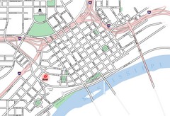
St. Paul, Minnesota City Map
92 miles away
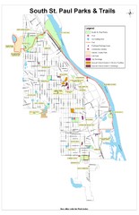
South St. Paul Parks and Trails Map
Park and trail map of South St. Paul, Minnesota.
96 miles away
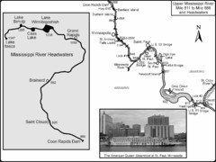
Upper Mississippi River Mile 811 to Mile 1347 Map
Historical Map from book "Mississippi River-Historical Sites and Interesting Places
96 miles away
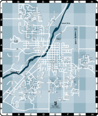
Northfield Street Map
Street map of Northfield, Minnesota
102 miles away
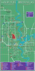
Wahpeton and Breckenridge City Map
City map of Wahpeton, North Dakota and Breckenridge, Minnesota. Shows motels, education...
108 miles away
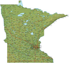
Minnesota Road Map
Minnesota road map with relief
113 miles away
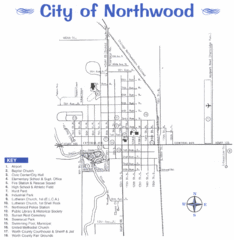
Northwood City Map
City map of Northwood, Iowa with key of churches, parks, and other points of interest.
150 miles away
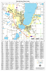
Bemidji Street Map
Street map of the Bemidji, Minnesota area
156 miles away
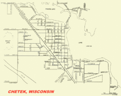
Chetek City Map
City map of Chetek, Wisconsin
160 miles away
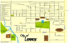
Lennox Town Map
Map of Lennox, including various recreational locations
162 miles away
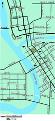
Downtown Eau Claire Eateries Map
Make sure you set aside the whole day and visit the numerous shops in Eau Claire's Downtown...
170 miles away
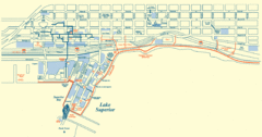
Duluth Map
172 miles away
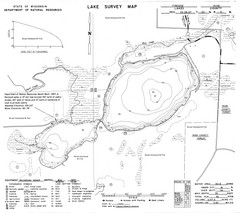
Fireside Lake Survey Map
Survey of Lake and surrounding areas done by State of Wisconsin Department of Natural Resources
176 miles away
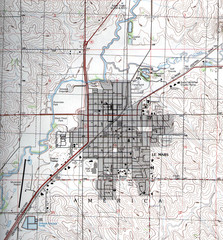
Lemars Iowa Topo Map
USGS topo map of Lemars, Iowa
180 miles away
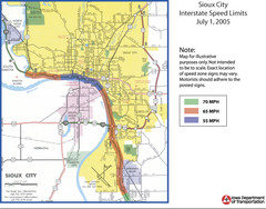
Sioux City, Iowa City Map
203 miles away
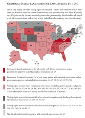
Criminal Disenfranchisement Laws in the U.S. Map
For a state-by-state guide on felony.
208 miles away
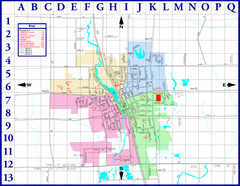
Medford City Map
City map of Medford, Wisconsin. Shows public buildings and districts.
224 miles away
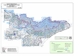
Superior National Park Map
Park Map in Minnesota. Does not include road or highway names
237 miles away
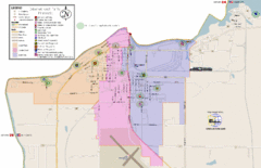
International Falls City Map
City map of International Falls, Minnesota. Shows playgrounds and other points of interest.
244 miles away
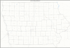
Iowa Zip Code Map
Check out this Zip code map and every other state and county zip code map zipcodeguy.com.
250 miles away
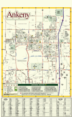
Ankeny City Map
City map of Ankeny, Iowa. Shows street index and schools.
252 miles away
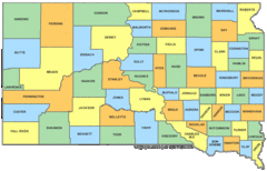
South Dakota Counties Map
260 miles away
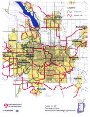
Des Moines, Iowa City Map
261 miles away
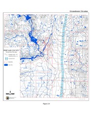
Groundwater Elevation of Portage County Map
Using the water table elevation map, generalized groundwater flow directions can be estimated.
268 miles away
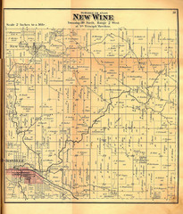
New Wine Township Iowa Atlas Map
Atlas road map of New Wine, Iowa. Year unknown. Scanned.
269 miles away
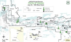
Quetico Provincial Park Map
BWCAW Visitors Map. Shows parameters of BWCAW areas, camp grounds, roads and information kiosks.
269 miles away
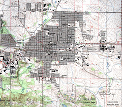
Marion Iowa Topo Map
USGS topo map of Marion, Iowa
278 miles away
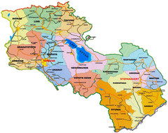
Map of Armenia and Nagorny Karabakh
Map of Armenian states - the Republic of Armenia and the Nagorno-Karabakh Republic
288 miles away
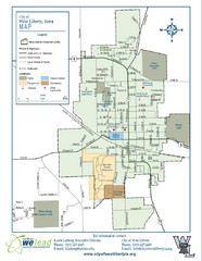
West Liberty City Map
City map of West Liberty, Iowa
313 miles away

