Quetico Provincial Park Map
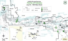
BWCAW Visitors Map. Shows parameters of BWCAW areas, camp grounds, roads and information kiosks.
0 miles away
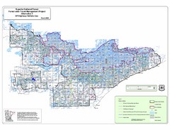
Superior National Park Map
Park Map in Minnesota. Does not include road or highway names
43 miles away
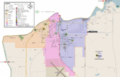
International Falls City Map
City map of International Falls, Minnesota. Shows playgrounds and other points of interest.
98 miles away
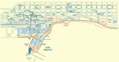
Duluth Map
108 miles away

Gull Bay First Nation route map
A simple route map that tells you how to get to Gull Bay First Nation in Northren Ontario. For...
142 miles away
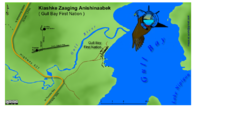
Gull Bay First Nation - How to get there map
A simple route map that tells you how to get to Kiashke Zaaging Anishinaabek (Gull Bay First Nation...
148 miles away
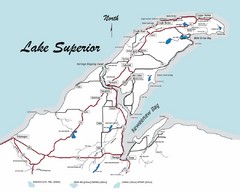
Keweenaw Peninsula Map
Map of the Keweenaw Peninsula, Michigan
155 miles away
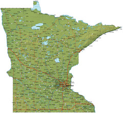
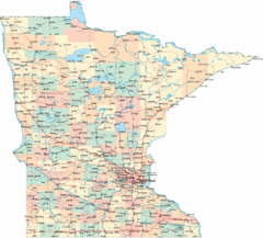
Minnesota Road Map
Minnesota road map with relief
157 miles away
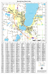
Bemidji Street Map
Street map of the Bemidji, Minnesota area
173 miles away
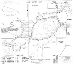
Fireside Lake Survey Map
Survey of Lake and surrounding areas done by State of Wisconsin Department of Natural Resources
202 miles away
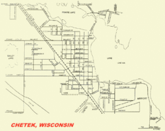
Chetek City Map
City map of Chetek, Wisconsin
203 miles away
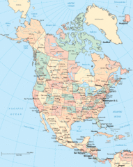
North America Map
Political map of North America. Shows states in US and provinces in Canada
215 miles away
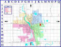
Medford City Map
City map of Medford, Wisconsin. Shows public buildings and districts.
219 miles away
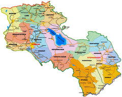
Map of Armenia and Nagorny Karabakh
Map of Armenian states - the Republic of Armenia and the Nagorno-Karabakh Republic
222 miles away
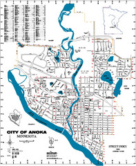
Anoka City Map
City Map of Anoka, Minnesota
232 miles away
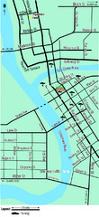
Downtown Eau Claire Eateries Map
Make sure you set aside the whole day and visit the numerous shops in Eau Claire's Downtown...
237 miles away
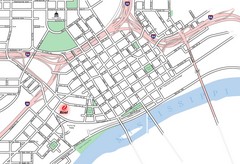
St. Paul, Minnesota City Map
243 miles away
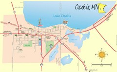
Osakis City Map
A quaint city on the shore of a beautiful lake.
243 miles away
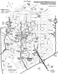
Minneapolis, Minnesota City Map
244 miles away
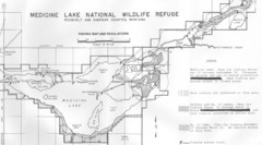
Medicine Lake Map
245 miles away
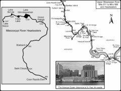
Upper Mississippi River Mile 811 to Mile 1347 Map
Historical Map from book "Mississippi River-Historical Sites and Interesting Places
245 miles away
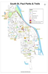
South St. Paul Parks and Trails Map
Park and trail map of South St. Paul, Minnesota.
246 miles away
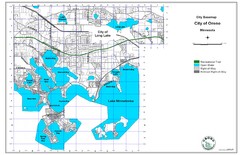
Orono City Map
City map of Orono, Minnesota. Shows DNR Luge Line Trail Railroad
251 miles away
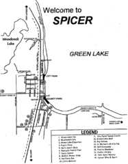
Spicer City Map
City map of Spicer, Minnesota with visitor's information
269 miles away
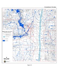
Groundwater Elevation of Portage County Map
Using the water table elevation map, generalized groundwater flow directions can be estimated.
271 miles away
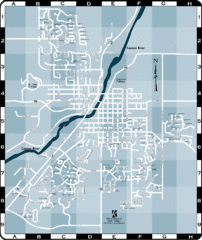
Northfield Street Map
Street map of Northfield, Minnesota
276 miles away
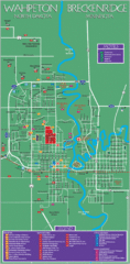
Wahpeton and Breckenridge City Map
City map of Wahpeton, North Dakota and Breckenridge, Minnesota. Shows motels, education...
283 miles away
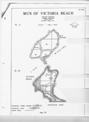
Victoria Beach and Elk Island Map
292 miles away
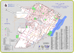
Ashwaubenon Street Map
303 miles away
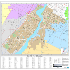
De Pere City Map
Official street map of city of De Pere, Wisconsin
306 miles away
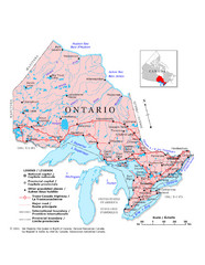
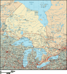
Ontario Map
Overview map of Ontario, Canada
308 miles away
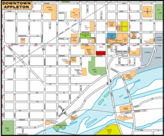
Downtown Appleton Map
309 miles away
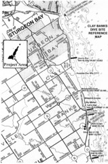
Clay Banks, Wisconsin Survey Project Map
309 miles away
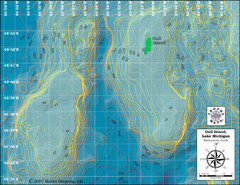
Gull Island Bathymetric Map
312 miles away
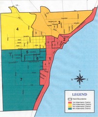
Algoma City Map
City map of Algoma with Aldermanic Districts
312 miles away
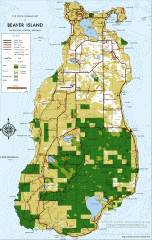
Beaver Island Michigan Map
Map of Beaver Island, Michigan. Created in 1977 by William Cashman and Edward Wojan. From...
324 miles away
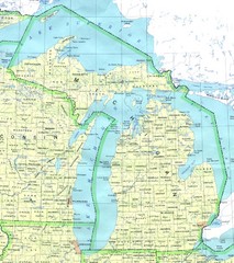
Lake Michigan Map
327 miles away

