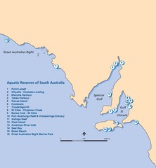
Aquatic Reserves of South Australia Map
Map shows the location of the state of South Australia's aquatic reserves. "Aquatic...
0 miles away
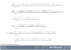
Woodhead Community Lifestyle Map
Elevation sections of the Blue Dolphin Joint Venture in North Sydney
821 miles away
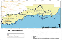
Australia South Coast Region Map
The South Coast region of Australia and proposed new boundaries by Natural Resources Management...
993 miles away

Lady Musgrave Island Map
Photo of map showing isliand and Lady Musgrave Reef
1190 miles away
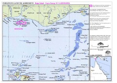
Torres Strait Land Use Map
Map of land use agreement for Boigu Island. Shows islands in the Torres Strait between Papua New...
1765 miles away
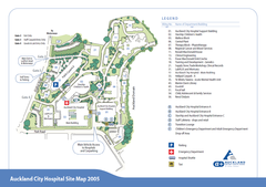
Auckland City Hospital Site Map 2005
2121 miles away
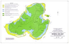
Kosrae Island Soil Map
General soil map of Kosrae Island
3242 miles away
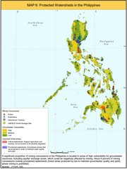
Protected Watersheds in the Philippines Map
Shows mining concessions, groundwater vulnerability, and watersheds in the Philippines. From site...
3398 miles away
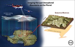
Gamburtsev Subglacial Mountains Map
First ever map of the last unexplored mountains on the planet, the Gamburtsev Subglacial Mountains...
3546 miles away
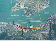
Hong Kong Island Land Reclamation Map
4205 miles away
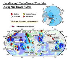
Global Map of Hydrothermal Vents
Map of underwater hydrothermal vents. Could not get to original to get more detailed areas. Vents...
4639 miles away

Urban Region Map: Japan Map
This Urban of Japan is a modern twist on traditional maps - perfect to frame and display on any...
4895 miles away

Trail to Paga Monastery Map
Trail to Paga Monastery near Chudzomtsa
5281 miles away
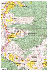
Trail from Sisina to Kunzangdechen monastery Map
Sisina to Kunzangdechen trail
5283 miles away
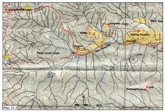
Dochula to Lungchuzekha Gonpa trail map 2
5283 miles away
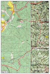
Dochula to Lungchuzekha Gonpa trail map 1
Dochula to Lungchuzekha Gonpa trail . Near Thmphu,Bhutan
5283 miles away
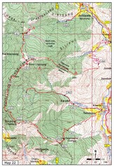
Trail to Bemri Lhakhang Map
Trail to Bemri Lhakhang south of Thimphu
5284 miles away
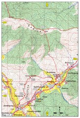
Khasadrapchu to Thimphu trail pt 1 Map
5285 miles away
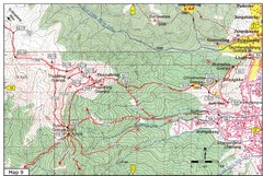
Dechenphodrang and Pajoding, Thimphu Map
Dechenphodrang to Pajoding, Tujedrag and Pumola monastaries
5287 miles away
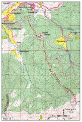
Simtokha-Talakha trail near Thimphu Map
Simtokha to Talakha trail
5287 miles away
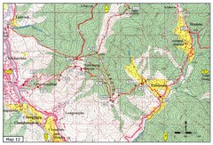
Trail from Yangchenphug HS to Thadranang and...
Yangchenphug high school to Thadranang, Oselpang near Hongtso
5287 miles away
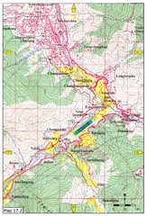
Khasadrapchu to Thimphu trail pt 2 Map
Khasadrapchu to Thimphu trail part 2. (Rama to Thimphu)
5288 miles away
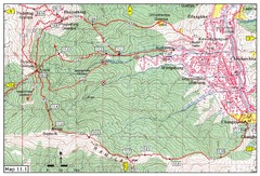
Trail fom Youth Center Thimphu to Pumola...
Way to Pumola monastery
5289 miles away
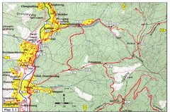
Dechencholing to Sinchula, Thimphu Map
Dechencholing,Kabisa
5290 miles away
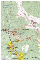
Trails near Tango Monastery, Thimphu Map
Trails around Tango Monastery, Thimphu, Bhutain
5290 miles away

Thimphu Punakha trail Map
5290 miles away
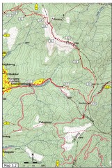
Droley Gonpa trail, Thimphu Map
5290 miles away
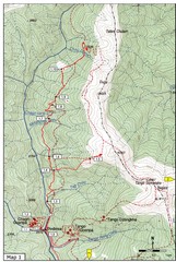
Trails near Cgagri monastery, Thimphu Map
trails near Chagri monastery Thimphu, Bhutan
5290 miles away
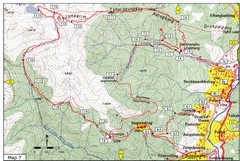
Dechenphu Valley, Thimphu Map
5291 miles away
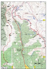
Trail to Bimelang Lake, Thimphu Map
Bimelang Lake Trail
5292 miles away
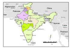
Political Map of India, Fully Editable in...
Political Map of India with boundaries of few Western and Northern states. Major cities have been...
5386 miles away

Osakana Fish Map
Map of Osakana, Japan shows all native fish. In Japanese.
5409 miles away
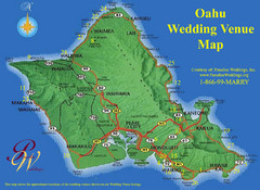
Oahu Wedding Venue Map
5768 miles away
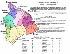
Big Island Hawaii Tax Map
Hawaii Big Island Tax Map Key
5805 miles away
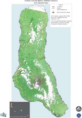
Grand Comore Island Volcanic Eruption Map
Karthala volcanic eruption post disaster map on Grand Comore Island, 8/12/2005
5970 miles away
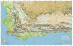
Cape West Map
A relief map of Cape Town's environs
6129 miles away
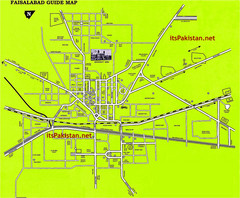
Faisalabad Road Map
This is a map of Faisalabad Pakistan showing important places of Faisalabad and main roads
6166 miles away
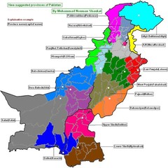
Pakistan new provinces map
new suggested provinces of pakistan Only on the basis of administration not on caste or language.
6181 miles away

