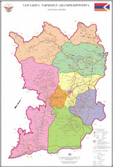
Map of the Nagorno-Karabakh Republic (Artsakh)
Administrative Map of the Nagorno-Karabakh Republic (Republic of Artsakh)
2266 miles away
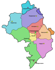
Administrative Map of Nagorny Karabakh (Artsakh)
Administrative Division of the Nagorno-Karabakh Republic (Artsakh)
2272 miles away
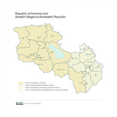
Map of Armenian states - the Republic of Armenia...
Map of Armenian states - the Republic of Armenia and the Nagorno-Karabakh Republic
2273 miles away
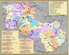
Monuments of Armenia and Nagorny Karabakh Map
Monuments of modern Armenian states - the Republic of Armenia (Ararat Republic) and the Nagorno...
2274 miles away
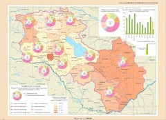
Educational Attainment in Armenia and Nagorny...
Map of Educational Attainment in the Armenian states - Republic of Armenia and the Nagorno-Karabakh...
2282 miles away
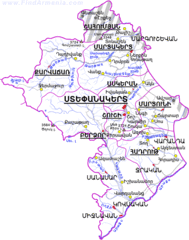
Map of the NKR
Map of the Nagorno-Karabakh Republic (Republic of Artsakh)
2284 miles away
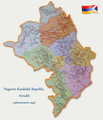
Map of the Nagorno-Karabakh Republic (Artsakh)
Administrative Map of the Nagorno-Karabakh Republic (Republic of Artsakh)
2286 miles away
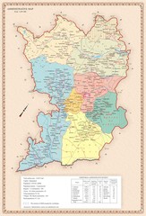
Karabakh Map
Administrative Map of the Nagorno-Karabakh Republic (Artsakh)
2366 miles away
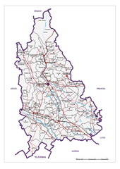
Dambovita County, Romania Map
Administrative map of Dambovita County, Romania. The map shows, also, all important roads.
3378 miles away
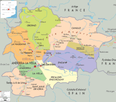
Andorra: political Map
4581 miles away

