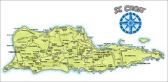
St. Croix Island Map
Overview map of island of St. Croix, US Virgin Islands. Shows districts, roads, and towns.
1495 miles away
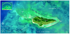
Buck Island Reef National Monument Map
Official NPS park map of Buck Island Reef National Monument off island of St. Croix in the US...
1501 miles away
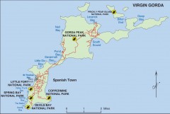
Map of Virgin Gorda
Map of Virgin Gorda in the British Virgin Islands. Shows national parks.
1508 miles away

Map of Anegada
Map of Anegada island of the British Virgin Islands.
1509 miles away
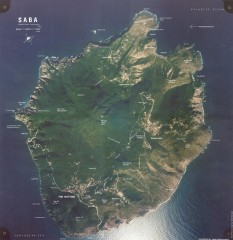
Saba aerial map
Aerial map of Saba. Shows major geological features and towns. Home of one of the world's...
1593 miles away
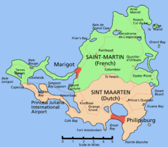
Saint Martin Map
Overview map shows entire island of Saint Martin (French) or Sint Maarten (Dutch).
1599 miles away
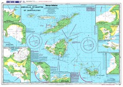
Anguilla St. Martin St. Barthelemy Nautical Map
Nautical map of Anguilla St. Martin St. Barthelemy. Shows insets of major ports.
1602 miles away
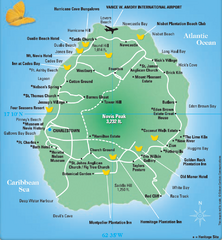
Nevis Tourist Map
Tourist map of Nevis Island, near St. Kitts. Shows inns, villages, and other points of interest.
1642 miles away
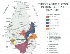
Pyroclastic flows in Montserrat 1997-1998 Map
Shows pyroclastic flows and destroyed settlements in 1997-1998.
1673 miles away
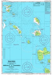
Leeward Islands Nautical Map
Nautical chart of the Leeward Islands in the Caribbean
1692 miles away
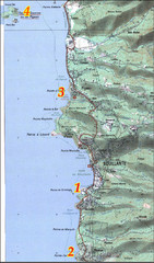
Bouillante West Coast Topo Map
Topo map of the west coast of island of Basse-Terre in the Guadeloupe Archipelago.
1710 miles away
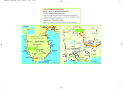
Basse-Terre Overview Map
Shows location of Hotel Le Jardin Malanga in southern Basse-Terre, Guadeloupe.
1717 miles away
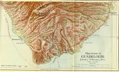
Guadeloupe British Military Operations 1810 Map
Map shows Guadeloupe British Military Operations by land and sea in 1810
1717 miles away
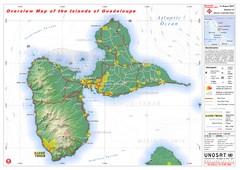
Guadeloupe Overview Map
Overview physical map of Basse-Terre and Grande-Terre Islands in the French Guadeloupe archipelago...
1723 miles away
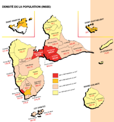
Guadeloupe Population Density Map
Population density of Guadeloupe Islands. A prefecture of France. Data as of 8/12/2003
1732 miles away
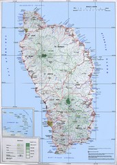
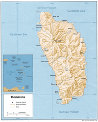
Dominica Map
Overview map of Dominica. Shows elevation.
1748 miles away
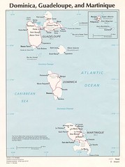
Dominica, Guadeloupe and Martinique Map
Overview map of Dominica, Guadeloupe, and Martinique islands.
1761 miles away
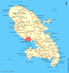
Martinique Map
Overview map of island of Martinique
1784 miles away
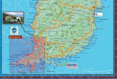
Tourist map of Grenada
Tourist map of Grenada in the Caribbean. Shows businesses and points of interest.
1800 miles away
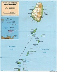
St. Vincent Map
Map of St. Vincent and the Grenadines in the Caribbean.
1806 miles away
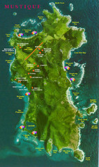
Mustique Island Map
Tourist map of private island of Mustique. Shows tourist points of interest
1812 miles away
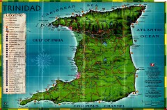
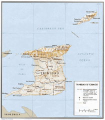
Trinidad tourist map
Trinidad tourist map. Shows points of interest.
1872 miles away
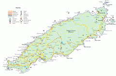
Tourist and Road map of Tobago
Tourist and Road map of Tobago in the Caribbean.
1886 miles away

Bridgetown Tourist Map
Tourist map of central Bridgetown, Barbados. Shows shops and businesses.
1907 miles away
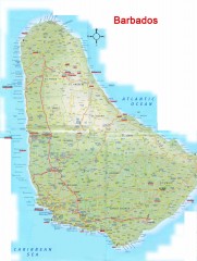
Barbados Road Map
Detailed road map of Barbados. Shows all towns. A scan of lower quality.
1909 miles away
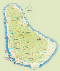
Barbados Tourist Map
Tourist map of Barbados. A bit fuzzy.
1909 miles away

