
 Edit this map

St. Croix Island Map
near St. Croix, US Virgin Islands
View Location
Overview map of island of St. Croix, US Virgin Islands. Shows districts, roads, and towns.

 See more

Nearby Maps
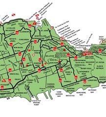
Central St. Croix Map
less than 1 mile away
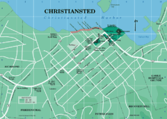
Christiansted Map
2 miles away
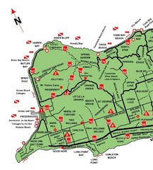
West St. Croix Map
7 miles away
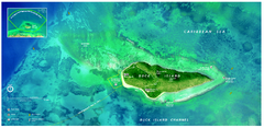
Buck Island Reef National Monument Map
Official NPS park map of Buck Island Reef National Monument off island of St. Croix in the US...
9 miles away
Near Buck Island Reef National Monument, St. Croix
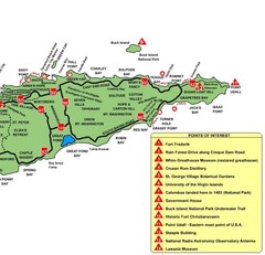
East St. Croix Map
9 miles away
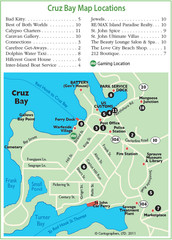
Cruz Bay St. John Map
42 miles away
Near cruz bay

 See more


 Explore Maps
 Map Directory
 click for
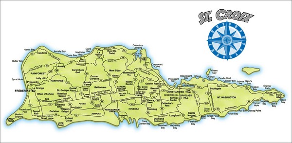
 Fullsize

0 Comments
New comments have been temporarily disabled.