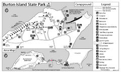
Burton Island State Park map
Campground map of Burton Island State Park in Vermont
0 miles away
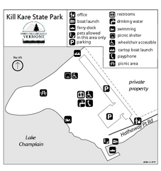
Kill Kare State Park map
Campground map of Kill Kare State park in Vermont
2 miles away
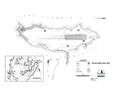
Woods Island State Park Campground Map
Campground map of Woods Island State Park in Vermont
2 miles away
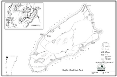
Knight Island State Park Campground Map
Map of Knight Island State Park in Vermont
3 miles away
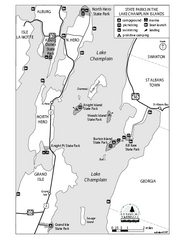
State Parks of the Champlain Islands Map
Map of the various State Parks of the Inland Sea / Lake Champlain area in Vermont
5 miles away
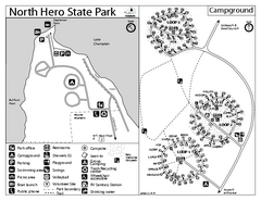
North Hero State Park Campground Map
Campground map of North Hero in Vermont
6 miles away
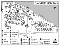
Grand Isle State Park Campground Map
Campground map for Grand Isle State Park in Vermont
8 miles away
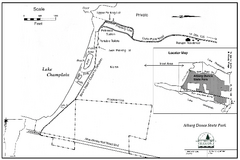
Alburg Dunes State Park map
Map of Alburg Dunes State Park in Vermont.
8 miles away
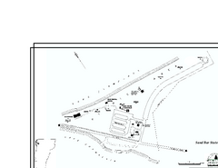
Sand Bar State Park Map
Campground map of Sand Bar State Park in Vermont
10 miles away
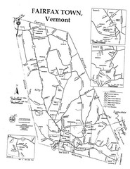
Fairfax Town Map
12 miles away
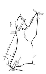
30K Race Course Map
Green Mountain Athletic Association Common to Common 30K Course Map in Essex Junction, VT
20 miles away
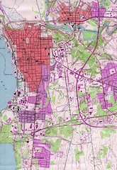
Burlington Vt 87 Map
Topographical map of the city of Burlington, Vt.
21 miles away
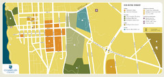
Burlington, Vermont City Tourist Map
The city of Burlington, Vermont
21 miles away
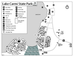
Lake Carmi State Park Campground Map
Capground of Lake Carmi State Park in Vermont
21 miles away
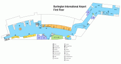
Burlington International Airport Terminal Map
Official Terminal Map of Burlington International Airport. All areas shown.
21 miles away
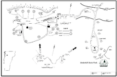
Underhill State Park Campground Map
Campground map for Underhill State Park in Vermont.
23 miles away
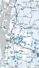
Chittenden County Map
24 miles away
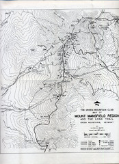
Mount Mansfield Map
Long Trail map for Green Mountains in Vermont
25 miles away
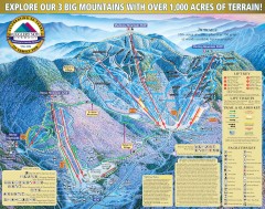
Smugglers' Notch Ski Trail map 2006-07
Official ski trail map of Smugglers' Notch (Smuggs) ski area from the 2006-2007 season.
25 miles away
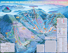
Smugglers’ Notch Resort Ski Trail Map
Trail map from Smugglers’ Notch Resort.
25 miles away
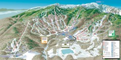
Stowe ski trail map 2006-07
Complete ski trail map of Stowe Mountain resort for 2006-2007 season.
26 miles away
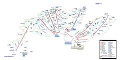
Stowe Mountain Resort Ski Trail Map
Trail map from Stowe Mountain Resort, which provides downhill, nordic, and terrain park skiing. It...
27 miles away
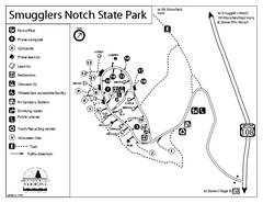
Smugglers Notch State Park Campground Map
Campground map of Smugglers Notch State Park in Vermont
27 miles away
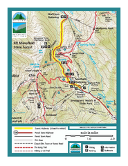
Smugglers Notch Trail Map
Trail map for Smugglers Notch State Park in Vermont
27 miles away

Bolton Valley Resort Ski Trail Map
Trail map from Bolton Valley Resort.
30 miles away
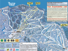
Bolton Valley Resort ski trail map
Official ski trail map of Bolton Valley ski area from the 2005-2006 season.
30 miles away
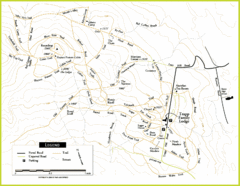
Trapp Ski Center Trail Map
Map of trails in the ski center at the Trapp Family Lodge
31 miles away
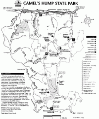
Camel's Hump State Park map
Map of Camel's Hump State Park, Vermont. Shows all hiking, snowmobile, and X-C ski trails...
34 miles away
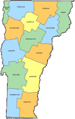
Vermont Counties Map
34 miles away
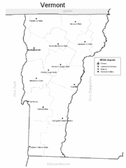
Vermont Airports Map
34 miles away
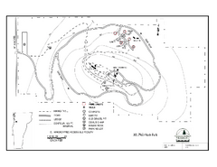
Mt. Philo State Park Campground Map
Campground map for Mt. Philo State Park in Vermont
34 miles away
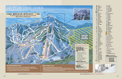
Jay Peak Ski Trail Guide Map
Official ski trail map of Jay Peak ski area from the 2006-207 season.
36 miles away
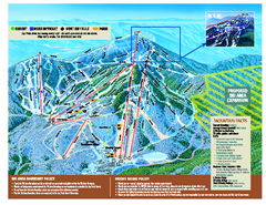
Jay Peak Ski Trail Map
Trail map from Jay Peak.
36 miles away
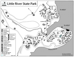
Little River State Park Campground Map
Campground map of Little River State Park in Vermont
36 miles away
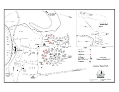
Elmore State Park map
Campground map of Elmore State Park in Vermont
38 miles away
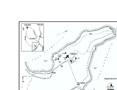
Kingsland Bay State Park Map
Campground map for Kingsland Bay State Park in Vermont
39 miles away
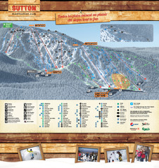
Mont Sutton Trail map
39 miles away
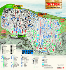
Mont Sutton Ski Trail Map
Trail map from Mont Sutton, which provides downhill skiing. This ski area has its own website.
39 miles away
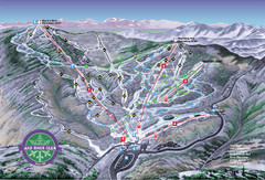
Mad River Glen Ski Trail Map
Trail map from Mad River Glen, which provides downhill skiing. It has 5 lifts servicing 45 runs...
42 miles away

Mad River Glen Ski Area Trail Map
Official ski trail map of Mad River Glen ski area from the 2006-207 season.
42 miles away

