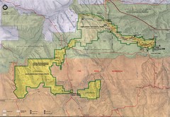
Badlands National Park Map
0 miles away
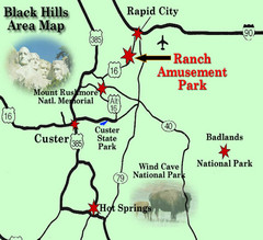
Black Hills Area Map
52 miles away
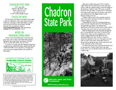
Chadron State Park Map
The majestic beauty of the Pine Ridge forms the backdrop for this great, get away from it all state...
75 miles away
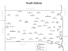
South Dakota Airports Map
134 miles away
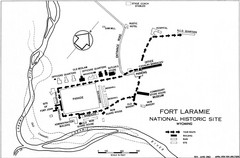
Fort Laramie Guide Map
A layout of the National Historic site Fort Laramie in Wyoming.
143 miles away
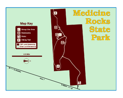
Medicine Rocks State Park Map
As the name implies, Medicine Rocks was a place of "big medicine" where Indian hunting...
187 miles away
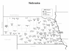
Nebraska Airports Map
205 miles away
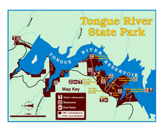
Tongue River Reservoir State Park Map
The 12-mile long reservoir is situated among scenic red shale, juniper canyons, and the open...
232 miles away
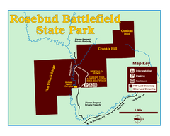
Rosebud Battlefield State Park Map
This National Historic Landmark on the rolling prairie of eastern Montana preserves the site of the...
243 miles away
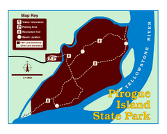
Pirogue Island State Park Map
Visitors find this isolated and undeveloped cottonwood-covered Yellowstone River island an...
247 miles away
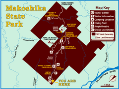
Makoshika State Park Map
To the Sioux Indians, Ma-ko-shi-ka meant bad earth or bad land. Today, as Montana’s largest...
254 miles away
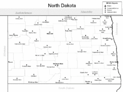
North Dakota Airport Map
277 miles away
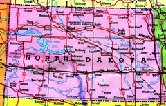
North Dakota Tourist Map
277 miles away
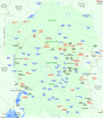
Rocky Mountain National Park Tourist Map
282 miles away
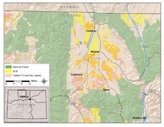
North Park Colorado Map
284 miles away
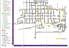
Watford City Map
Map of Watford City, McKenzie County, North Dakota. Includes streets, important buildings, parks...
286 miles away
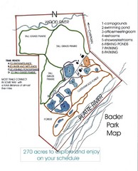
Bader Park Map
294 miles away
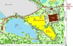
Denver City Park Map
300 miles away
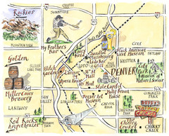
Denver Tourist Illustrated map
300 miles away
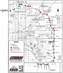
Denver Toll Road Map
300 miles away
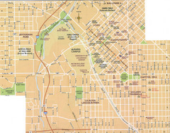
Denver, Colorado City Map
300 miles away
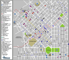
Downtown Denver, Colorado Tourist Map
301 miles away
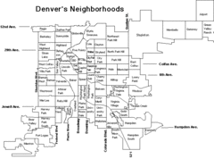
Denver Neighborhoods Map
301 miles away
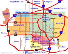
Denver Neighborhoods Map
301 miles away
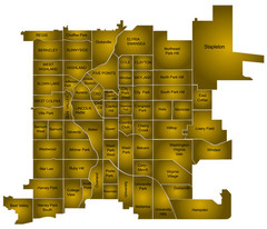
Denver Neighborhoods Map
301 miles away
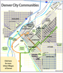
Central Denver Neighborhoods Map
301 miles away
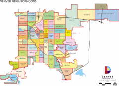
Denver Neighborhoods Map
301 miles away
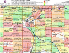
Denver Neighborhoods Map
301 miles away
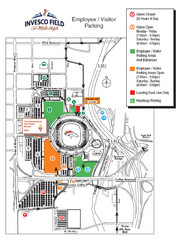
Denver, Colorado Invesco Field Parking Map
301 miles away
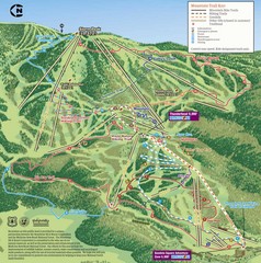
Steamboat Springs Bike Trail Map
Bike trail for Steamboat Springs mountain bike trail.
312 miles away
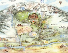
Steamboat Springs Map
A fun map marking points of interest and more.
312 miles away
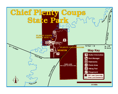
Chief Plenty Coups State Park Map
Simple and clear map of State Park.
318 miles away
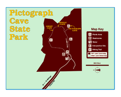
Pictograph Cave State Park Map
The 2,730-square-foot building, on the northwestern side of the existing parking lot, is designed...
320 miles away
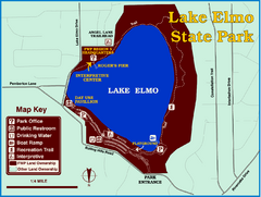
Lake Elmo State Park Map
This urban day-use park attracts visitors to swim, sailboard, and fish. A display in the Fish...
326 miles away
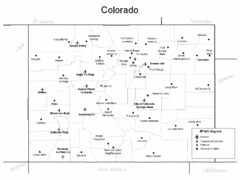
Colorado Airport Map
332 miles away
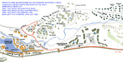
Keystone, Colorado Map
Areas around Keystone resort in Colorado
334 miles away
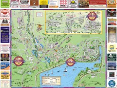
Summit County Resort Maps Map
Resort Maps of Summit County is the most widely distributed map in Frisco, Copper Mountain...
334 miles away
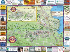
Frisco, CO Resort Map
Resort Maps of Summit County is the most widely distributed map in Frisco, Copper Mountain...
338 miles away
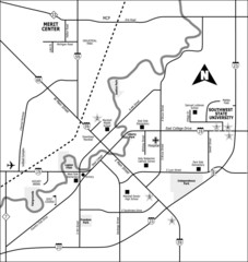
City of Marshall Visitor's Map
City of Marshall Visitor's Map describes the location of basic needs as well as recreational...
341 miles away
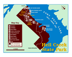
Hell Creek State Park Map
You’ll reach this campground park, 25 miles north of Jordan, through the spectacular scenery...
342 miles away

