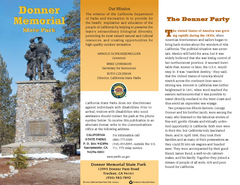
Donner Memorial State Park Map
Map of park with detail of trails and recreation zones
0 miles away
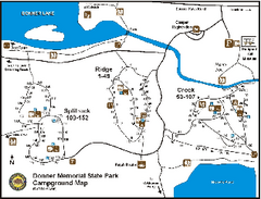
Donner Memorial State Park Campground Map
Map of park with detail of trails and recreation zones
less than 1 mile away
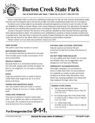
Burton Creek State Park Map
Map of park with detail of trails and recreation zones
11 miles away
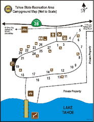
Tahoe State Recreation Area Campground Map
Map of park with detail of trails and recreation zones
11 miles away
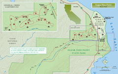
Sugar Pine Point State Park North Map
Map of northern region of park with detail of trails and recreation zones
20 miles away
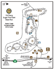
Sugar Pine Point State Park Campground Map
Map of campground region of park with detail of trails and recreation zones
20 miles away
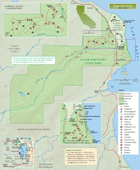
Sugar Pine Point State Park Map
Map of park with detail of trails and recreation zones
20 miles away

Sugar Pine Point State Park South Map
Map of southern region of park with detail of trails and recreation zones
20 miles away
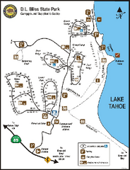
D.L. Bliss State Park Campground Map
Map of park with detail of trails and recreation zones
25 miles away
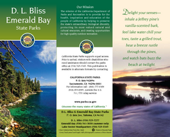
D.L. Bliss State Park Map
Map of park with detail of trails and recreation zones
25 miles away
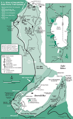
Emerald Bay State Park and DL Bliss State Park...
Trail map of Emerald Bay State Park and DL Bliss State Park on the shores of Lake Tahoe, California
26 miles away
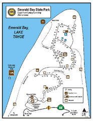
Emerald Bay State Park Campground Map
Map of park with detail of trails and recreation zones
27 miles away
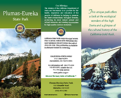
Plumas-Eureka State Park Map
Map of park with detail of trails and recreation zones
39 miles away
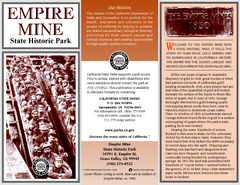
Empire Mine State Historic Park Map
Map of park with detail of trails and recreation zones
44 miles away
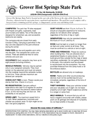
Grover Hot Springs State Park Campground Map
Map of park with detail of trails and recreation zones
48 miles away
Auburn State Recreation Area Map
Map of park with detail of of trails and recreation zones
50 miles away
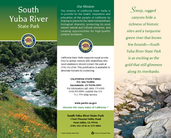
South Yuba River State Park Map
Map of park with detail of trails and recreation zones
51 miles away
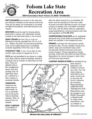
Folsom Lake State Recreation Area Campground Map
Map of park with detail of trails and recreation zones
64 miles away
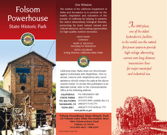
Folsom Powerhouse State Historic Park Map
Map of park with detail of trails and recreation zones
65 miles away
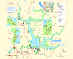
Lake Oroville State Recreation Area Map
Map of recreation area with detail of trails and recreation zones
65 miles away
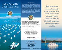
Lake Oroville State Recreation Area Map
Map of recreation area with detail of trails and recreation zones
66 miles away
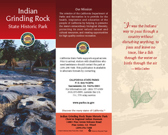
Indian Grinding Rock State Historic Park Map
Map of park with detail of trails and recreation zones
66 miles away
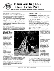
Indian Grinding Rock State Historic Park...
Map of campground region of park with detail of trails and recreation zones
66 miles away
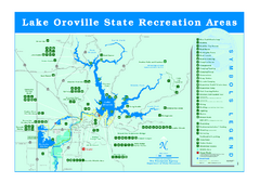
Lake Oroville State Recreation Area Map
Recreation overview map of Lake Oroville State Recreation Area near Oroville, California. Show all...
71 miles away
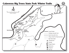
Calaveras Big Trees State Park Winter Map
Map of park with detail of winter ski trails and recreation zones
73 miles away
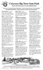
Calaveras Big Trees State Park Map
Map of park with detail of trails and recreation zones
73 miles away
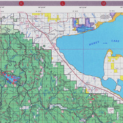
Lassen National Park Map
Forest Visitor Map of the farthest east of the park, shows all camping and recreational areas and...
81 miles away
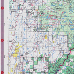
Lassen National Park Map
Visitor Map that shows most of Lassen National Forest with locations of camp grounds and...
82 miles away
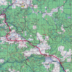
Lassen National Park Map
Forest Visitor Map showing locations of most camping and recreational areas in the eastern part of...
82 miles away
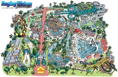
Raging Waters Sacramento Map
Fun and amusing water park for the whole family!
85 miles away
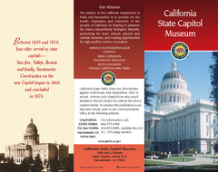
California State Capitol Museum Map
Map of museum and park
85 miles away
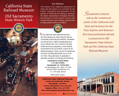
Old Sacramento State Historic Park Map
Map of park and museum with detail of trails and recreation zones
85 miles away
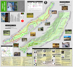
Upper and Lower Bidwell Park Bike Map
Bike map of Upper Bidwell Park and Lower Bidwell Park in Chico, California
87 miles away
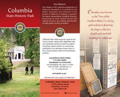
Columbia State Historic Park Map
Map of park with detail of trails and recreation zones
89 miles away

Bodie State Park NE Map
Map of park with detail of trails and recreation zones
101 miles away

Bodie State Park NW Map
Map of park with detail of trails and recreation zones
101 miles away
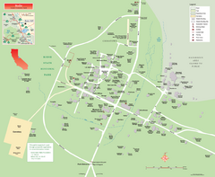
Bodie State Park Map
Map of park with detail of trails and recreation zones
101 miles away

Bodie State Park SW Map
Map of park with detail of trails and recreation zones
102 miles away

Bodie State Park SE Map
Map of park with detail of trails and recreation zones
102 miles away
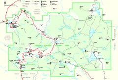
Lassen Volcanic National Park Official Park Map
Official NPS map of Lassen Volcanic National Park in California. Map shows all areas. Lassen...
102 miles away

