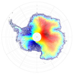
Antarctica Land and Ice Elevation Map
The colors on the map above represent ICESat’s measurements of Antarctica’s topography...
0 miles away
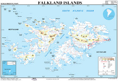
Falkland Islands Map
Overview elevation map of the Falkland Islands
2419 miles away
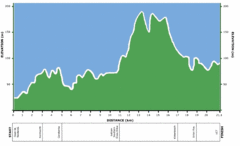
Two Oceans Half Marathon Elevation Map
Elevation map for the Two Oceans Half Marathon
3475 miles away
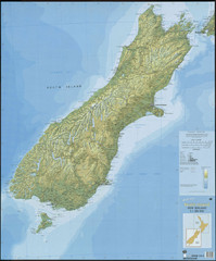
South Island New Zealand Map
Elevation map of South Island, New Zealand
3618 miles away
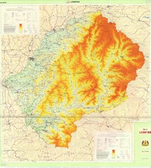
Lesotho Physical Map
Physical map of Lesotho. Shaded by elevation.
3813 miles away
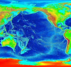
Pacific Elevation Map
Elevation Map of the Pacific Ocean and surrounding continents
3936 miles away
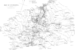
St Helena Historical Map
Map of St Helena by Fowler
4122 miles away
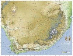
Africa South Full Map
A new relief map of Africa South showing some roads and towns and with boundaries natural replacing...
4181 miles away
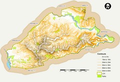
Canterbury Contour Map
The above map, which has lines marked to indicate points or areas that are the same elevation above...
4281 miles away
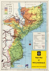
Mozambique Road Map
Shows major roads. Color-coded by elevation.
4602 miles away
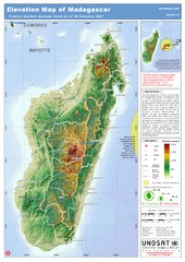
Madagascar Elevation Map
Shows color-coded elevation of island of Madagascar. Shows tropical cyclone Gamede track as of Feb...
4657 miles away
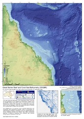
Great Barrier Reef and Coral Sea Bathymetry Map
High resolution depth and elevation map of the Great Barrier Reef, Coral Sea and neighbouring...
5229 miles away
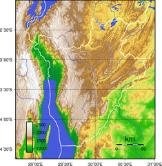
Burundi Topography Map
Color-coded physical relief map of country of Burundi
5639 miles away
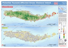
Tunami Affected Areas of Choiseul Island Map
The map illustrates the areas 10m and below potentially affected by the tsunami on the coast of...
6150 miles away
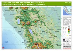
Elevation Over the Earthquake -Affected Areas of...
This map represents the range of elevation for the area affected by the 6.3 magnitude earthquake...
6268 miles away
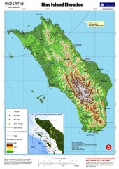
Nias Island Elevation and Earthquake Map
Elevation of Nias Island with details of March 2005 Earthquake.
6390 miles away
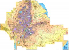
Ethiopia Elevation Map
Color coded elevation map of Ethiopia
6545 miles away
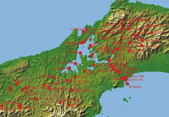
Panama Canal Authority (ACP) Meterological...
Panama Canal Authority (ACP) Meterological Monitoring stations are identified on map of Panama
6713 miles away
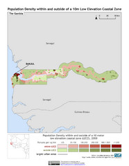
The Gambia 10m LECZ and Population Density Map
Populaton Density within and outside of a 10 meter Low Elevation Coastal Zone
6727 miles away
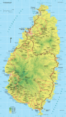
St. Lucia Island Map
High quality road and physical map of island of St. Lucia. Elevations are color-coded.
6945 miles away
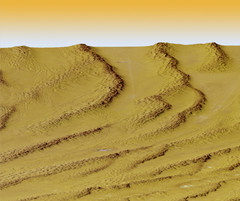
Digital Elevation Model Ataq, Yemen Map
Digital Elevation Model Ataq, Yemen Map
6953 miles away
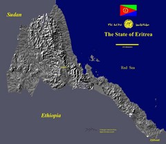
State of Eritrea Drainage and Elevation Map
Eritrea elevation map with drainage lines shown
6958 miles away
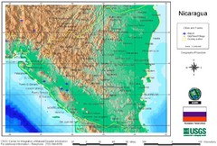
Nicaragua City and Town Elevation Map
Elevation map of Nicaragua with cities, towns, and airports detail.
6976 miles away
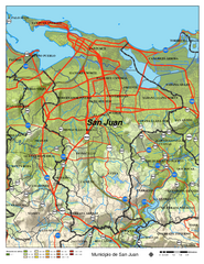
San Juan Road Map
Road map of San Juan, Puerto Rico area. Shows shaded elevation.
7290 miles away
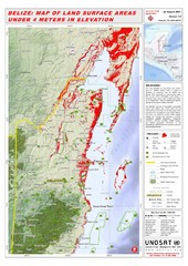
Belize Land Surface Areas Under 4 Meters Map
This map shows elevation areas in Belize under 4 meters in Red. This was the limit for the storm...
7365 miles away
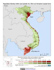
Vietnam 10m LECZ and Population Density Map
Low Elevation Coastal Zone and population desnsity within and outside of a 10 meter low evelevation...
7405 miles away
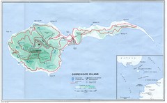
Corregidor Island Map
Elevation map with major roads and installations of Corregidor Island Battlefield Memorial
7463 miles away
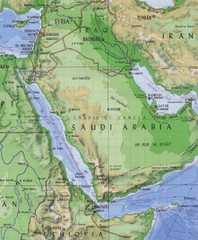
Arabia and the Red Sea Elevation Map
Pre-Islamic Arabia and the early empire elevation map
7586 miles away
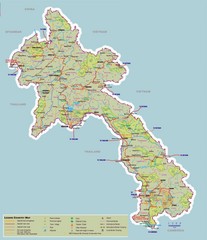
Laos Map
Map of Laos with elevations, cities and tourism information
7665 miles away
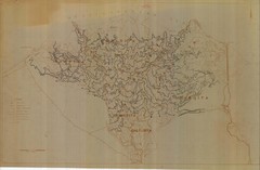
Draft Elevation Map Nile Delta
Draft Elevation Map Nile Delta with contour lines
7719 miles away
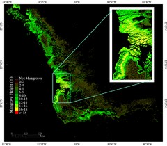
Mangrove Height Map
Map of Mangrove Forest Height was produced using the elevation data from the Shuttle Radar...
7877 miles away
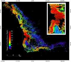
Mangrove Biomass Map
Map of Mangrove Forest Biomass was produced using the elevation data from the Shuttle Radar...
7877 miles away
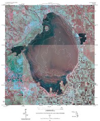
Elevation Contours of Lake Okeechobee Map
Elevation contour maps of Lake Okeechobee
7976 miles away
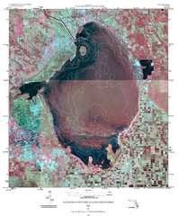
Elevation contour maps of Lake Okeechobee Map
Elevation contour maps of Lake Okeechobee
7976 miles away
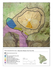
Important Bird Areas of Hawaii Map
Mauna Kea Mamane-Naio Forest Site with elevations and bird areas designated on the map.
7978 miles away
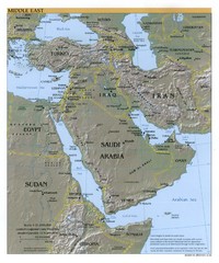
Middle East Reference Map
Reference map of Middle East with shaded relief
8004 miles away
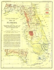
Topography of Florida Map
Topographic map of Florida that was developed in 1913. It shows the elevation changes that are...
8032 miles away
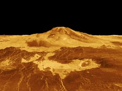
Magellan Venus Map
Digital elevation map of Venus from Magellan.
8081 miles away
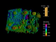
Digital Elevation Map of Lunar South Pole
Image brightness is generated from the strength of the radar echoes that are bounced of the lunar...
8081 miles away
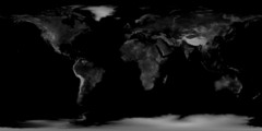
Earth Elevation Bump Map
Earth Elevation/Bump in Black and White
8081 miles away

