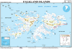
Falkland Islands Map
Overview elevation map of the Falkland Islands
0 miles away
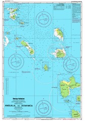
Leeward Islands Nautical Map
Nautical chart of the Leeward Islands in the Caribbean
4737 miles away
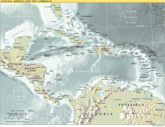
Overview map of Central America and the Caribbean
Shows the entire Caribbean region with names of islands/countries and major towns/cities.
4823 miles away
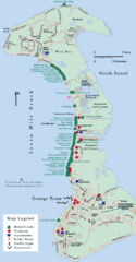
Cayman Islands Tourist Map
5091 miles away
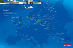
French Polynesia Map
Show islands of French Polynesia overlaid on outline map of Europe. Shows Air Tahiti flight...
5248 miles away
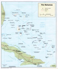
The Bahamas Tourist Map
5423 miles away

Florida Keys Map
Tourist map of the Florida Keys. Shows points of interest and dive sites.
5455 miles away
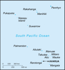
Cook Islands Tourist map
5503 miles away
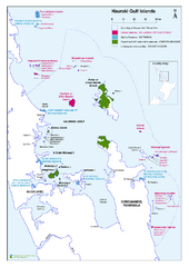
Hauraki Gulf Islands Nature Reserves Map
Shows nature reserves, marine reserves, and boundary of Hauraki Gulf Marine Park.
5515 miles away

Bathymetric Chart of Mississippi Gulfshore...
5958 miles away
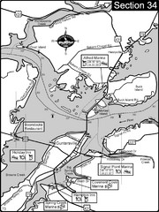
Guntersville, AL Tennessee River/Lake...
For boating navigational information and river road travel along the Tennessee River. This section...
6176 miles away
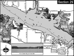
Decatur, AL Tennessee River/Wheeler Lake Map
For boating navigational information and river road travel along the Tennessee River. This section...
6207 miles away
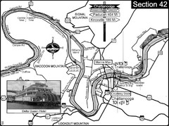
Chattanooga, TN Tennessee River Map
For boating navigational information and river road travel along the Tennessee River.
6208 miles away
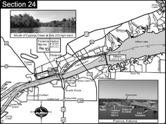
Florence, AL Tennessee River Map
For boating navigational information and river road travel along the Tennessee River. This map...
6226 miles away
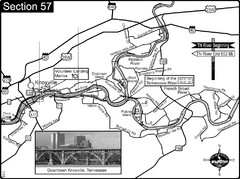
Knoxville, TN Tennessee River/Holston River...
This is the source of the Tennessee River at the confluence of the Holston River and French Broad...
6246 miles away
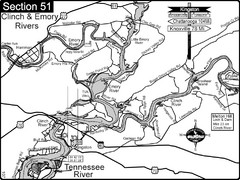
Kingston, TN Tennessee River/Clinch River/Emory...
Shows a bend on the Tennessee River at the confluence of the Clinch & Emory Rivers. For boat...
6250 miles away
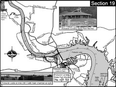
Pickwick Lake Tennessee River Map
For boating navigational information and river road travel along the Tennessee River. This map...
6254 miles away
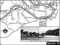
Clifton, TN Tennessee River Map
For boating navigational information and river road travel along the Tennessee River.
6274 miles away
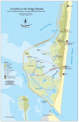
Island Beach State Park Canoe and Kayak map
Canoe and kayak guide to the Sedge islands in Island Beach State Park near Barnegat Bay, NJ. The...
6397 miles away
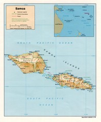
Samoa Islands Map
6402 miles away
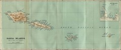
Samoa Islands 1889 Map
Historical map of Samoa islands from 1889
6402 miles away
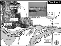
Grafton, IL Illinois River/Mississippi River/Pere...
This is the end of the Illinois River at the confluence with the Mississippi River. For boating...
6550 miles away

Wallis Islands Postcard Map
6584 miles away
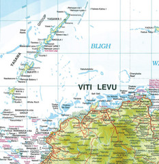
Yasawa Islands Map
Map showing the Yasawa Islands, a chain of 16 large volcanic islands located about 35km off the...
6587 miles away
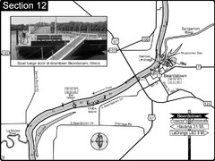
Beardstown, IL Illinois River Map
For boating navigation and river road travel.
6617 miles away
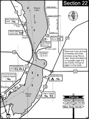
Peoria, IL Illinois River/Peoria Lake Map
For boating navigation and river road travel on the Illinois River.
6650 miles away
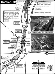
Joliet, IL Illinios river/Des Plaines River/I&...
For boating navigation and river road travel on the Illinois Waterway.
6678 miles away
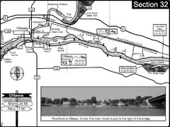
Ottawa, IL Illinois River/Fox River Map
For boating navigation and river road travel on the Illinois River. Shows confluence of the Fox...
6678 miles away
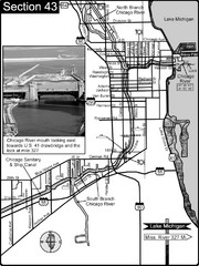
Chicago, IL Sanitary & Ship Canal/Chicago...
This is the beginning of the Illinois Waterway that connects Lake Michigan to the Mississippi River...
6696 miles away
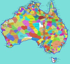
Australia Aboriginal Tribes Map
Shows original regions of aboriginal tribes in Australia.
7061 miles away
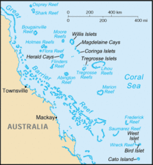
Coral Sea Islands Tourist Map
7318 miles away
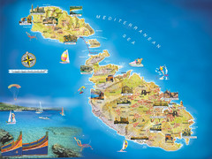
Malta Islands Tourist Map
7522 miles away
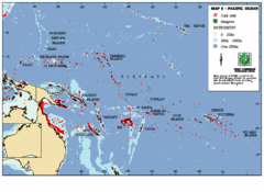
East Asian Pacific Ocean Map
Map of the Pacific Ocean surrounding East Asian Islands from the Solomon Islands to USA Hawaii.
7561 miles away
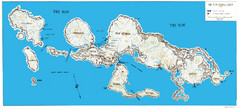
New Georgia Group War Map
Shows Allied landings 1943
7761 miles away
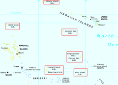
US Minor Outlying Islands Map
Shows all islands included in the United States Minor Outlying Islands designation.
7785 miles away
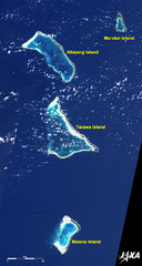
Kiribati Islands Map
Kiribati satellite image of Kiribati Islands of Tarawa Island, Abaiang Island, Marakei Island, and...
7840 miles away
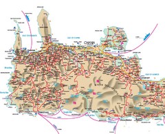
Iraklio Area Tourist Map
7843 miles away
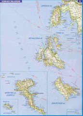
Ionian Islands Map
Overview map of the Greek Ionian Islands including Lefkada, Kefalonia, Zakynthos, Corfu, and Paxo...
7871 miles away
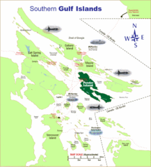
Southern Gulf Islands Map
Map of the region. Shows ferry routes.
7904 miles away

Badu Island and Moa Island Map
7978 miles away

