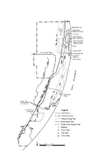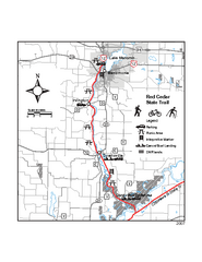
Red Cedar State Trail Map
Detailed trail map.
437 miles away
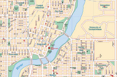
Saskatoon, Saskatchewan Tourist Map
439 miles away
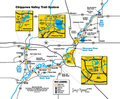
Chippewa Valley Trail System Map
Multiple trails and hiking routes in the Chippewa Valley.
440 miles away
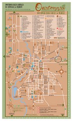
Owatonna Map
Visitor Map of Owatonna, Minnesota. Includes all streets, highways, restaurants, hotels, parks and...
442 miles away
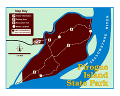
Pirogue Island State Park Map
Visitors find this isolated and undeveloped cottonwood-covered Yellowstone River island an...
461 miles away
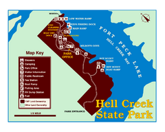
Hell Creek State Park Map
You’ll reach this campground park, 25 miles north of Jordan, through the spectacular scenery...
467 miles away
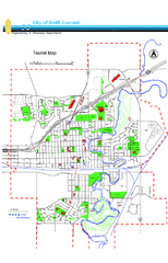
Swift Current Tourist Map
Tourist map of Swift Current, Saskatchewan. Shows all parks and walking paths.
469 miles away
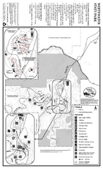
Whitewater State Park Map
map of park with detail of trails and recreation zones
470 miles away
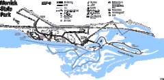
Merrick State Park Map
Beautiful hikes around the waterfront.
472 miles away
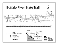
Buffalo River State Trail Map
Detailed map of excited hike through nature's finest.
472 miles away
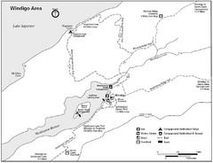
Windigo Area Guide Map
473 miles away
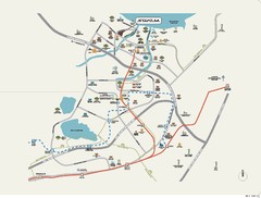
Stratum Condominium in Singapore Map
Stratum Condominium in Singapore offers great units and facilities to all their clients. With high...
477 miles away
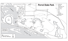
Perrot State Park Map
Have a wonderful vacation hiking through this natural setting.
488 miles away
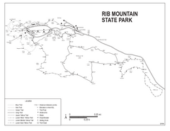
Rib Mountain State Park Map
Simple state park map with nice hiking trails.
492 miles away
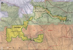
Badlands National Park Map
495 miles away
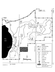
Pike Lake Map
Detailed trail map of area surrounding Pike Lake.
508 miles away
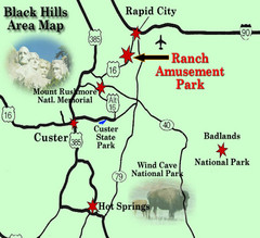
Black Hills Area Map
518 miles away
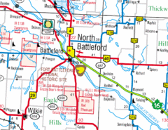
North Battleford, Saskatchewan Map
518 miles away
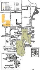
Buckhorn State Park Map
Hiking trails and fun locations marked on this map.
533 miles away
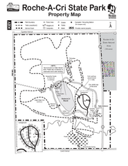
Roche A Cri State Park Map
Marked hiking trails for this State Park easily read on this map.
535 miles away
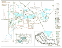
Hartman Creek State Park Map
538 miles away
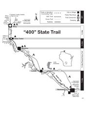
400 State Trail Map
Long and beautiful trail through Wisconsin's finest.
547 miles away
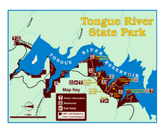
Tongue River Reservoir State Park Map
The 12-mile long reservoir is situated among scenic red shale, juniper canyons, and the open...
555 miles away
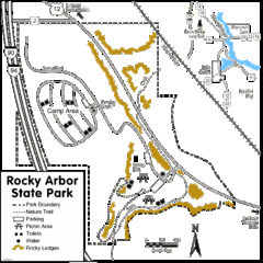
Rocky Arbor State Park Map
Detailed map of parking, water, ledges and boundaries for Rocky Arbor.
555 miles away
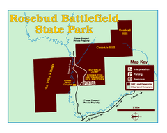
Rosebud Battlefield State Park Map
This National Historic Landmark on the rolling prairie of eastern Montana preserves the site of the...
557 miles away
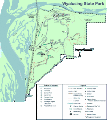
Wyalusing State Park Map
Detailed Park Map.
558 miles away
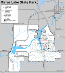
Mirror Lake State Park Map
Nice hiking routes around the lake.
560 miles away
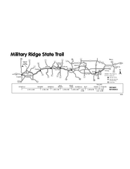
Military Ridge State Trail Map
Simple map marking trail route.
562 miles away
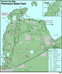
Peninsula State Park Map
Beautiful trails.
570 miles away
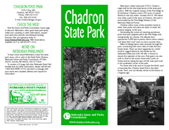
Chadron State Park Map
The majestic beauty of the Pine Ridge forms the backdrop for this great, get away from it all state...
570 miles away
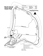
Rock Island State Park Map
Tour around this beautiful state park.
574 miles away
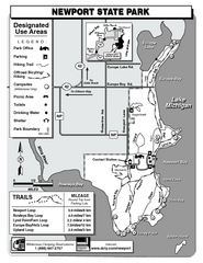
Newport State Park Map
Bicycling, hiking, park office, parking all marked on this detailed map.
575 miles away
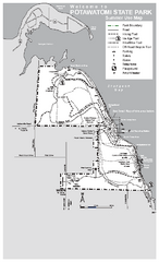
Potawatomi State Park Map
State Park map with marked trails and sites.
575 miles away
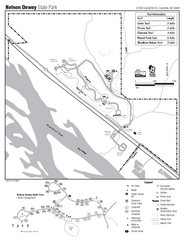
Nelson Dewey State Park Map
Easy trails for you to walk on your vacation.
575 miles away
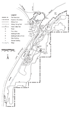
High Cliff Park Map
High quality map with easy to read trails and routes.
577 miles away
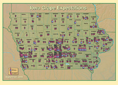
Iowa Grape Expectations Map
Shows concentration of vineyards and wineries across state of Iowa.
579 miles away
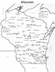
Wisconsin Airports Map
580 miles away
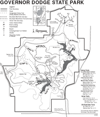
Governor Dodge State Park Map
Bike, Horse, trek, and recreational locations marked on this map.
582 miles away
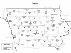
Iowa Airports Map
587 miles away

