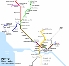
Porto Metro Ligeiro Map
Transit map of city's light rail system
1966 miles away
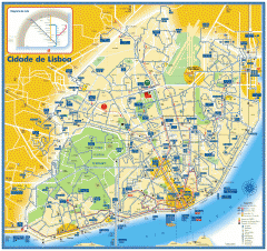
Lisbon Bus, Tram, and Metro Map
Bus and tram map of Lisbon, Portugal. Metro route insert. In Portuguese and English
2084 miles away
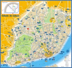
Lisboa Bus and Subway Map
2085 miles away
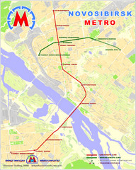
Novosibirsk Metro Map
The metro lines in Novosibirsk are marked on this detailed map.
2165 miles away
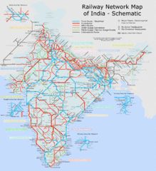
India Railway Schematic Map
India's main transportation system
3631 miles away
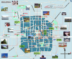
Beijing Tourist Map
Beijing City Tourist Map with photos of tourist attractions, roads,parks, bus stations and airports.
4012 miles away
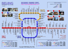
Beijing Subway Map
Subway map of Beijing, China. Shows estimated travel times.
4013 miles away
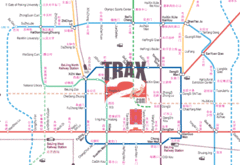
Latest Beijing Subway map
Latest up dates to the Beijing subways systems
4013 miles away
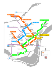
Montreal Metro Map
4413 miles away
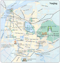
Nanjing China Tourist Map
Tourist Map of Nanjing, China showing roads, subway, hotels and pictures of tourist attractions.
4484 miles away
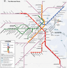
Boston Subway T Map
Massachusetts Bay Transportation Authority (MBTA) map of the Boston T subway system. Includes...
4485 miles away
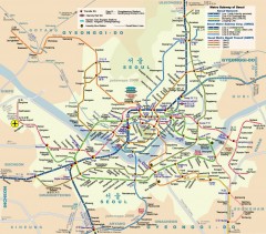
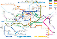
Seoul Metro Map
Unofficial metro map of Seoul, South Korea.
4538 miles away
Seoul Subway Map
4538 miles away
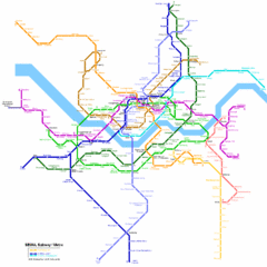
Seoul Subway Map
Subway map of Seoul, Korea.
4540 miles away
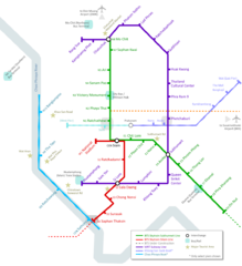
Bangkok Transportation Map
4617 miles away
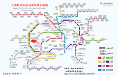
Shanghai Metro Map
Map of Shanghai metro lines and stops
4634 miles away
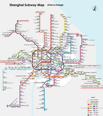
Shanghai Subway Map
4635 miles away
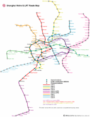
Shanghai Public Transportation Map
4635 miles away
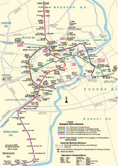
Shanghai Metro Map
Shanghai, China Map showing the Metro Network(subway) for Shanghai in English.
4635 miles away
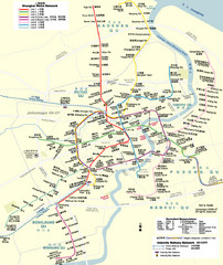
Shanghai Metro Map
Shows lines 1-9 of the Shanghai, China metro network. Unofficial map.
4635 miles away
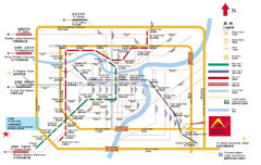
Shanghai City Map
Map of Shanghai, including transportation lines and street names
4635 miles away
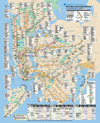
New York City MTA Subway Map
Official subway map for New York City
4666 miles away
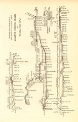
1904 New York City Subway Map
The New York City Subway Map in 1904
4667 miles away
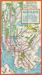
New York Subway Map, 1930
A New York City subway map from the 1930s
4668 miles away
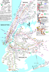
NYC Subway Map (unofficial)
Unofficial subway map of New York City. Created by SPUI.
4668 miles away
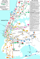
New York City Subway Map
Map of NYC subway transit system and stops
4669 miles away
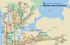
New York City Subway Map
Official MTA map of the NYC subway system... note not drawn to scale.
4670 miles away
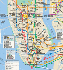
New York City Subway Map
4671 miles away
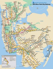
New York City Public Transportation Map
4671 miles away
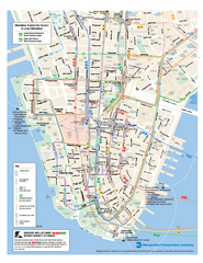
Lower Manhattan Public Transportation Map
Official MTA map of subway, bus, and ferry routes in Lower Manhattan.
4672 miles away
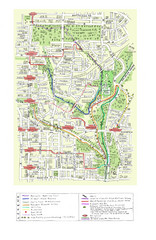
Toronto Brickworks Trail Map
Trail map of area around the Brickworks in Toronto, Canada
4697 miles away

Toronto Subway Map
Official RT/subway map of the Toronto Transit Commission.
4699 miles away
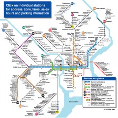
Philadelphia Rail System map
Official SEPTA map of the Philadelphia Rail System. Includes station addresses and fares, sales...
4751 miles away
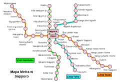
Sappora Subway Map
Clear map of Sappora's subway system.
4762 miles away
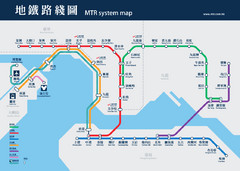
Hong Kong Subway Map
4768 miles away
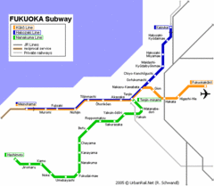
Fukuoka Subway Map
Map of subway transit throughout city
4869 miles away
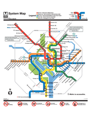
Official Washington DC Metro map
Official color PDF map from the Washington Metropolitan Area Transit Authority. The WMATA operates...
4871 miles away
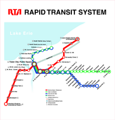
Cleveland Rapid Transit Map
4889 miles away
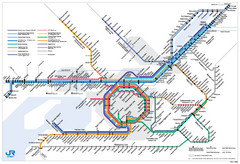
Kansai Regional Subway Map
5003 miles away
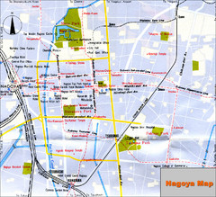
Nagoya Japan Map
Tourist Map of Nagoya Japan showing roads, tourist sites, and subway.
5030 miles away

