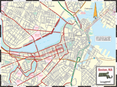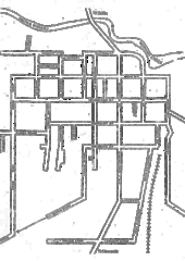
New Orleans French Quarter Map
Tourist street map of French Quarter in city of New Orleans, Louisiana
4135 miles away
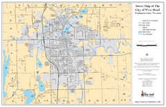
West Bend Street Map
Street map of city of West Bend, Wisconsin.
4165 miles away
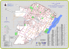
Ashwaubenon Street Map
4169 miles away
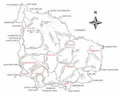
Norfolk Island Map
This map shows the entire Island including the various beaches and the town centre.
4190 miles away
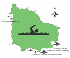
Norfolk Island Swim Zone Map
This helpful map shows safe and not safe swim areas on this amazing island.
4190 miles away
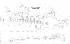
Dauphin Island Street Map
4248 miles away
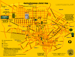
Quetzaltenango City Map
Large and detailed map.
4261 miles away
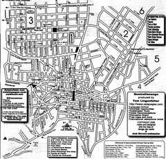
Quetzaltenango Street Map
Street map of Quetzaltenango, Guatemala
4261 miles away
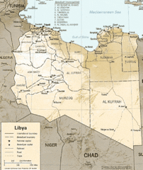
Lybia Map
Clear map and legend of this African Nation.
4284 miles away
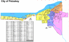
Petoskey Street Map
Street map of Petoskey, Michigan. Official city map.
4319 miles away
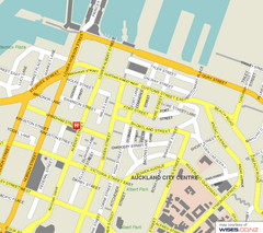
Auckland City Street Map
Street map of Auckland City Center
4411 miles away
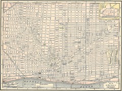
Map of the Main Portion of Detroit - 1895
Map of downtown Detroit, 1895. From Rand McNally's Atlas of the World, 1901, page 42
4428 miles away
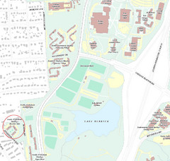
Brandon Town Map
Town of Brandon and University of Georgia Campus
4483 miles away
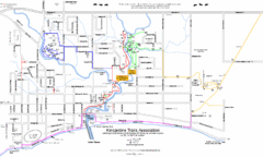
Kincardine Trail Map
Trail and street map of Kincardine, Ontario.
4488 miles away
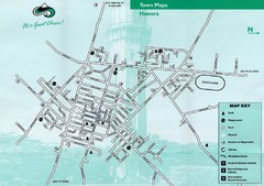
Hawera Town Map
4588 miles away
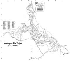
Mannington Street Map
Street map of Mannington, West Virginia. (aka Grantville)
4592 miles away
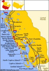
Bradenton Beach Map
Bradenton Beach and surrounding beach map.
4612 miles away
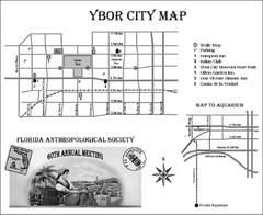
Ybor City Map
4613 miles away
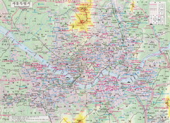
Seoul Tourist Map
Guide to Seoul, South Korea, in Korean
4649 miles away
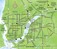
Cap Coral and Surrounding Area Map
Small, humble fishing community along the coast of Florida.
4664 miles away
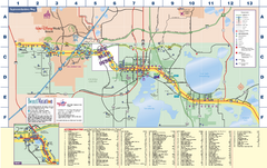
Travel Accommodations in Kissimmee, Florida Map
Map of accommodations in and around Kissimmee, Florida. Shows visitors centers, Disney World, and...
4670 miles away

Cairns Map
Clear map of streets and roads of this small city.
4714 miles away
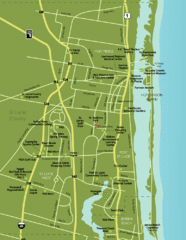
Port St. Lucie Map
Map of Port Saint Lucie.
4753 miles away
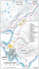
Narssaq City Map
Clearly marked city map and legend.
4785 miles away
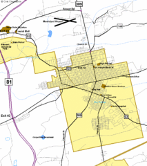
Hazelton Street Map
Clear and descriptive road map.
4804 miles away
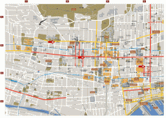
Montreal Downtown Map
Street map of downtown Montreal, Quebec. In French.
4864 miles away
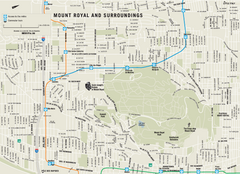
Mount Royal and Surroundings Map
4867 miles away
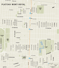
Plateau Mont Royal Map
4867 miles away
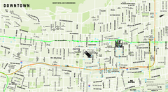
Downtown Montreal Map
Street map of central Montreal. Shows access to the metro and commuter train
4868 miles away
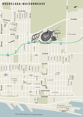
Hochelaga-Maisonneuve Map
4868 miles away
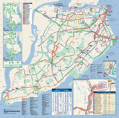
Staten Island Bus Map
Official Bus Map of Staten Island. Shows all routes.
4902 miles away

Lower Manhattan Area Map
4908 miles away
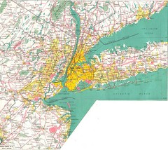
New York City Map
4909 miles away

City Island Street Map
Street map of City Island, New York
4917 miles away
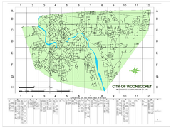
Woonsocket Street Map
Street map of Woonsocket, Rhode Island. Shows street legend.
5017 miles away
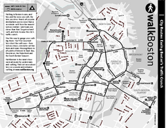
Walking Map of Boston, Massachusetts
Tourist map of Boston, Massachusetts, showing walking routes and times, as well as museums, squares...
5034 miles away
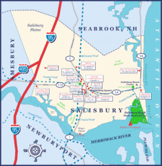
Salisbury Town Map
5037 miles away
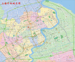
Shanghai Map
Detailed street map covers large area of Shanghai, China. In Cantonese.
5048 miles away

