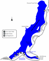
Deer Creek State Park Map
Deer Creek State Park lies in the southwest corner of beautiful Heber Valley and consistently...
744 miles away
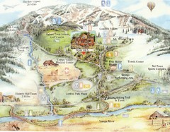
Steamboat Springs Map
A fun map marking points of interest and more.
809 miles away
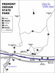
Fremont Indian State Park Map
Discover artifacts, petroglyphs, and pictographs left behind by the Fremont Indians. During...
867 miles away
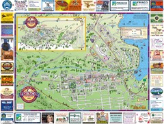
Frisco, CO Resort Map
Resort Maps of Summit County is the most widely distributed map in Frisco, Copper Mountain...
883 miles away
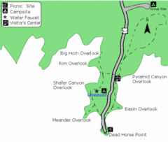
Dead Horse Point State Park Map
Stroll along the Rim Walk, towering 2,000 feet directly above the Colorado River. The mesa that is...
894 miles away
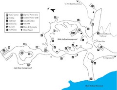
Escalante Petrified Forest State Park Map
Escalante Petrified Forest State Park is located in beautiful southern Utah, just 44 miles east of...
926 miles away
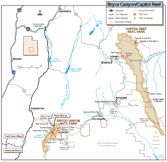
Bryce Canyon National Park Map
Roads, highways, rivers and points of interest are clearly marked on this simple map.
936 miles away
Waldo Canyon Fire Area Map
949 miles away
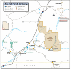
Zion National Park Highway Map
Highways, roads, cities and points of interest are marked on this clear map.
960 miles away
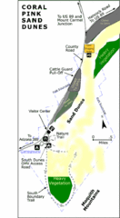
Coral Pink Sand Dunes State Park Map
Rippling arcs of rust-colored sand welcome you as you enter Coral Pink Sand Dunes State Park...
972 miles away
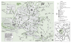
Briones Regional Park Trail Map
Trail map of Briones Regional Park in East Bay.
989 miles away
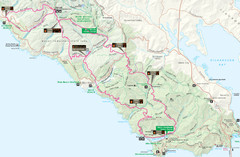
Headlands 50K Map (for 2011 race and future races)
Course For 2011 Headlands 50K
1002 miles away
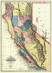
1851 California Regional Map
Great quality map of Californian regions in 1851.
1022 miles away
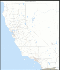
California Zip Code Map
Check out this Zip code map and every other state and county zip code map zipcodeguy.com.
1022 miles away
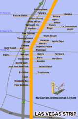
The LV Strip Map
This is a map of the Las Vegas Strip with the names of the hotels located around it.
1034 miles away
Amnicon Falls State Park Map
Marked trails, picnic sites, bridges, toilets, ect. make the hike around the beautiful Amnicon...
1051 miles away
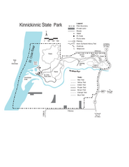
Kinnickinnic State Park Map
Map detailing hiking routes and stops along the way.
1073 miles away
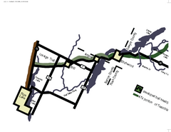
Tuscobia Map
Lakes and trails are easy to follow on this map.
1090 miles away
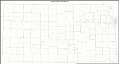
Kansas Zip Code Map
Check out this Zip code map and every other state and county zip code map zipcodeguy.com.
1125 miles away
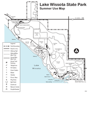
Lake Wissota State Park Map
Easy hiking along the beautiful water front.
1129 miles away
Iowa Zip Code Map
Check out this Zip code map and every other state and county zip code map zipcodeguy.com.
1178 miles away
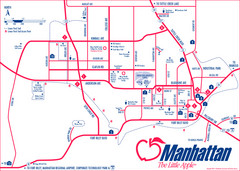
Manhattan (Kansas) City Map
City Map of Manhattan, Kansas including Kansas State University
1178 miles away
Arizona Zip Code Map
Check out this Zip code map and every other state and county zip code map zipcodeguy.com.
1186 miles away
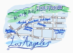
Los Angeles - hand drawn map
illustrated hand-drawn map produced for British airways - First Life magazine.
1196 miles away
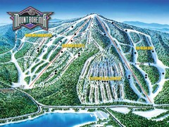
Mount Bohemia Frontside Ski Trail Map
Trail map from Mount Bohemia.
1198 miles away
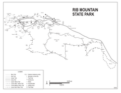
Rib Mountain State Park Map
Simple state park map with nice hiking trails.
1200 miles away
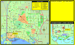
Bike Routes, Long Beach, California Map
Bicycle path map of Long Beach, California. Shows bike paths, bike centers, and public...
1212 miles away

University Of Phoenix Stadium Map
One of the most amazing stadiums, with the first fully retractable natural grass playing surface...
1216 miles away
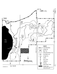
Pike Lake Map
Detailed trail map of area surrounding Pike Lake.
1218 miles away
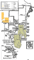
Buckhorn State Park Map
Hiking trails and fun locations marked on this map.
1221 miles away
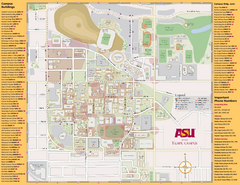
Arizona State University, Tempe Camous Map
Campus map of Arizona State University. Main campus, Tempe is shown. All Buildings are included.
1224 miles away
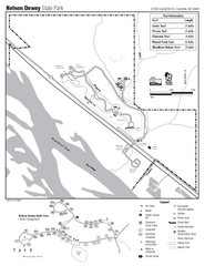
Nelson Dewey State Park Map
Easy trails for you to walk on your vacation.
1225 miles away
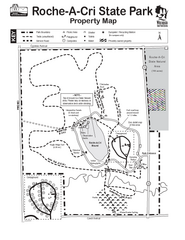
Roche A Cri State Park Map
Marked hiking trails for this State Park easily read on this map.
1227 miles away
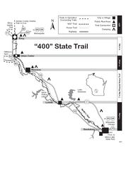
400 State Trail Map
Long and beautiful trail through Wisconsin's finest.
1227 miles away
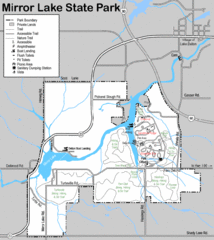
Mirror Lake State Park Map
Nice hiking routes around the lake.
1243 miles away
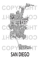
Urban Neighborhood Map: San Diego Map
This Urban Neighborhood Poster of San Diego is a modern twist on traditional maps. The typography...
1278 miles away

Urban Neighborhood Map: Madison Map
This Urban Neighborhood Poster of Madison is a modern twist on traditional maps. The typography...
1279 miles away
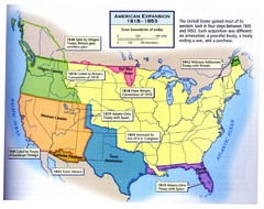
American Expansion 1818-1853 Map
Shows the four major steps through which the US gained most of it's western land between 1818...
1280 miles away

