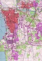
Burlington Vt 87 Map
Topographical map of the city of Burlington, Vt.
0 miles away
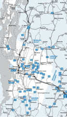
Chittenden County Map
9 miles away
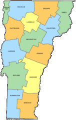
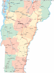
Vermont Counties Map
31 miles away
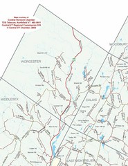
Worcester Town Map
Town map of Worcester, Vermont and surrounding areas
32 miles away
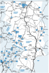
Caledonia County Map
56 miles away
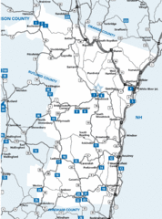
Windsor County Map
59 miles away
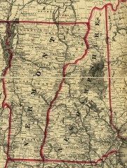
Map of New Hampshire and Vermont 1860
Map of New Hampshire and Vermont, 1860
71 miles away
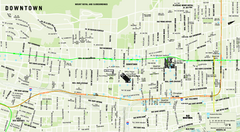
Downtown Montreal Map
Street map of central Montreal. Shows access to the metro and commuter train
73 miles away

Olympic Scenic Byway Map
Overview map showing the length of the Olympic Scenic Byway, which runs from Lake Ontario (Sackett...
73 miles away
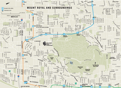
Mount Royal and Surroundings Map
74 miles away
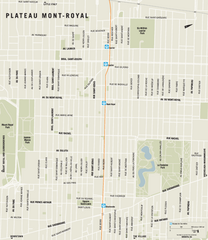
Plateau Mont Royal Map
75 miles away
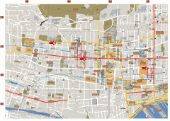
Montreal Downtown Map
Street map of downtown Montreal, Quebec. In French.
76 miles away
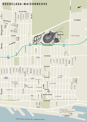
Hochelaga-Maisonneuve Map
77 miles away
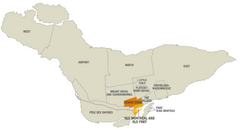
Montreal Neighborhood Map
77 miles away
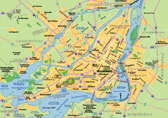
Montreal City Map
City map of Montreal with main roads
77 miles away
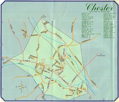
Chester Town Map
86 miles away
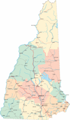
New Hampshire Road Map
Road map of New Hampshire
87 miles away
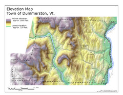
Elevation Map of Dummerston, Vermont
This Hypsometric map is a map that distinguishes elevations progression within a specific...
111 miles away
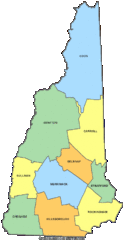
New Hampshire Counties Map
120 miles away
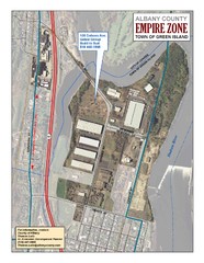
Green Island Map
Aerial town map of Green Island, New York on the Hudson River
122 miles away
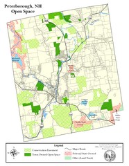
Peterborough Open Space Map
Map of open space lands in Peterborough, New Hampshire
127 miles away
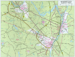
Albany, New York City Map
129 miles away
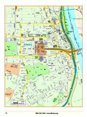
Albany downtown map
Road map of downtown Albany, NY. Shows city parks and New York State government buildings.
129 miles away
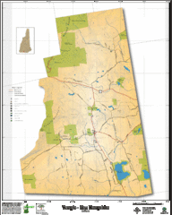
Temple NH Topo Map
Topographical map of Temple, NH area. Shows all roads and points of interest.
133 miles away
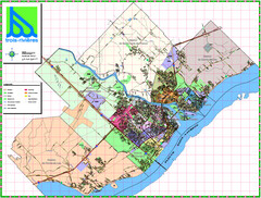
Trois Rivieres City Map
133 miles away
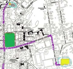
Manchester, New Hampshire City Map
134 miles away
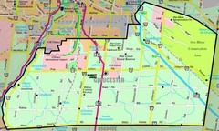
Gloucester Map
Street-map of Gloucester district
137 miles away
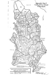
Frye Island Watershed Boundary Map
139 miles away
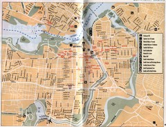
Ottawa Tourist Map
Tourist map of capital city of Ottawa, Canada. Shows tourist points of interest.
139 miles away
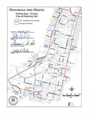
Pittsfield,, Massachusetts City Map
140 miles away
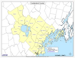
Cumberland County Map
Map showing all city divisions of Cumberland County, Maryland with specific location of the CPCOG.
153 miles away
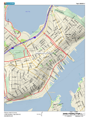
Portland, Maine City Map
156 miles away
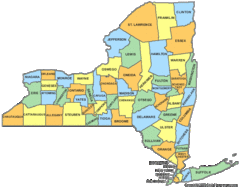
New York Counties Map
157 miles away
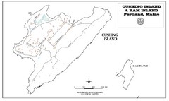
Cushing Island Map
Also shows Ram Island
159 miles away
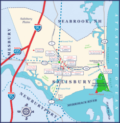
Salisbury Town Map
164 miles away
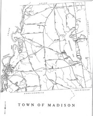
Madison Town Map
164 miles away
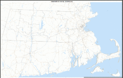
Massachusetts Zip Code Map
Check out this Zip code map and every other state and county zip code map zipcodeguy.com.
169 miles away
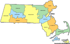
Massachusetts Counties Map
169 miles away

