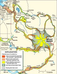
Mount Rainier Potential Lava Flow, Mud Flow and...
Hazard zones for lahars, lava flows, and pyroclastic flows from Mount Rainier. The map shows areas...
0 miles away
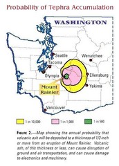
Mount Rainier Probability of Tephra (Ash...
less than 1 mile away
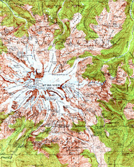
Mount Rainier Topographic Map
Guide to topography and glaciers of Mount Rainier
3 miles away
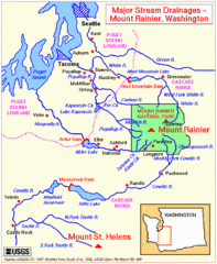
Mount Rainier Major Stream Drainages Map
15 miles away
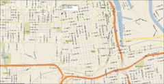
Tacoma, Washington City Map
43 miles away
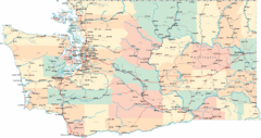
Washington Road Map
Road map of state of Washington
46 miles away
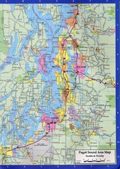
Seattle, Washington City Map
53 miles away
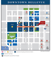
Downtown Bellevue Map
Driving Directions and Downtown Map
53 miles away
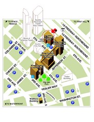
Municipal Court of Seattle Location Map
57 miles away
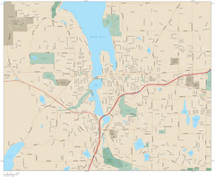
Olympia, Washington City Map
58 miles away
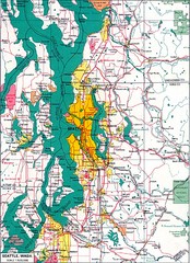
Seattle Region Map
59 miles away
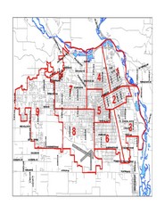
Yakima, Washington City Map
60 miles away

3-D Panoramic Map of the Puget Sound
A 3D panoramic map of a view from a private residence over Puget Sound toward the Olympic mountains.
67 miles away
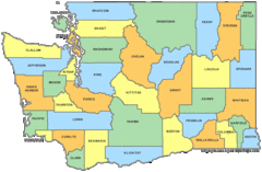
Washington State Counties Map
74 miles away
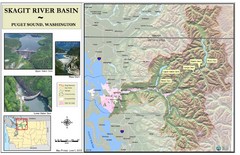
Skagit River Map
Skagit River Basin Overview Map (Pink shading is the FEMA 100 Year Flood)
99 miles away
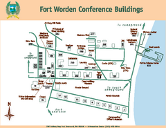
Fort Worden Conference Buildings Map
Map of conference buildings in Fort Worden State Park
99 miles away
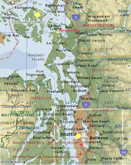
Washington State - West Coast Map
Washington State - West Coast Map
102 miles away
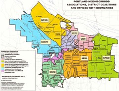
Portland Neighborhood Map
Shows neighborhood associations of Portland, Oregon.
106 miles away
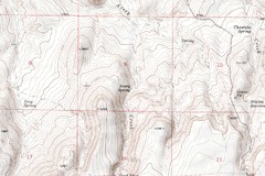
Astoria Oregon Map
A detailed topographic map of Astoria, Oregon and the Columbia River.
113 miles away
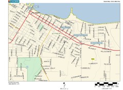
Port Angeles City Map
118 miles away
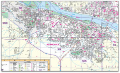
Kennewick, Washington City Map
129 miles away
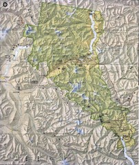
North Cascades National Park Physical Map
National Park
130 miles away
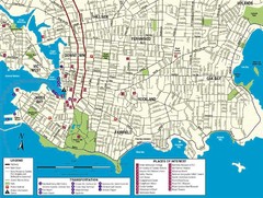
Downtown Victoria Map
130 miles away
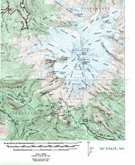
Mt. Baker Topo Map
Topo map of Mt. Baker, Washington, elevation 10,778ft.
130 miles away
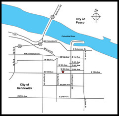
City of Kennewick Map
Simple road map of Kennewick.
131 miles away
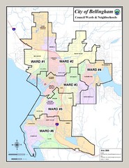
Bellingham Ward Map
Guide to wards in Bellingham, WA
134 miles away
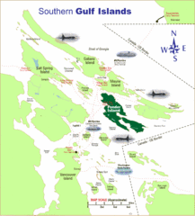
Southern Gulf Islands Map
Map of the region. Shows ferry routes.
150 miles away
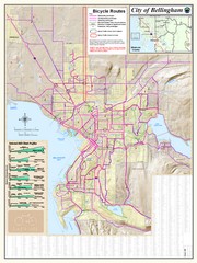
Bellingham, Washington City Map
151 miles away
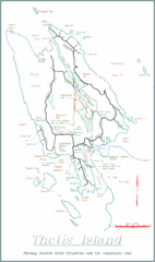
Thetis Island Map
Thetis Island map showing roads, properties, and the community trail.
172 miles away
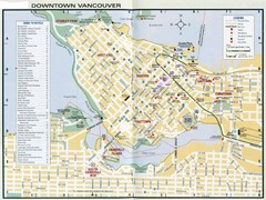
Vancouver Map
176 miles away
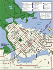
Vancouver Map
Street map of Vancouver
177 miles away
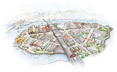
Granville Island Map
177 miles away
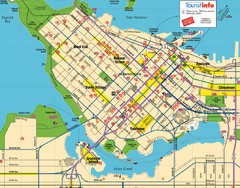
Vancouver Downtown Map
Detailed street map of Downtown Vancouver
178 miles away
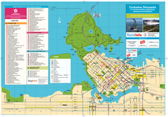
Map of Greater Vancouver
Tourism Vancouver's official map of Greater Vancouver. Shows accomodations, attractions...
178 miles away
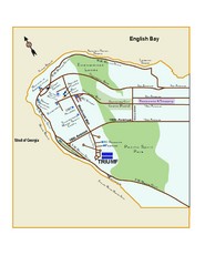
Downtown Vancouver Map
178 miles away

Bowen Island 3D Aerial Map
3d aerial map of Bowen Island, BC
188 miles away
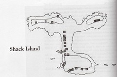
Shack Island Map
Illustration taken from the book "Shack Island" by Ruth English Matson. 2004.
192 miles away
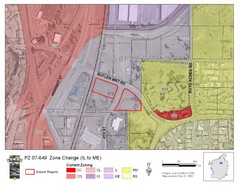
Bend, Oregon Zoning Map
Map of the zoning area changes in Bend, Oregon. Includes color-coded zoning areas.
197 miles away

