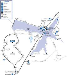
James H. Floyd State Park Map
Map of park with detail of trails and recreation zones
0 miles away
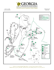
Cloudland Canyon State Park Map
Map of park with detail of trails and recreation zones
29 miles away
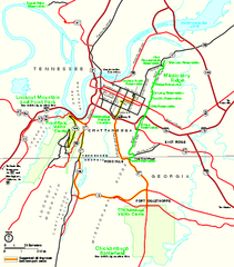
Chickamauga & Chattanooga National Military...
Official NPS map of Chickamauga & Chattanooga National Military Park in Georgia. All units of...
33 miles away
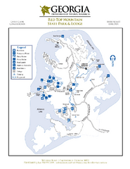
Red Top Mountain State Park Map
Map of park with detail of trails and recreation zones
42 miles away
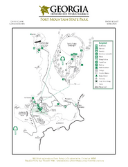
Fort Mountain State Park Map
Map of park with detail of trails and recreation zones
43 miles away
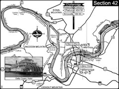
Chattanooga, TN Tennessee River Map
For boating navigational information and river road travel along the Tennessee River.
43 miles away
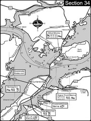
Guntersville, AL Tennessee River/Lake...
For boating navigational information and river road travel along the Tennessee River. This section...
53 miles away
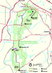
Kennesaw Mountain National Battlefield Park...
Official NPS map of Kennesaw Mountain National Battlefield Park in Georgia. We are a day use only...
54 miles away
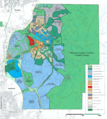
Mcclellan Land Use Map
"When the last note of taps played and the garrison flag was lowered at Fort McClellan in...
57 miles away
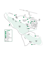
John Tanner State Park Map
Map of park with detail of trails and recreation zones
59 miles away
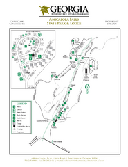
Amicalola Falls State Park Map
Map of park with detail of trails and recreation zones
63 miles away

Six Flags Over Georgia Theme Park Map
Official Park map of Six Flags Over Georgia in Atlanta.
65 miles away
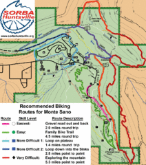
Monte Sano State Park Bike Routes Map
Recommended Biking Routes for Monte Santo with Easy to difficult routes marked.
70 miles away
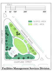
Hurt Park Map
72 miles away
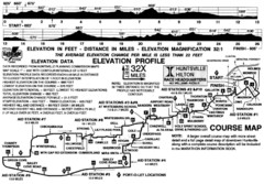
Rocket City Marathon Elevation Map
Course Map and Elevation Profile of the Rocket City Marathon in Huntsville, AL
75 miles away
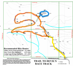
Wade Mountain Map
Recommended Bike Routes for Wade Mountain including the trail to Devil's Race Track
77 miles away
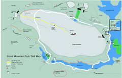
Stone Mountain Park Trail map
Trail map of Stone Mountain Park near Atlanta, GA
81 miles away
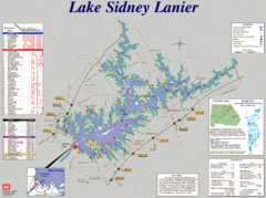
Lake Sidney Lanier Recreation Map
Recreation map of Lake Sidney Lanier in Georgia. Shows campgrounds, day use parks, marinas, and...
81 miles away

Panola Mountain State Park Map
Map of park with detail of trails and recreation zones
87 miles away
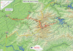
Cherohala Map
Map of Cherohala Skyway. Includes Visitor Information, roads, camping areas, and trails.
90 miles away
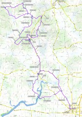
Salem Backroads Century Course Map
Route map for Salem Backroads Century bike race.
96 miles away
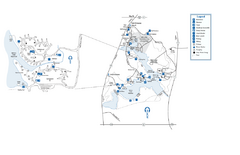
Fort Yargo State Park map
Detailed recreation and camping map for Fort Yargo State Park in Georgia
98 miles away
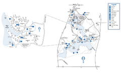
Fort Yargo State Park Map
Map of park with detail of trails and recreation zones
98 miles away
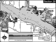
Decatur, AL Tennessee River/Wheeler Lake Map
For boating navigational information and river road travel along the Tennessee River. This section...
100 miles away
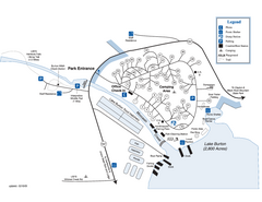
Moccasin Creek State Park Map
Map of park with detail of trails and recreation zones
104 miles away
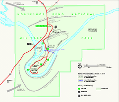
Horseshoe Bend National Military Park Official Map
Official NPS map of Horseshoe Bend National Military Park in Alabama. Horseshoe Bend National...
104 miles away
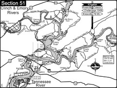
Kingston, TN Tennessee River/Clinch River/Emory...
Shows a bend on the Tennessee River at the confluence of the Clinch & Emory Rivers. For boat...
112 miles away
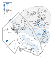
Hard Labor Creek State Park Map
Map of park with detail of trails and recreation zones
114 miles away
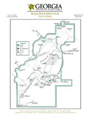
Black Rock Mountain State Park Map
Map of park with detail of trails and recreation zones
114 miles away
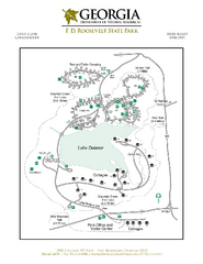
F.D. Roosevelt State Park Map
Map of park with detail of trails and recreation zones
115 miles away
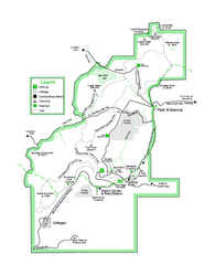
Black Rock State Park map
Detailed recreation map for Black Rock State Park in Georgia
115 miles away
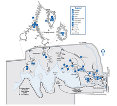
Indian Springs State Park Map
Map of park with detail of trails and recreation zones
116 miles away
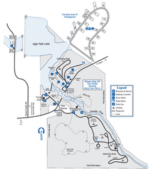
High Falls State Park Map
Map of park with detail of trails and recreation zones
116 miles away
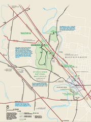
Stones River National Battlefield Official Map
Official NPS map of Stones River National Battlefield in Virginia. 8 AM to 5 PM Daily Pedestrians...
117 miles away
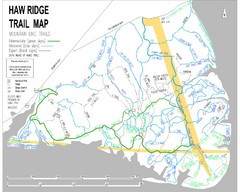
Haw Ridge Trail Map
127 miles away
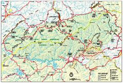
Great Smoky Mountains National Park - Park map
Official park map of Great Smoky Mountains National park. Shows location of all park roads...
128 miles away
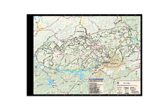
Great Smoky Mountains National Park - Trail map
Official trail map of Great Smoky Mountains National park. Shows all trails, park roads, visitor...
128 miles away
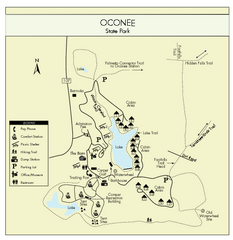
Oconee State Park Map
Beautiful state park clearly mapped with legend.
130 miles away
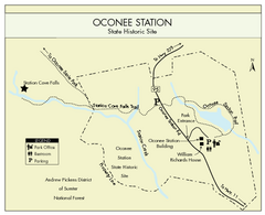
Oconee Station Map
Clear and simple map of Oconee State Park's station.
132 miles away
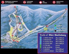
Ober Gatlinburg Ski Resort Ski Trail Map
Trail map from Ober Gatlinburg Ski Resort.
133 miles away

