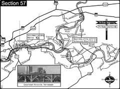
Knoxville, TN Tennessee River/Holston River...
This is the source of the Tennessee River at the confluence of the Holston River and French Broad...
135 miles away
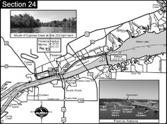
Florence, AL Tennessee River Map
For boating navigational information and river road travel along the Tennessee River. This map...
135 miles away
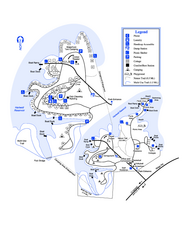
Hart State Park Map
Map of park with detail of trails and recreation zones
139 miles away
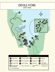
Devils Fork State Park Map
Clearly marked state park map.
141 miles away
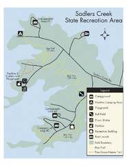
Sadlers Creek State Park Map
This simple map gives you an easy to follow layout of this amazing state park.
144 miles away
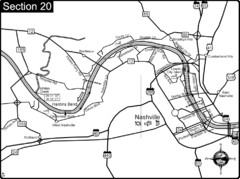
Nashville, TN-Cumberland River Map
The Cumberland River is an important waterway to the city of Nashville. Nashville is also a great...
145 miles away
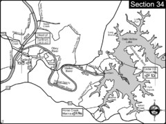
Celina, TN Dale Hollow Lake-Cumberland River Map
Celina Tennessee is the location for the head of navigation for the Cumberland River at the fork of...
146 miles away
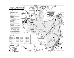
Gorges State Park map
Detailed recreation map for Gorges State Park in North Carolina
146 miles away
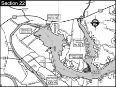
Old Hickory Lake-Cumberland River Map
Section 22 from the Cumberland River Guidebook shows the dam that forms Old Hickory Lake near...
147 miles away
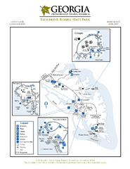
Richard B. Russell State Park Map
Map of park with detail of trails and recreation zones
149 miles away

Cataloochee Ski Area Ski Trail Map
Trail map from Cataloochee Ski Area.
149 miles away
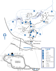
A. H. Stephens Historic Park Map
Map of park with detail of trails and recreation zones
153 miles away
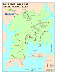
Dale Hollow Lake State Park Map
Map of trails and facilities of Dale Hollow Lake State Park.
153 miles away
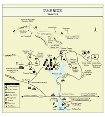
Table Rock State Park MAP
Clear and simple state park map and legend.
156 miles away
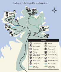
Calhoun Falls State Park Map
Clear map and detailed legend help make this map easy to read and follow.
158 miles away
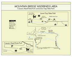
Mountain Bridge Wilderness Area Map
Map and legend marking bathrooms, picnic sites, trails and more.
160 miles away
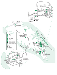
Bobby Brown State Park Map
Map of park with detail of trails and recreation zones
161 miles away
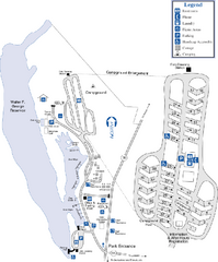
Florence Marina State Park Map
Map of park with detail of trails and recreation zones
163 miles away
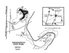
Tishomingo State Park, Mississippi Map
This map unfortunately does not adequately represent this park which is in one of the few areas of...
165 miles away
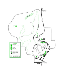
Providence Canyon State Park Map
Map of park with detail of trails and recreation zones
166 miles away
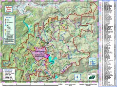
DuPont State Forest Trail map
Trail map of DuPont State Forest. Shows all trails with mileages. From dupontforest.com: "...
166 miles away
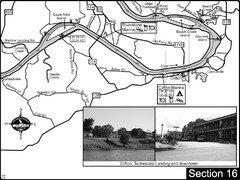
Clifton, TN Tennessee River Map
For boating navigational information and river road travel along the Tennessee River.
167 miles away
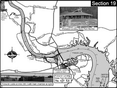
Pickwick Lake Tennessee River Map
For boating navigational information and river road travel along the Tennessee River. This map...
168 miles away
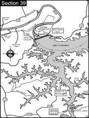
Lake Cumberland-Cumberland River Map
Lake Cumberland is formed by a dam on the Cumberland River in Section 39 of the Cumberland River...
169 miles away
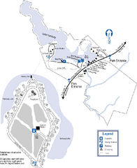
Hamburg State Park Map
Map of park with detail of trails and recreation zones
170 miles away
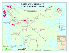
Lake Cumberland State Resort Park Map
Map of trails and facilities for Lake Cumberland State Resort Park.
171 miles away
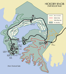
Hickory Knob State Park Map
Detailed map of this beautiful state park.
172 miles away
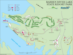
Barren River Lake State Resort Park Map
Map of facilities and golf course in Barren River Lake State Resort Park.
172 miles away
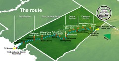
Alabama Scenic River Trail Map
631 miles of riverway. Starts in northeastern Alabama's mountains, flows through 9 lakes and...
172 miles away
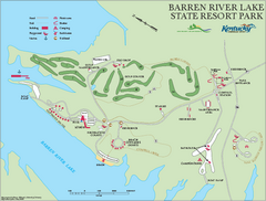
Barren River State Park map
Recreation map for Barren River Lake State Park in Kentucky
172 miles away
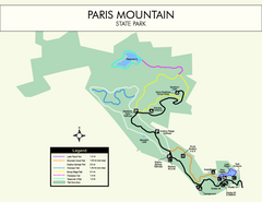
Paris Mountain State Park Map
Clearly labeled map of this beautiful state park.
173 miles away
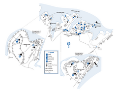
Elijah Clark State Park Map
Map of park with detail of trails and recreation zones
173 miles away
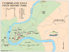
Cumberland Falls State Resort Park map
Detailed recreation map for Cumberland Falls State Resort Park in Kentucky
175 miles away
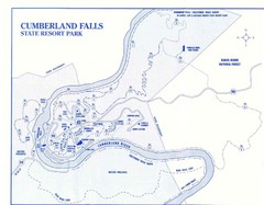
Cumberland Falls State Resort Park Map
Cumberland Falls Park Area Map
175 miles away
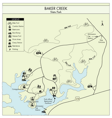
Baker Creek State Park Map
Beautiful park with wonderful views and plenty of wild life.
176 miles away
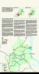
Shiloh National Military Park Official Park Map
Official NPS map of Shiloh National Military Park in Tennessee. The park is open every day except...
177 miles away
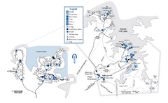
Mistletoe State Park Map
Map of park with detail of trails and recreation zones
179 miles away
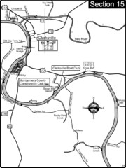
Clarksville, TN-Cumberland River Map
Cumberland River flows past Clarksville that has a great riverfront and services for traveling...
181 miles away
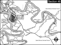
Burnside, KY-Cumberland River Map
Burnside, Kentucky is located at the fork of the Cumberland River and the South Fork. This is...
181 miles away
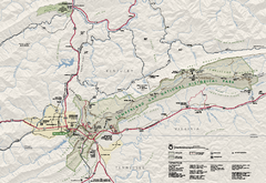
Cumberland Gap National Historical Park Official...
Official NPS map of Cumberland Gap National Historical Park in Virginia-Tennessee-Kentucky. Map...
181 miles away

