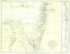
Israel and Sinai Map
The Holy Land -- Peninsula of Sinai -- Lower Egypt
0 miles away
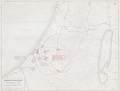
First Battle of Gaza Map 1917
WWI Palestine Front 3/26/1917
98 miles away
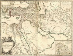
Ancient Empire of Alexander Map
Ancient Empire of Alexander the Great. Map by Didier Robert de Vaugondy, 1753, Yale University...
102 miles away
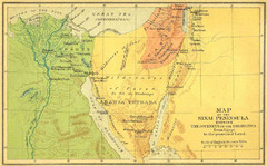
Sinai Peninsula Map - Journey of Israelites from...
Map of Sinai Peninsula showing the journeys of Israelites from Egypt to Promised Land.
109 miles away
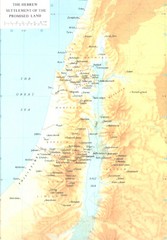
Promised Land Hebrew Settlement Map
Shows division of promised land to twelve tribes of Israel
116 miles away
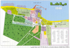
Detailed Map Of Jaffa Before Nakba
Map of Jaffa district and neighboring villages. Note: Map is not in English
132 miles away
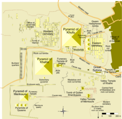
Giza Pyramid Complex Map
Map of the Great Pyramid of Giza area near Cairo, Egypt
137 miles away
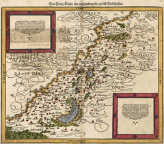
Munster’s Map of the Holy Land (1588)
Sebastian Munster's map of the Abrahamic Holy Land in 1588.
152 miles away
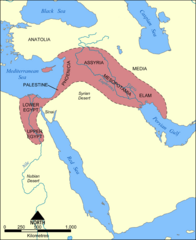
Fertile Crescent Map
Shows the Fertile Crescent of ancient times. Comprises parts of modern day Egypt, Israel, Lebanon...
249 miles away
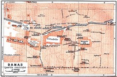
Damascus 1912 Map
Damascus Map from 1912 showing tourist attractions and roads
255 miles away
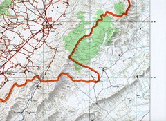
Baalbeck, Leabanon Map
Map showing details of the Baalbeck Distortion 2008
272 miles away
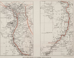
1897 Cook's Nile Map
Map of Steamer and Dahabeah service on the Nile
337 miles away
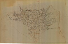
Draft Elevation Map Nile Delta
Draft Elevation Map Nile Delta with contour lines
340 miles away
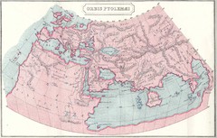
Ptolemy World Map
Map of the World according to Ptolemy
361 miles away
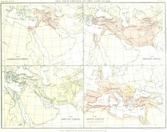
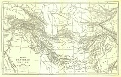
Babylon Persian Greek Roman Empires Map
Shows four ancient empires on the same scale: Babylonian Empire, Persian Empire, Grecian Empire...
382 miles away

Ancient Egypt Map
421 miles away
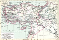
Asia Minor map
Roman era Asia Minor and surrounding areas
445 miles away
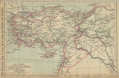
Asia Minor Under the Greeks and Romans Reference...
Guide to Asia Minor under Greek and Roman control
464 miles away
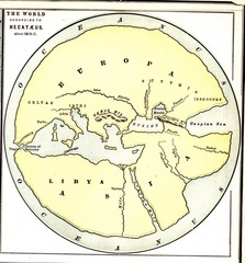
Hecataeus World Map
Map showing Hecataeus' World view
475 miles away
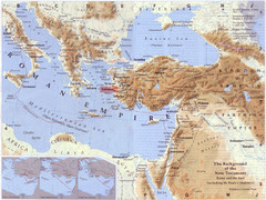
Roman Empire Historical Map
515 miles away
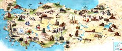
Turkey Tourist Map
Overview map of Turkey with drawings for major tourist attractions and structures.
539 miles away
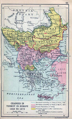
Balkan Peninsula Historical Map
Border changes around Turkey in Europe from 1856 to 1878.
539 miles away
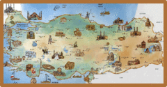
Cartoonish map of Turkey
539 miles away
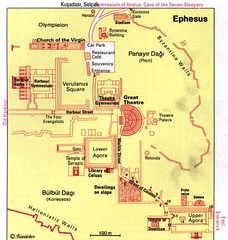
Ephesus, Turkey Map
Great simplistic map for a walking tour of the ancient city of Ephesus in Turkey.
539 miles away
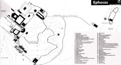
Map of Ancient Ephesos (Ephesus)
Guide to ancient Greek city, now in Turkey
540 miles away
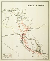
Iraq Railways Map
Historical map of Iraqi railways in 1930
655 miles away
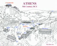
Ancient Athens Map
Map of Athens from 5th Century BCE.
679 miles away
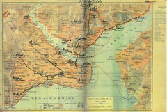
1941 Istanbul Map
691 miles away
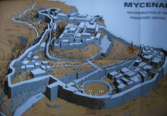
Ancient Mycenae Map
Map of Prehistoric reconstruction of edifices in Mycenae Corfu - green island of Greece
710 miles away
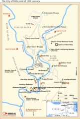
19th Century Bitlis Map
Historical map of Bitlis at the conclusion of the 19th century
719 miles away
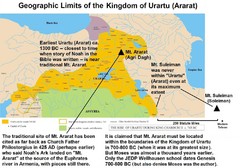
Urartu And Mount Ararat Map
Urartu Map showing Mt. Suleiman is not near Urartu.
731 miles away
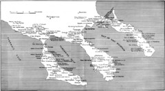
Monastic estates in Chalcidice in 15th and 16...
Monastic estates in Chalcidice pertaining to Mount Athos from History of Macedonia 1354-1833.
787 miles away
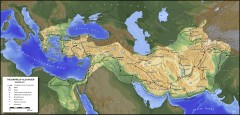
Empire of Alexander Map 334-323 BC
Shows extent of the Macedonian Empire under Alexander the Great 334-323 B.C. Shows conquest course...
849 miles away
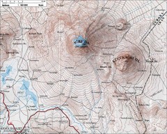
Mt. Ararat Topo Map
871 miles away
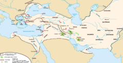
Achaemenid Empire Guide Map
874 miles away
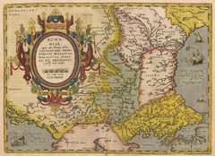
1612 - Abraham Ortelius Map
ROMA:|NIAE, | "(quæ olim Thracia dicta)" | VICINORVMQ[UE] REGIO:|NVM, VTI BVLGARIAE...
899 miles away
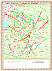
Eastern Armenia Map
Ethnic Migrations in the Eastern Armenia in XVII-XVIII centures AD
913 miles away

