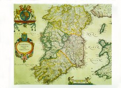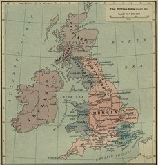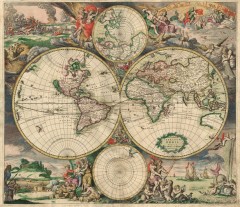
Old World map, 1689
Old World map, 1689, detail drawing.
0 miles away
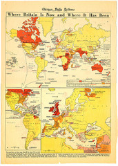
British Empire History Map
Guide to the rise and fall of the British Empire
0 miles away
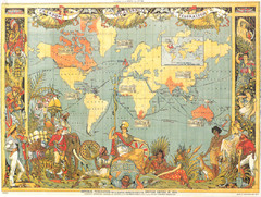
1886 British Empire Map
Guide to the British Empire as of 1886, beautiful illustrated map
0 miles away
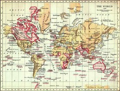
1897 British Empire Map
Guide to the British Empire and holdings as of 1897
0 miles away
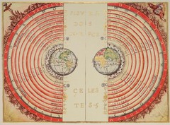
Ptolemaic Universe Map
When the Universe revolved around the Earth
0 miles away
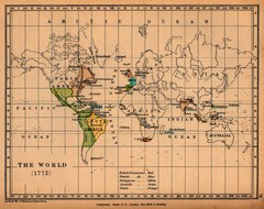
Colonial World Map 1772
Historical world map of European colonization (1772)
0 miles away
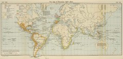
Age of Discovery World Map
Age of discover (1340-1600) historical map
0 miles away
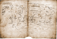
15th Century Vinland Map
Based on 13th century original, the controversial Vinland Map is possibly the first depiction of...
514 miles away
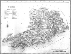
Cork County Map
Map of County Cork from 1800
1066 miles away
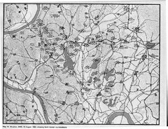
North Korean Counterattacks of the Korean War Map
A map of the study of U.S. counterattack theory as it existed during the defense of the Pusan...
1081 miles away
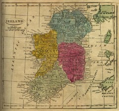
1808 Ireland Historical Map
1133 miles away
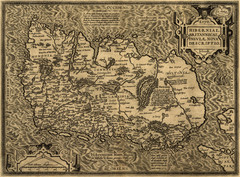
Ortelius’ Map of Ireland (1598)
Abraham Ortelius' map of Ireland in 1598.
1166 miles away
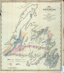
Newfoundland Geologic Map 1842
1186 miles away
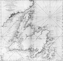
James Cook's Newfoundland Map
Famous map of Newfoundland created by James Cook. More info from site: "Cook's surveying...
1191 miles away
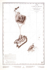
St. Pierre and Miquelon Map
1202 miles away
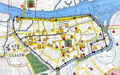
Dublin Medieval Map
Map of Dublin's medieval city superimposed on a modern OS map. (From H.B. Clarke, 'Dublin...
1210 miles away
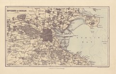
Dublin Environs Map
This is a map of Dublin surrounding areas - historical map.
1210 miles away

1608 Dublin Historical Map
1210 miles away
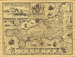
Old Maps: Cornwall Map
Map of Cornwall from The Theatre and Empire of Great Britain
1237 miles away
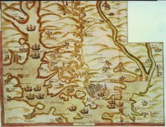
Plymouth Map 1500s
Map of Plymouth, England area in late 1500s
1267 miles away
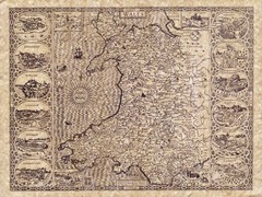
Old Maps - Wales Map
Includes illustrations of individual Welsh county towns.
1272 miles away
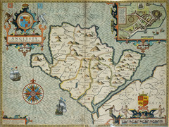
Anglesey Map
1287 miles away
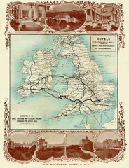
Historic United Kingdom Railroad Map
Guide to the connections of the Great Southern and Western Railways in the British Isles
1323 miles away
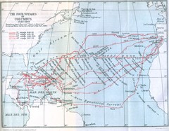
Columbus Voyages Map
Shows the four voyages of Columbus 1492-1503. Based upon the map in Bourne's Spain in America...
1337 miles away
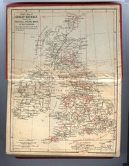
1910 Great Britain Map
1342 miles away
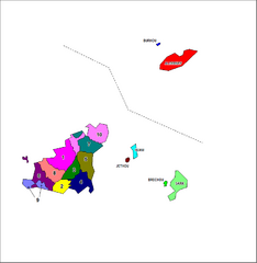
Guernsey Parish Map
Guide to the parishes of Guernsey, a British Crown Dependency in the English Channel
1343 miles away
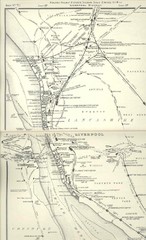
Liverpool Railway Map
Guide to historic rail lines around Liverpool
1344 miles away
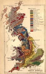
Great Britain Geological Map
Geological Map of Great Britain
1358 miles away
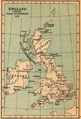
878 England Map
Guide to England after the Peace of Wedmore
1360 miles away
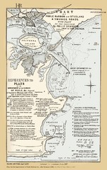
1857 Poole Harbor Map
Guide to the peninsula and improvements in the Harbor
1363 miles away
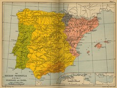
The Iberian Peninsula Historical Map
1369 miles away
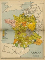
France Under Louis XI Historical Map
1369 miles away
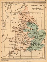
1644 England and Wales Political Map
Map showing districts held by teh King versus the Parliament during the Puritan Revolution
1370 miles away
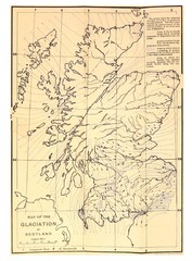
Scotland Glaciation Map
Guide to glacial movement that formed Scotland
1372 miles away
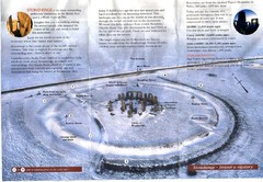
Stonehenge Brochure Map
Scan of official brochure of Stonehenge.
1372 miles away
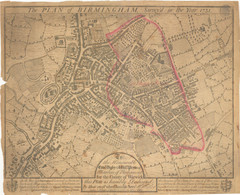
1731 Birmingham Map
Guide to historic Birmingham, UK
1378 miles away
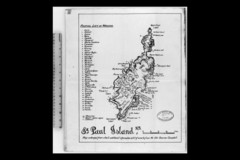
St Paul Island Wreck Map
Shipwreck map of St. Paul Island, Nova Scotia
1380 miles away
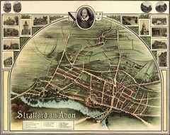
1902 Stratford-upon-Avon Map
Map of William Shakespeare's birthplace
1384 miles away

