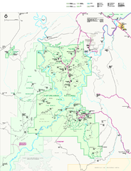
Canyonlands National Park Official Park Map
Official NPS map of Canyonlands National Park. Located in Utah. Map shows all areas but does not...
0 miles away
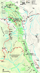
Capitol Reef National Park Official Map
Official NPS map of Capitol Reef National Park in Utah. Map shows all areas. The park and...
72 miles away
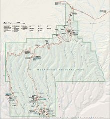
Mesa Verde National Park Official Park Map
Official NPS map of Mesa Verde National Park in Colorado. Mesa Verde National Park is open year...
101 miles away
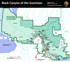
Black Canyon of the Gunnison National Park Map
Official NPS map of Black Canyon of the Gunnison in Colorado. Shows all areas including the South...
123 miles away
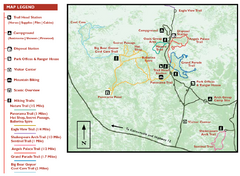
Kodachrome Basin State Park Map
Trail map of Kodachrome Basin State Park, Utah. Shows hiking trails and park facilities.
125 miles away

Bryce Canyon Official Park Map
Official NPS map of Bryce Canyon National Park in Utah. Map shows all areas. The park is open 24...
131 miles away
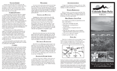
Vega State Park Map
Map of park with detail of recreation zones and campgrounds
134 miles away
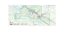
Chaco Culture National Historical Park Official...
Official NPS map of Chaco Culture National Historical Park in New Mexico. The park is open...
180 miles away
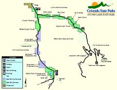
Sylvan Lake State Park Map
Map of park with detail of recreation zones and campgrounds
192 miles away
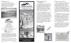
Yampa River State Park Map
Map of park with detail of recreation zones
209 miles away
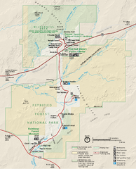
Petrified Forest National Park Official Park Map
Official NPS map of Petrified Forest National Park in Arizona. Open year round except Christmas...
212 miles away
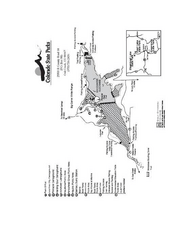
Stagecoach State Park Map
Map of park with detail of campgrounds and recreation zones
217 miles away
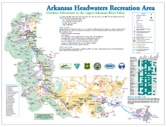
Arkansas Headwaters Recreation Area map
Detailed map for Arkansas Headwaters Recreation Area in Colorado
224 miles away
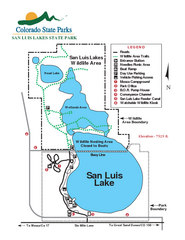
San Luis State Park Map
Map of park with detail of recreation zones
228 miles away
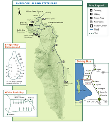
Antelope Island State Park Map
Trail map of Antelope Island State Park in the Great Salt Lake, Utah. Shows campgrounds.
229 miles away
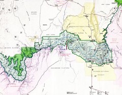
Grand Canyon Map
Guide to the Grand Canyon National Park
230 miles away
Steamboat Lake State Park Map
Map of park with detail of recreation zones
239 miles away
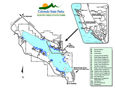
Eleven Mile State Park Map
Map of park with detail of campground zones
241 miles away
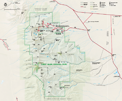
Great Basin National Park Map
Official NPS park map of Great Basin National Park. Shows all roads, trails, and facilities...
246 miles away
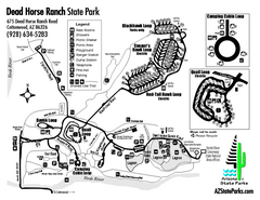
Dead Horse Ranch State Park Map
Map of park with detail of trails and recreation zones
265 miles away
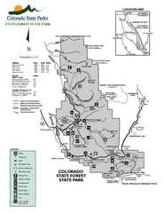
State Forest State Park Map
Map of park with detail of trails and recreation zones
265 miles away
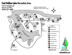
Fool Hollow Lake Recreation Area Map
Map of recreation area with detail of trails and recreation zones
270 miles away
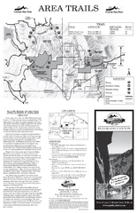
Eldorado Canyon State Park Map
Map of park with detail of trails and recreation zones
275 miles away
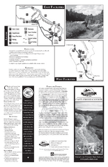
Castlewood Canyon State Park Map
Map of park with detail of trails and recreation zones
287 miles away
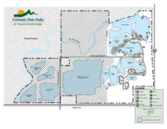
St. Vrain State Park Map
Map of park with detail of recreation zones
296 miles away
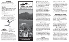
Trinidad State Park Map
Map of park with detail of recreation zones
299 miles away
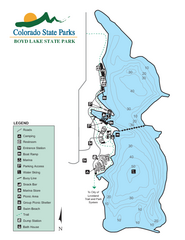
Boyd Lake State Park Map
Map of park with detail of recreation ares
302 miles away
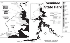
Seminoe State Park Map
Seminoe State Park offers excellent fishing, boating and wildlife-viewing opportunities.
315 miles away
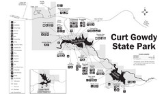
Curt Gowdy State Park Map
Curt Gowdy is a recreation area with three reservoirs. It's great for fishing, camping, water...
322 miles away
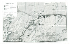
Santa Fe Trail Visitor Map
Map of the Santa Fe Trail showing all hiking trails, camping and picnic areas, roads, and monuments...
338 miles away
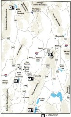
Camping in Elko County, Nevada Map
Map of camping opportunities in Elko County, Nevada, showing camp grounds, roads and towns.
352 miles away
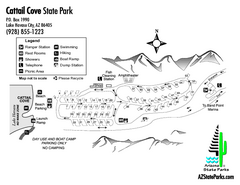
Cattail Cove State Park Map
Map of park with detail of trails and recreation zones
356 miles away
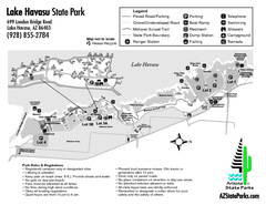
Lake Havasu State Park Map
Map of park with detail of trails and recreation zones
357 miles away
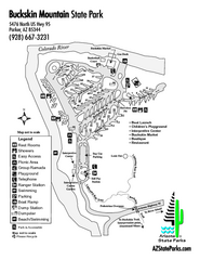
Buckskin Mountain State Park Map
Map of park with detail of trails and recreation zones
361 miles away
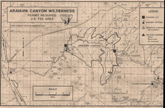
Aravaipa Canyon Map
Map of Aravaipa Canyon Wilderness
370 miles away
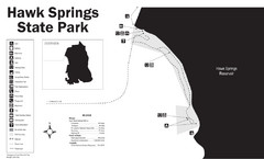
Hawk Springs State Park Map
Hawk Springs Recreation Area has activities for everyone to enjoy: boating, waterskiing, fishing...
391 miles away
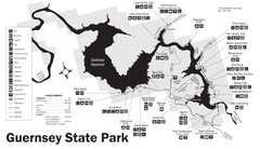
Guernsey State Park Map
The park has long been known as a haven for boating, camping, hiking and picnicking, but its real...
392 miles away
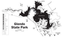
Glendo State Park Map
Glendo State Park is best known for its excellent boating opportunities, with plenty of areas for...
394 miles away
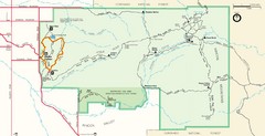
Saguaro Park Map
Navigable Driving Map for Saguaro Park. Includes all roads, trails, camping areas, and...
402 miles away
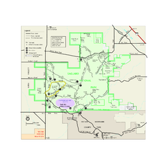
Saguaro National Park Official Park Map
Official NPS map of Saguaro National Park in Arizona. Map shows all areas. Both districts of the...
416 miles away

