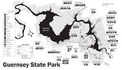
Guernsey State Park Map
The park has long been known as a haven for boating, camping, hiking and picnicking, but its real...
0 miles away
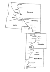
Continental Divide Trail Graphic Map
Guide to the Continental Divide Trail, with major cities and stopping points
69 miles away
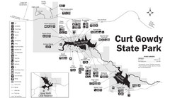
Curt Gowdy State Park Map
Curt Gowdy is a recreation area with three reservoirs. It's great for fishing, camping, water...
81 miles away
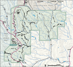
Wind Cave National Park Official Park Map
Official NPS map of Wind Cave National Park in South Dakota. Wind Cave is one of the world's...
113 miles away
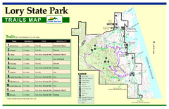
Lory State Park Trail Map
Map of park with detail of hiking trails
120 miles away
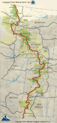
Continental Divide Trail Map
Guide to the full Continental Divide trail
121 miles away
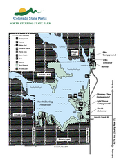
North Sterling State Park Map
Map of park with detail of recreation zones
130 miles away
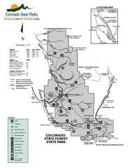
State Forest State Park Map
Map of park with detail of trails and recreation zones
136 miles away
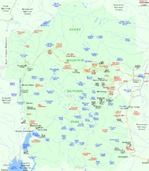
Rocky Mountain National Park Tourist Map
143 miles away
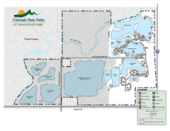
St. Vrain State Park Map
Map of park with detail of recreation zones
147 miles away
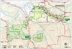
Official Badlands National Park Map
Official NPS map of Badlands National Park in South Dakota. The map shows all area's including...
148 miles away
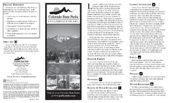
Steamboat Lake State Park Map
Map of park with detail of recreation zones
153 miles away
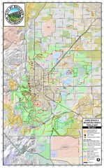
Boulder Open Space and Mountain Park Trail Map
Shows all trails in Open Spaces and Mountain Parks around Boulder, CO
160 miles away
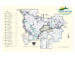
Golden Gate Canyon State Park Map
Map of park with detail of trails
172 miles away
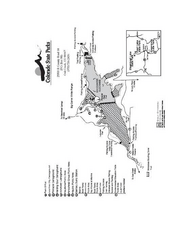
Stagecoach State Park Map
Map of park with detail of campgrounds and recreation zones
176 miles away
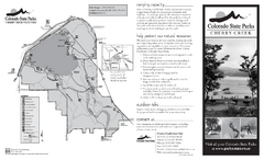
Cherry Creek State Park Map
Map of park with detail of recreation ares
184 miles away
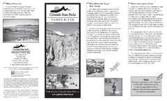
Yampa River State Park Map
Map of park with detail of recreation zones
184 miles away
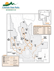
Roxborough State Park Map
Map of park with detail of recreation zones
197 miles away
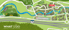
Vail Village Map
201 miles away
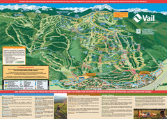
Vail Mountain resort Summer Adventure Map
Map of all hiking and mountain biking trails maintained by Vail Mountain Resort
201 miles away
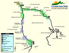
Sylvan Lake State Park Map
Map of park with detail of recreation zones and campgrounds
220 miles away
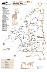
Mueller State Park Trail Map
Map of park with detail of hiking trails
236 miles away
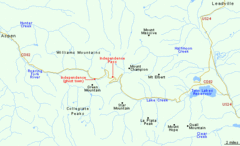
Independence Pass Area, Colorado Map
Basic map of the Independence Pass area near Aspen, Colorado. Independence Pass is the highest...
239 miles away
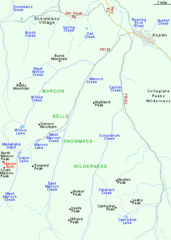
Maroon Bells Area Map
Basic Map of Watershed and Trails around Maroon Bells.
251 miles away
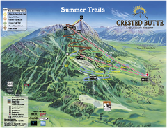
Crested Butte Mountain Resort Summer Trail Map
Official Crested Butte Mountain Resort summer trail map. Created by James Niehues.
261 miles away
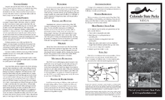
Vega State Park Map
Map of park with detail of recreation zones and campgrounds
264 miles away
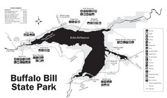
Buffalo Bill State Park Map
272 miles away
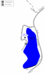
Steinaker State Park Map
Fish for rainbow trout and largemouth bass, and enjoy sandy beaches, swim, boat, and waterski at...
276 miles away
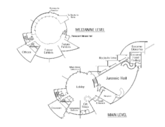
Utah Field House of Natural History Map
So much time is revealed here, even more geologic time than in the Grand Canyon. Within an 80-mile...
277 miles away
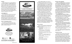
Lake Pueblo State Park Map
Map of park with detail of recreation zones
278 miles away
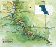
Great Lakes of South Dakota Map
Shows "the other Great Lakes" stretching along the Missouri River in South Dakota. Shows...
281 miles away
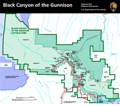
Black Canyon of the Gunnison National Park Map
Official NPS map of Black Canyon of the Gunnison in Colorado. Shows all areas including the South...
300 miles away
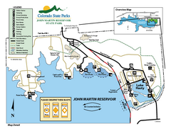
John Martin State Park Map
Map of park with detail of recreation zones
306 miles away
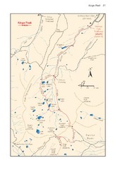
Kings Peak Trail Map
Trail map of route to Kings Peak, highest mountain in Utah at 13,528 ft. Route is around 30 miles...
307 miles away
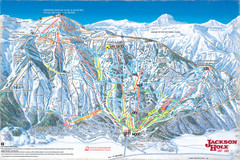
Jackson Hole Trail Map
315 miles away

Great Sand Dunes National Park and Preserve map
Official NPS map of Great Sand Dunes National Park and Preserve. Park includes the tallest dune in...
315 miles away
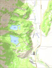
Bradley and Taggart Lake Hiking Map
Hiking map of Bradley Lake and Taggart Lake in Grand Teton National Park. A popular hike and good...
318 miles away
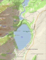
Jenny Lake Hiking Map
Shows hiking trails around Jenny Lake in Grand Teton National Park.
318 miles away
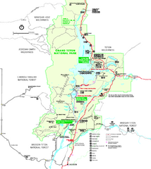
Grand Teton National Park Map - Summer
Official NPS summer map of Grand Teton National Park, Wyoming. The summer map includes all...
319 miles away
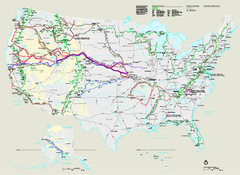
National Trails System Map
Map of all US National Scenic Trails and National Historic Trails. Shows all National Park System...
319 miles away

