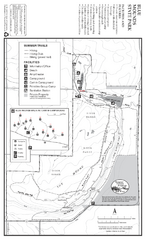
Blue Mounds State Park Map
Map of park with detail of trails and recreation zones
201 miles away
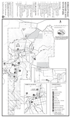
Forestville/Mystery Cave State Park Map
Map of park with detail of trails and recreation zones
207 miles away
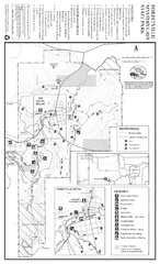
Forestville/Mystery Cave State Park Winter Map
Winter map of park with detail of trails and recreation zones
207 miles away
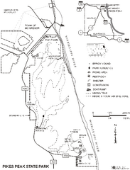
Pikes Peak State Park Map
Map of trails, effigy mounds and park facilities in Pikes Peak State Park.
211 miles away
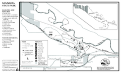
Minneopa State Park Map
Map of park with detail of trails and recreation zones
211 miles away
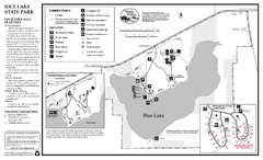
Rice Lake State Park Map
map of park with detail of trails and recreation zones
216 miles away
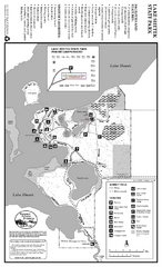
Lake Shetek State Park Summer Map
Summer seasonal map of park with detail of trails and recreation zones
217 miles away
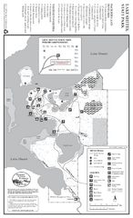
Lake Shetek State Park Winter Map
Winter seasonal map of park with detail of trails and recreation zones
217 miles away
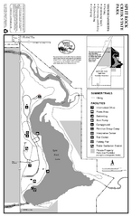
Split Rock Creek State Park Summer Map
Summer seasonal map of park with detail of trails and recreation zones
218 miles away
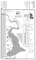
Split Rock Creek State Park Winter Map
Winter seasonal map of park with detail of trails and recreation zones
218 miles away
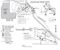
Bellevue State Park Map
Map of hiking trails, public hunting area and facilities of Bellevue State Park.
219 miles away
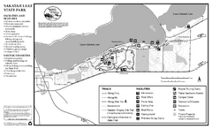
Sakatah Lake State Park Map
map of park with detail of trails and recreation zones
219 miles away
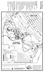
Flandrau State Park Map
Map of park with detail of trails and recreation zones
220 miles away
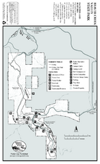
Beaver Creek Valley State Park Map
Map of park with detail of trails and recreation zones
226 miles away
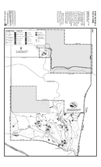
Fort Ridgely State Park Summer Map
Summer map of park with detail of trails and recreation zones
231 miles away
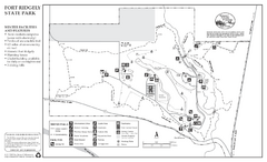
Fort Ridgely State Park Winter Map
Winter map of park with detail of trails and recreation zones
232 miles away
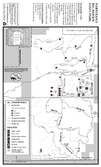
Nerstrand-Big Woods State Park Map
map of park with detail of trails and recreation zones
232 miles away
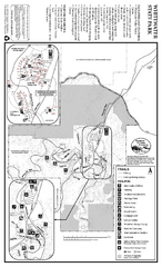
Whitewater State Park Map
map of park with detail of trails and recreation zones
236 miles away
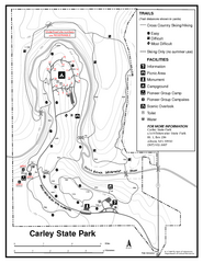
Carley State Park Map
Map of park with detail of trails and recreation zones
236 miles away
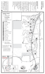
Camden State Park Summer Map
Map of park with detail of trails and recreation zones
237 miles away
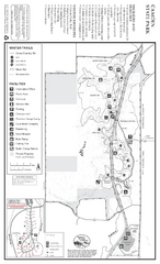
Camden State Park Winter Map
Map of park with detail of trails and recreation zones
237 miles away
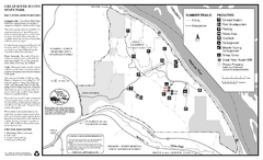
Great River Bluffs State Park Summer Map
Summer season map of park with detail of trails and recreation zones
248 miles away
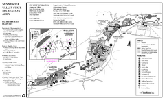
Minnesota Valley State Recreation Area Map
Map of recreation area with detail of trails and recreation zones
248 miles away
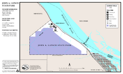
John A. Latsch State Park Map
Map of park with detail of trails and recreation zones
248 miles away
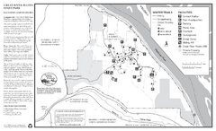
Great River Bluffs State Park Winter Map
Winter season map of park with detail of trails and recreation zones
248 miles away
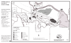
Upper Sioux Agency State Park Summer Map
Summer seasonal map of park with detail of trails and recreation zones
256 miles away
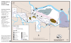
Upper Sioux Agency State Park Winter Map
Winter seasonal map of park with detail of trails and recreation zone
256 miles away
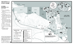
Frontenac State Park Summer Map
Map of park with detail of trails and recreation zones
257 miles away
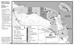
Frontenac State Park Winter Map
Map of park with detail of trails and recreation zones
258 miles away

Fountain Lakes Trail Map
Aerial map of trails at Fountain Lakes Park, 145 acres
259 miles away
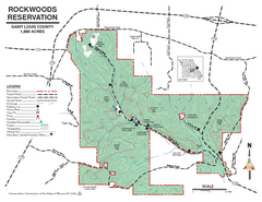
Map of Rockwoods Reservation, MO
Natural Area and hiking trails near St. Louis, MO.
265 miles away
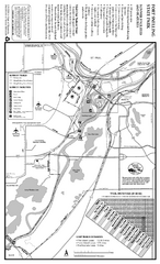
Fort Snelling State Park Summer Map
Summer map of park with detail of trails and recreation zones
266 miles away
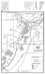
Fort Snelling State Park Winter Map
Winter map of park with detail of trails and recreation zones
266 miles away
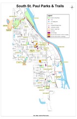
South St. Paul Parks and Trails Map
Park and trail map of South St. Paul, Minnesota.
270 miles away
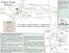
Long Lake Trails Map
Map of hiking trails around Long Lake
271 miles away
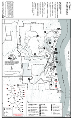
Afton State Park Summer Map
Map of park with detail of trails and recreation zones
272 miles away
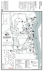
Afton State Park Winter Map
Map of park with detail of trails and recreation zones
272 miles away
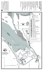
Lac Qui Parle State Park Map
Map of park with detail of trails and recreation zones
281 miles away
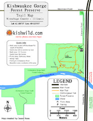
Kishwaukee Gorge Forest Preserve Map
Trail map of Kishwaukee Gorge Forest Preserve in Winnebago County, Illinois.
287 miles away
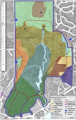
Pheasant Branch Conservancy Vegetation Map
Vegetation map of the Pheasant Branch Conservancy in Middleton, Wisconsin. Shows vegetative...
287 miles away

