
 Edit this map

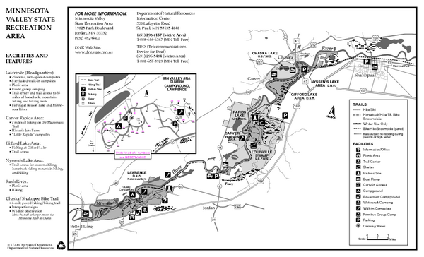
Minnesota Valley State Recreation Area Map
near 19825 Park Blvd, Jordan, MN
View Location
Map of recreation area with detail of trails and recreation zones

 See more

Nearby Maps
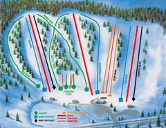
Hyland Ski and Snowboard Area Ski Trail Map
Trail map from Hyland Ski and Snowboard Area, which provides downhill, night, and terrain park...
21 miles away
Near Bloomington, Minnesota, United States
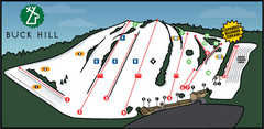
Buck Hill Ski Area Ski Trail Map
Trail map from Buck Hill Ski Area, which provides downhill, night, and terrain park skiing. It has...
21 miles away
Near Burnsville, Minnesota, United States
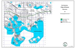
Orono City Map
City map of Orono, Minnesota. Shows DNR Luge Line Trail Railroad
21 miles away
Near Orono, Minnesota
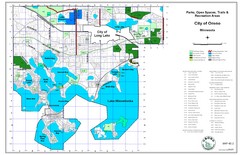
Orono City Park Map
22 miles away
Near Lake Minnetonka
Centennial Lakes Park Map
23 miles away
Near 7499 France Ave. S., Edina, MN 55435

 See more


 Explore Maps
 Map Directory
 click for
 Fullsize

0 Comments
New comments have been temporarily disabled.