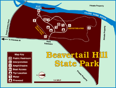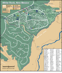
White Rock Road Map
Large and detailed map marking points of interest and roads.
8116 miles away
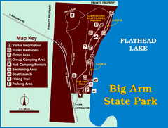
Big Arm State Park Map
Clear map and map key of Park camping grounds.
8128 miles away
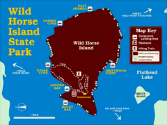
Wild Horse Island State Park Map
Boat access to this day-use-only, primitive park is regulated to protect the 2,000-acre island. The...
8133 miles away
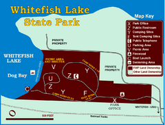
Whitefish Lake State Park Map
Although it’s right on the outskirts of Whitefish, this small park provides a mature forest...
8141 miles away
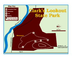
Clark's Lookatout State Park Map
Clearly marked State Park Map.
8141 miles away
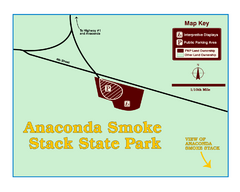
Anaconda Smoke Stack State Park Map
Simple map of State Park.
8147 miles away
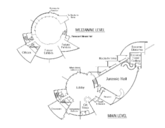
Utah Field House of Natural History Map
So much time is revealed here, even more geologic time than in the Grand Canyon. Within an 80-mile...
8168 miles away
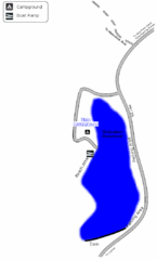
Steinaker State Park Map
Fish for rainbow trout and largemouth bass, and enjoy sandy beaches, swim, boat, and waterski at...
8168 miles away
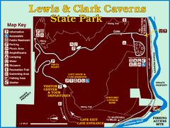
Lewis and Clark Caverns State Park Map
Montana's first and best-known state park showcases one of the most highly decorated limestone...
8189 miles away
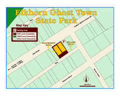
Elkhorn Ghost Town State Park Map
Clearly marked map of old 1880's ghost town with impressive structures.
8197 miles away
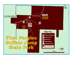
First People's Buffalo Jump State Park Map
A visitor center and interpretive trails tell the story of this prehistoric bison kill site, one of...
8249 miles away
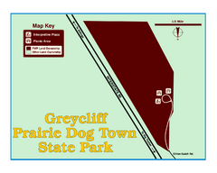
Greycliff Prairie Dog Town State Park Map
Grab your camera and hop off Interstate 90 at Greycliff to delight in the playful, curious black...
8281 miles away

Cooney State Park Map
Simple and clear State Park Map.
8301 miles away
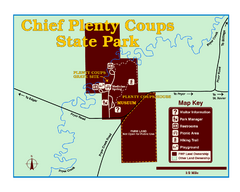
Chief Plenty Coups State Park Map
Simple and clear map of State Park.
8332 miles away
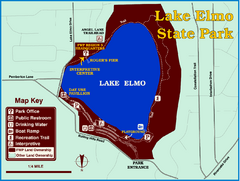
Lake Elmo State Park Map
This urban day-use park attracts visitors to swim, sailboard, and fish. A display in the Fish...
8344 miles away
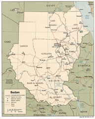
Sudan Map
Railroads, tracks, cities and borders are are marked on this clear map and legend.
8386 miles away
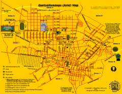
Quetzaltenango City Map
Large and detailed map.
8404 miles away
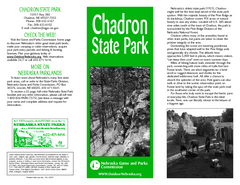
Chadron State Park Map
The majestic beauty of the Pine Ridge forms the backdrop for this great, get away from it all state...
8531 miles away
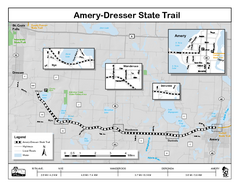
Ammery Dresser Trail Map
Easy to follow trail map.
9082 miles away
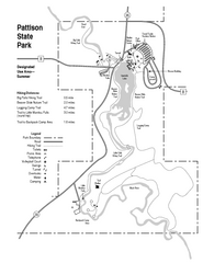
Pattison State Park Map
Great trails for a wonderfully relaxing summer vacation.
9117 miles away
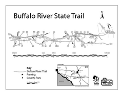
Buffalo River State Trail Map
Detailed map of excited hike through nature's finest.
9119 miles away
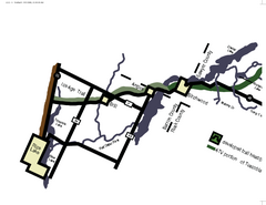
Tuscobia Map
Lakes and trails are easy to follow on this map.
9125 miles away
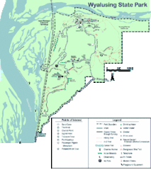
Wyalusing State Park Map
Detailed Park Map.
9127 miles away
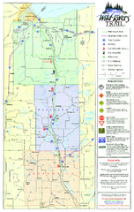
Wild Rivers Trail Map
A multitude of trails and rivers are clear to read on this map.
9131 miles away
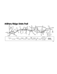
Military Ridge State Trail Map
Simple map marking trail route.
9135 miles away
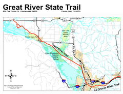
Great River State Trail Map
Nice hike through natural settings along a beautiful river.
9148 miles away
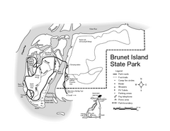
Brunet Island State Park Map
Easy to read legend.
9150 miles away
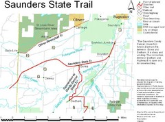
Saunders State Trail Map
Points of interest, lakes, roads, forests and more are marked on this map's key.
9191 miles away
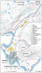
Narssaq City Map
Clearly marked city map and legend.
9192 miles away
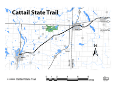
Cat Tail State Trail Map
Map marking trails, bike routes, shelter, toilets and more.
9193 miles away
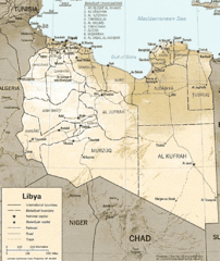
Lybia Map
Clear map and legend of this African Nation.
9197 miles away
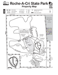
Roche A Cri State Park Map
Marked hiking trails for this State Park easily read on this map.
9203 miles away
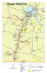
Badger State Trail Map
One of Wisconsin's best trails.
9205 miles away
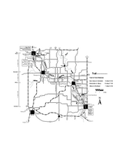
Sugar River Map
Towns, roads and rivers are all clearly marked on this map.
9206 miles away
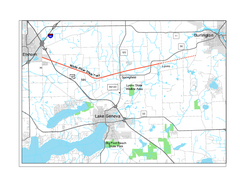
White River State Trail Map
Take the White River Trail from Elkhom to Burlington through nature's backyard.
9257 miles away
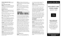
Holiday Lake State Park Map
Easy to read state park map.
9331 miles away
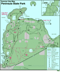
Peninsula State Park Map
Beautiful trails.
9339 miles away
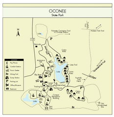
Oconee State Park Map
Beautiful state park clearly mapped with legend.
9433 miles away
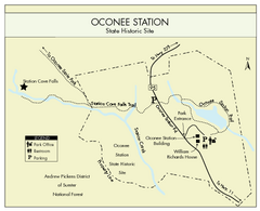
Oconee Station Map
Clear and simple map of Oconee State Park's station.
9434 miles away

