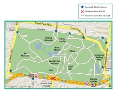
Forest Park, St. Louis Map
658 miles away
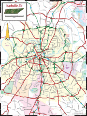
Nashville Road Map
Shows roads and major streets in Nashville, TN area
702 miles away
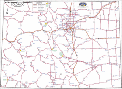
Colorado Highways Map
Road map of highways in state of Colorado
716 miles away
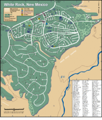
White Rock Road Map
Large and detailed map marking points of interest and roads.
717 miles away
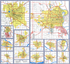
Nebraska City Road Maps Map
Shows roads/highways in 13 Nebraska cities.
731 miles away
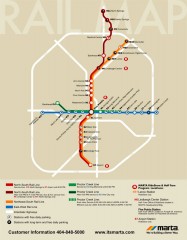
Atlanta MARTA rail map
Official rail map of the Metropolitan Atlanta Rapid Transit Authority.
779 miles away
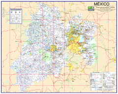
State of Mexico Road Map
Detailed road map of the Mexican state of Mexico. In Spanish.
834 miles away
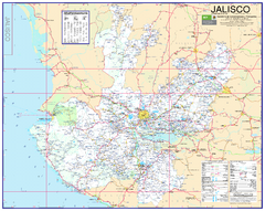
Jalisco Road Map
Detailed road map of the state of Jalisco. In Spanish.
834 miles away
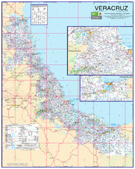
Veracruz Road Map
Detailed road map of the state of Veracruz. Inset of Veracruz city surroundings. In Spanish.
836 miles away
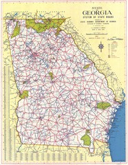
Georgia Road Map
Road map of state of Georgia, 1952
840 miles away
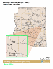
Arizona Highway Map
850 miles away
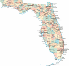
Florida Road Map
868 miles away
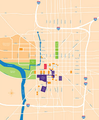
Indianapolis Center Map
Map of Indianapolis downtown center
869 miles away
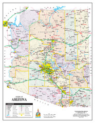
Arizona State Road Map
Arizona state road map
874 miles away
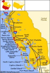
Bradenton Beach Map
Bradenton Beach and surrounding beach map.
925 miles away
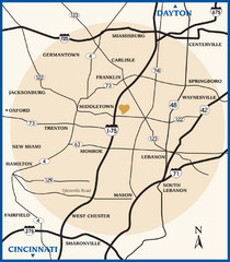
Atrium County Map
Map of Atrium County, Ohio. Includes all roads and towns.
934 miles away
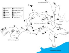
Escalante Petrified Forest State Park Map
Escalante Petrified Forest State Park is located in beautiful southern Utah, just 44 miles east of...
935 miles away
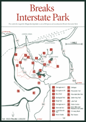
Breaks Interstate Park Map
Clear park map and legend.
960 miles away
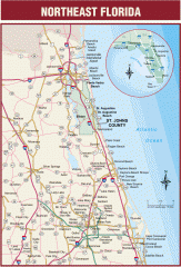
Northeast Florida Road map
A complete road map of the Northeast section of the state of Florida.
967 miles away
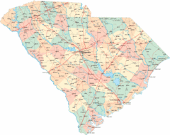
South Carolina Road Map
South Carolina state road map
973 miles away
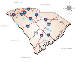
South Carolina Interstate Map
Shows Interstate highways in South Carolina
975 miles away
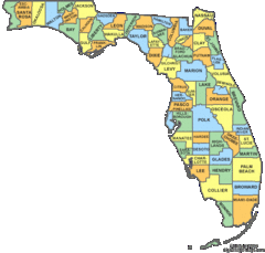
Florida Counties Map
983 miles away
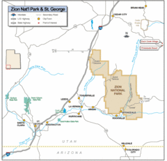
Zion National Park Highway Map
Highways, roads, cities and points of interest are marked on this clear map.
987 miles away
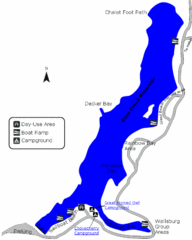
Deer Creek State Park Map
Deer Creek State Park lies in the southwest corner of beautiful Heber Valley and consistently...
1021 miles away
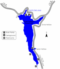
East Canyon State Park Map
East Canyon State Park is a 680-acre boating and year-round fishing delight nestled in the...
1043 miles away
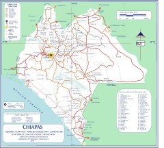
Chiapas Road Map
Road map of the Mexican state of Chiapas. Borders the Pacific Ocean and Guatemala. Shows roads and...
1047 miles away
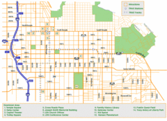
Downtown Salt Lake City Map
Street map of downtown Salt Lake City
1050 miles away

North Carolina Road Map
Road map of North Carolina
1050 miles away
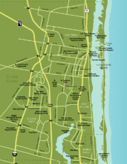
Port St. Lucie Map
Map of Port Saint Lucie.
1063 miles away
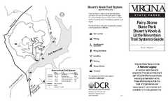
Fairy Stone State Park Map
Clearly marked state park map with trail system.
1064 miles away

