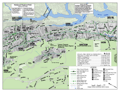
Leona Canyon Regional Open Space Preserve Map
24 miles away
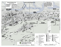
Anthony Chabot Regional Park Map - North
Trail map of the north section of Anthony Chabot Regional Park in the East Bay Hills.
24 miles away
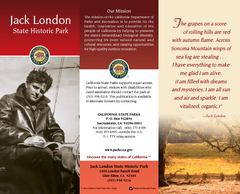
Jack London State Historic Park Map
Map of park with detail of trails and recreation zones
25 miles away
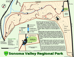
Sonoma Valley Regional Park Map
Trail map of 202 acre Sonoma Valley Regional Park.
25 miles away
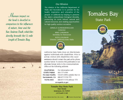
Tomales Bay State Park Map
Map of park with detail of trails and recreation zones
27 miles away
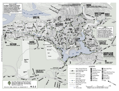
Anthony Chabot Regional Park Map - South
27 miles away
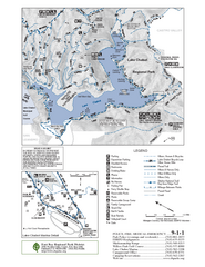
Lake Chabot Trail Map
28 miles away

San Pedro Valley Park Map
Park map of San Pedro Valley County Park in San Mateo County, California.
30 miles away
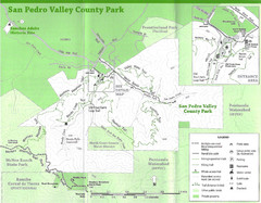
San Pedro Valley County Park Map
Trail map of San Pedro Valley County Park. 1,100 acre park with miles of trails and waterfall...
30 miles away
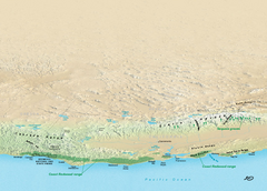
California Redwood Range Map
NPS prospective map of the coastal redwoord range in California, extending from Santa Cruz north to...
30 miles away
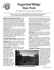
Sugarloaf Ridge State Park Campground Map
Map of park with detail of trails and recreation zones
31 miles away
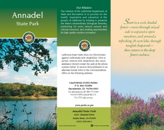
Annadel State Park Map
Map of park with detail of trails and recreation zones
31 miles away
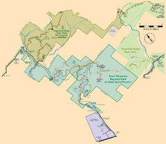
Hood Mountain Regional Park Map and Sugarloaf...
Park map of Hood Mountain Regional Park and Open Space Preserve and Sugarloaf Ridge State Park in...
32 miles away
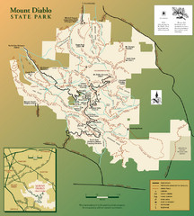
Mt. Diablo State Park Map
Trail map of Mt. Diablo State Park near Walnut Creek, CA
32 miles away
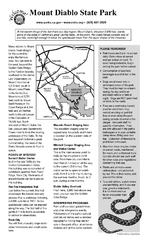
Mount Diablo State Park Campground Map
Map of park with detail of trails and recreation zones
32 miles away
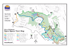
Water Dog Lake Park Trail Map
Trail map of Water Dog Lake Park. Open to mountain biking.
36 miles away
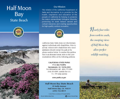
Half Moon Bay State Beach Map
Map of beach with detail of trails and recreation zones
36 miles away
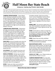
Half Moon Bay State Beach Campground Map
Map of beach with detail of trails and recreation zones
36 miles away
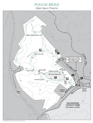
Pulgas Ridge Open Space Preserve Map
Trail map of Pulgas Ridge Open Space Preserve. 366 acres and 6 miles of trails
37 miles away
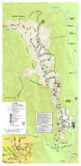
Pleasanton Ridge Regional Park Map
38 miles away
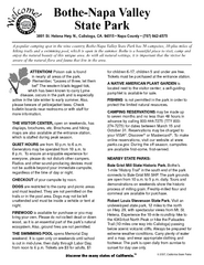
Bothe-Napa Valley State Park Map
Map of park with detail of of trails and recreation zones
38 miles away
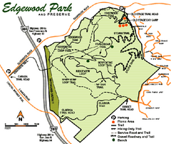
Edgewood County Park Trail Map
Trail map of Edgewood Park and Preserve in Redwood City, California.
39 miles away
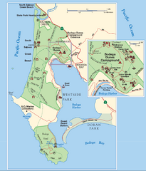
Bodega Bay Park Map
Park map of the Sonoma Coast State Beach park lands in Bodega Bay, California. Shows roads, trails...
39 miles away
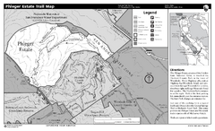
Phleger Estate Trail Map
Trail map of Phleger Estate, part of the Golden Gate National Recreation Area, in Woodside...
40 miles away
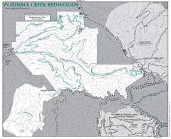
Purisima Open Space Preserve Map
Trail map of Purisima Open Space Preserve. Shows all mountain biking, hiking, and horseback riding...
40 miles away
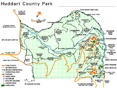
Huddart County Park Map
Trail map of Huddart County Park near Woodside, California.
40 miles away
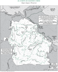
El Corte de Madera Open Space Preserve Map
Trail map of El Corte de Madera Open Space Preserve. Shows all mountain biking, hiking, and...
42 miles away
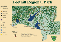
Foothill Regional Park Map
Park map of Foothill Regional Park in Sonoma County, California. Shows trails and 3 lakes.
42 miles away
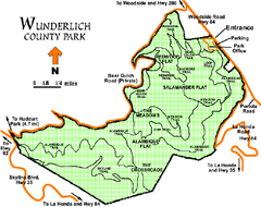
Wunderlich County Park Map
Trail map of Wunderlich County Park near Woodside, California. "The Alambique Trail offers a...
43 miles away
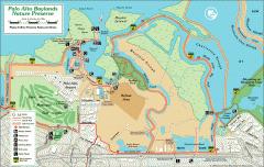
Palo Alto Baylands Nature Preserve Map
Map of the Palo Alto Baylands Nature Preserve in Palo Alto, CA. Shows trails, including part of...
43 miles away
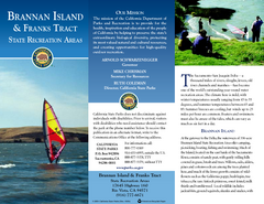
Brannan Island & Franks Tract State...
Map of park with detail of trails and recreation zones
44 miles away
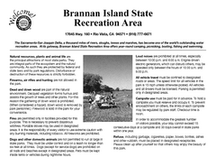
Brannan Island Campground Map
Map of park with detail of trails and recreation zones
44 miles away
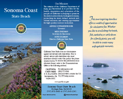
Sonoma Coast State Beach Map
Map of beach and park with detail of trails and recreation zones
44 miles away
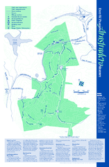
Arastradero Preserve Map
Trail map of Arastradero Preserve shows 10.25 miles of trails.
46 miles away
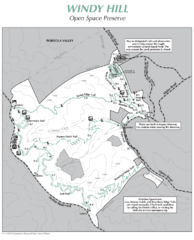
Windy Hill Open Space Preserve Map
Trail map of Windy Hill Open Space Preserve. 1312 acres and 12.2 miles of trails
46 miles away
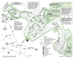
Mission Peak Preserve Map
Park map of Mission Peak Regional Preserve in Fremont, California. Topo map shows trails and trail...
46 miles away
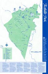
Palo Alto Foothills Park Map
Trail map of Palo Alto Foothills Park. 1400 acres and 15 miles of trails.
48 miles away
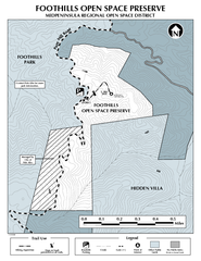
Foothills Regional Open Space Preserve Map
Preserve map of 212 acre Foothills Regional Open Space Preserve. A 0.4 mile trail leads from Page...
48 miles away
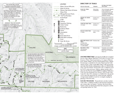
Sunol Regional Wilderness Trail Map - East
Trail map of eastern portion of Sunol Regional Wilderness in Sunol, California.
49 miles away
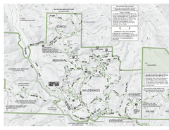
Sunol Regional Wilderness Trail Map - West
Trail map of western portion of Sunol Regional Wilderness in Sunol, California.
49 miles away

