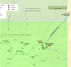
Mount San Jacinto State Park NE Map
Map of NE region of park with detail of trails and recreation zones
1865 miles away
Palomar Mountain State Park Trail Map
Map of doane valley trail in park
1883 miles away
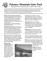
Palomar Mountain State Park Campground Map
Map of campground region of park with detail of trails and recreation zones
1883 miles away
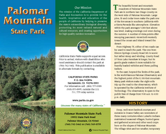
Palomar Mountain State Park Map
Map of park with detail of trails and recreation zones
1883 miles away
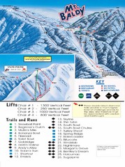
Mount Baldy Trail Map
1916 miles away
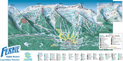
Fernie Mountain Trail Map
1918 miles away
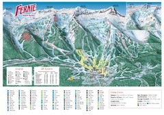
Fernie Mountain Trail Map
1918 miles away
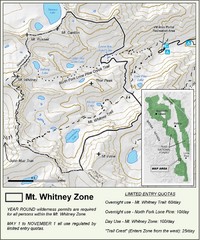
Mt. Whitney Zone Map
Zone map of Mt. Whitney area. Shows trail from Whitney Portal and Zone requiring Limited Use...
1932 miles away
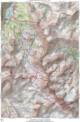
North Palisade South Lake Route Topo Map
Topo map of route from South Lake to North Palisade, 14,242 ft.
1944 miles away
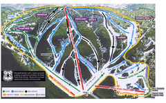
Bluewood Ski Trail Map
1966 miles away
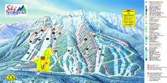
Norquay Map
Ski trail map
1987 miles away
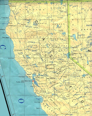
Northern California Map
Map of Northern California including cities, counties, and rivers
1988 miles away
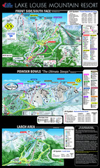
Lake Louise Trail Map
Ski area trail map for Lake Louise Mountain
2016 miles away
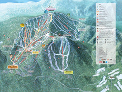
Northstar-at-Tahoe Ski Trail Map
Official trail map of Northstar-at-Tahoe ski area from the 2009-2010 season
2026 miles away
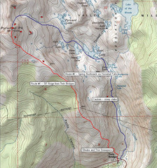
Pyramid Peak Ski Route Map
Backcountry ski route map of Pyramid Peak 9983 ft in the Desolation Wilderness near Lake Tahoe...
2027 miles away
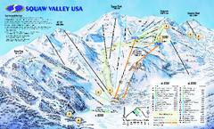
Squaw Valley USA Trail Map
Trail map of Squaw Valley ski area in Lake Tahoe, California
2033 miles away
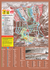
Kicking Horse Ski Trail Map 2009-10
Ski trail map of Kicking Horse ski area for the 2009-2010 season. Features 3 alpine bowls and 70...
2048 miles away
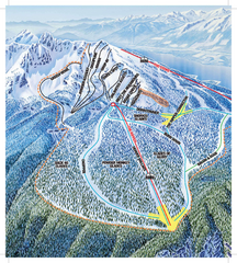
Revelstoke Ski Trail Map - North Bowl
Ski trail map of the North Bowl of Revelstoke ski area in Revelstoke, BC. From the 2008-2009...
2081 miles away
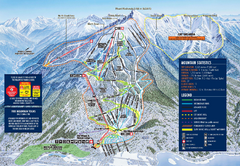
Revelstoke Ski Trail Map 2009-2010
Official ski trail map of Revelstoke Mountain Resort from the 2009-2010 season.
2081 miles away
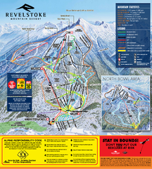
Revelstoke Ski Trail Map 2010-11
Ski trail map of Revelstoke Mountain Resort for the 2010-2011 season. Inset shows North Bowl area.
2082 miles away

Rockville Hills Regional Park Map
Trail Map, Two small lakes, picnic areas
2082 miles away
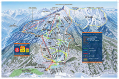
Revelstoke Ski Trail Map - Front side
Ski trail map of front side of Revelstoke ski area in Revelstoke, Canada from the 2008-2009 season.
2082 miles away
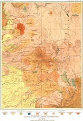
Lassen Peak District Geological Map
Geologic map of the Lassen Peak area in Lassen National Park, California. Shows sedimentary rock...
2100 miles away
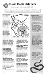
Mount Diablo State Park Campground Map
Map of park with detail of trails and recreation zones
2126 miles away
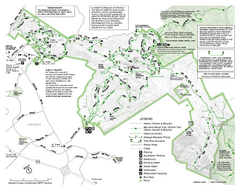
Mission Peak Preserve Map
Park map of Mission Peak Regional Preserve in Fremont, California. Topo map shows trails and trail...
2127 miles away
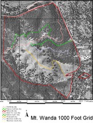
Mt. Wanda Aerial Trail Map
Trail map of Mt. Wanda area in the John Muir National Historic Site.
2138 miles away
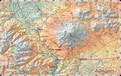
Mt. Shasta Scenic Area map
Great map of the Mt. Shasta region. Shows roads (including 4WD), mountains, lakes, and hiking...
2141 miles away
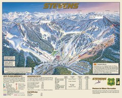
Stevens Pass Trail Map
2142 miles away
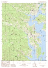
Bohemotash Mountain Quad - Shasta Lake Map
Topographic map, Bohemotash Mountain Quadrangle, California 1990. Area of map includes a portion of...
2146 miles away
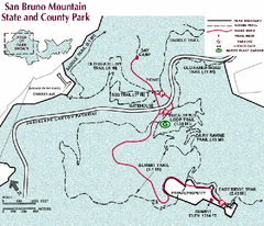
San Bruno Mountain Park Map
Park map of San Bruno Mountain State and County Park. Shows trails in northwest part of park.
2156 miles away
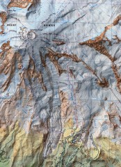
Mt. Rainier Climbing Routes Map
Shows major climbing routes on Mt. Rainier on southwest part of mountain.
2158 miles away
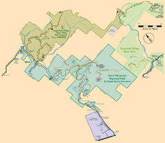
Hood Mountain Regional Park Map and Sugarloaf...
Park map of Hood Mountain Regional Park and Open Space Preserve and Sugarloaf Ridge State Park in...
2158 miles away

San Pedro Valley Park Map
Park map of San Pedro Valley County Park in San Mateo County, California.
2159 miles away
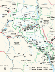
North Cascades National Park map
Official NPS map of North Cascades National Park, Washington. Shows the entire park and...
2160 miles away
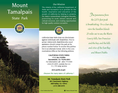
Mount Tamalpais State Park Map
Map of park with detail of trails and recreation zones
2164 miles away
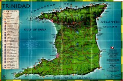
Trinidad tourist map
Trinidad tourist map. Shows points of interest.
2165 miles away
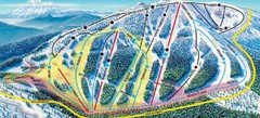
Mt. Ashland Ski Trail Map
Ski trail map of Mt. Ashland ski area near Ashland, Oregon
2166 miles away
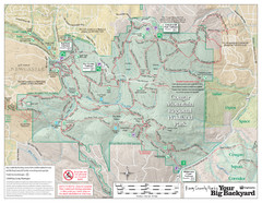
Cougar Mountain Park Trail Map
Trail map of Cougar Mountain Regional Wildland Park, part of the "Issaquah Alps"
2184 miles away
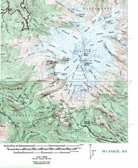
Mt. Baker Topo Map
Topo map of Mt. Baker, Washington, elevation 10,778ft.
2191 miles away
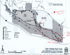
Lake Padden Park Trails Map
Course Elevation Map noted in handwriting on map. Festival location noted as well.
2218 miles away

