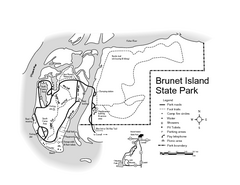
Brunet Island State Park Map
Easy to read legend.
351 miles away
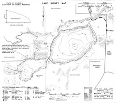
Fireside Lake Survey Map
Survey of Lake and surrounding areas done by State of Wisconsin Department of Natural Resources
354 miles away
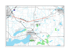
White River State Trail Map
Take the White River Trail from Elkhom to Burlington through nature's backyard.
359 miles away
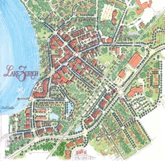
Lake Zurich, Illinois Tourist Map
369 miles away
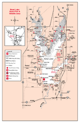
Rend Lake State Park, Illinois Site Map
379 miles away
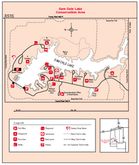
Sam Dale Lake, Illinois Site Map
382 miles away
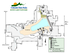
Bonny Lake State Park Map
Map of park with detail of recreation areas
389 miles away
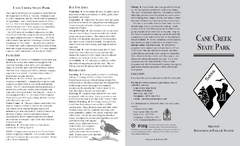
Cane Creek State Park Map
Cane Creek State Park Detail Map showing amenities, camp sites, and lake.
394 miles away
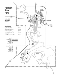
Pattison State Park Map
Great trails for a wonderfully relaxing summer vacation.
412 miles away
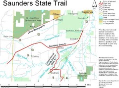
Saunders State Trail Map
Points of interest, lakes, roads, forests and more are marked on this map's key.
414 miles away
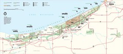
Indiana Dunes National Park Map
Indiana Dunes Park Visitors Map
417 miles away
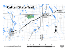
Cat Tail State Trail Map
Map marking trails, bike routes, shelter, toilets and more.
421 miles away
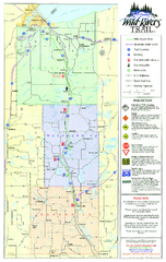
Wild Rivers Trail Map
A multitude of trails and rivers are clear to read on this map.
428 miles away
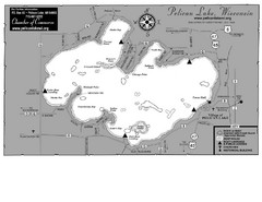
Pelican Lake Map
Lake map of Pelican Lake, Wisconsin. 3585 acres.
430 miles away
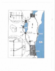
Eastern Wisconsin Map
431 miles away
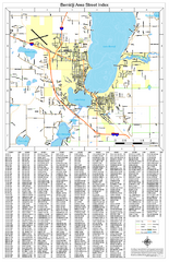
Bemidji Street Map
Street map of the Bemidji, Minnesota area
451 miles away
Jackson Lake State Park Map
Map of park with detail of recreation areas
475 miles away
Chain O' Lakes State Park, Indiana Site Map
503 miles away
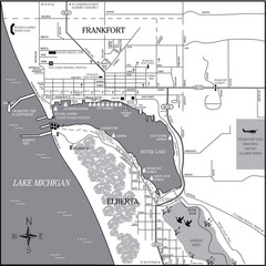
Frankfort-Elberta City Map
City map of Frankfort and Elberta, Michigan on shore of Lake Michigan.
513 miles away
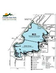
Barr Lake State Park Map
Map of park with detail of trails and recreation zones
516 miles away
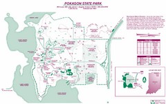
Pokagon State Park Map
Trail map of Pokagon State Park on Lake James in Angola, Indiana
523 miles away
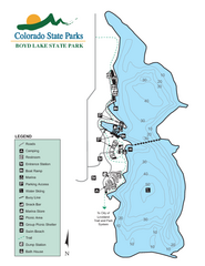
Boyd Lake State Park Map
Map of park with detail of recreation ares
525 miles away
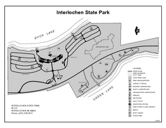
Interlochen State Park, Michigan Site Map
534 miles away
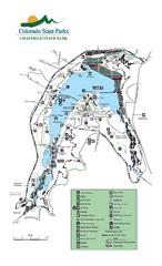
Chatfield State Park Map
Map of park with detail of recreation areas
538 miles away
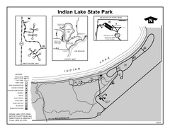
Indian Lake State Park, Michigan Site Map
559 miles away
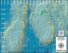
Gull Island Bathymetric Map
563 miles away
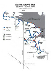
Walnut Grove Trail Map
564 miles away
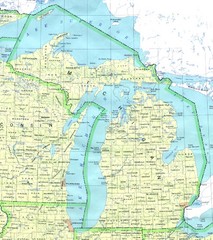
Lake Michigan Map
572 miles away
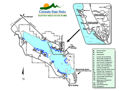
Eleven Mile State Park Map
Map of park with detail of campground zones
572 miles away
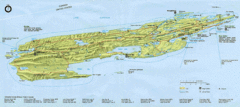
Isle Royale National Park Map
Park map of Isle Royal National Park. Scanned.
574 miles away
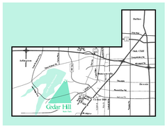
Cedar Hill, Texas State Park Map
589 miles away
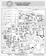
University of Michigan - Ann Arbor Map
University of Michigan - Ann Arbor, campus map. All buildings shown.
590 miles away
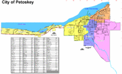
Petoskey Street Map
Street map of Petoskey, Michigan. Official city map.
591 miles away
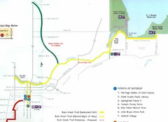
Buck Creek Trail Map
597 miles away
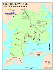
Dale Hollow Lake State Park Map
Map of trails and facilities of Dale Hollow Lake State Park.
604 miles away
Arkansas Headwaters Recreation Area Map
Map of recreation area with detail of various recreation zones and lakes
606 miles away
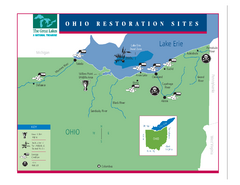
Lake Erie Restoration Sites Map
Shows restoration sites for Lake Erie in Ohio
635 miles away
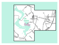
Lake Whitney, Texas State Park Map
639 miles away
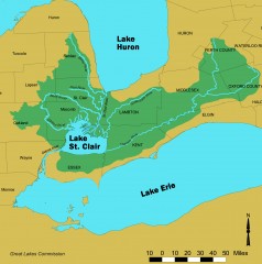
Lake St. Clair/St. Clair River watershed Map
Shows the Lake St. Clair/St. Clair River watershed.
648 miles away
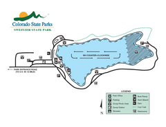
Sweitzer Lake State Park Map
Map of park with detail of recreation zones
707 miles away

