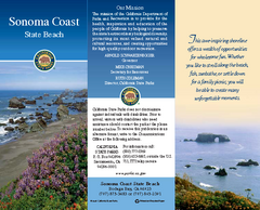
Sonoma Coast State Beach Map
Map of beach and park with detail of trails and recreation zones
79 miles away
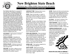
New Brighton State Beach Campground Map
Map of campground region of beach/park with detail of trails and recreation zones
80 miles away
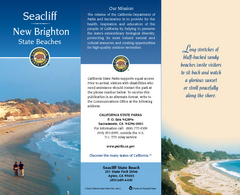
Seacliff & New Brighton State Beaches Map
Map of beaches and parks with detail of trails and recreation zones
80 miles away
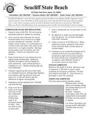
Seacliff State Beach Campground Map
Map of campground region of beach and park with detail of trails and recreation zones
80 miles away
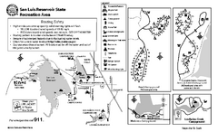
San Luis Reservoir State Recreation Area...
Map of campground region of park and reservoir with detail of trails and recreation zones
80 miles away
Pacheco State Park Map
Map of park with detail of trails and recreation zones
80 miles away
Wilder Ranch State Park Map
Map of park with detail of trails and recreation zones
82 miles away
Natural Bridges State Beach Map
Map of beach and park with detail of trails and recreation zones
83 miles away
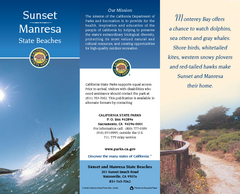
Sunset & Manresa State Beaches Map
Map of beaches and parks with detail of trails and recreation zones
84 miles away
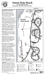
Sunset State Beach Campground Map
Map of park with detail of trails and recreation zones
86 miles away
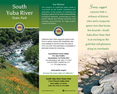
South Yuba River State Park Map
Map of park with detail of trails and recreation zones
86 miles away
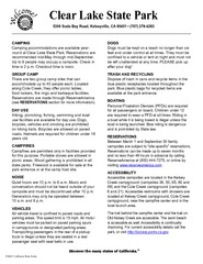
Clear Lake State Park Campground Map
Map of park with detail of trails and recreation zones
86 miles away
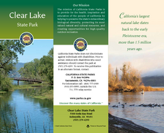
Clear Lake State Park Map
Map of park with detail of trails and recreation zones
86 miles away
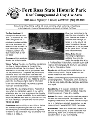
Fort Ross State Historic Park Campground Map
Map of park with detail of trails and recreation zones
89 miles away
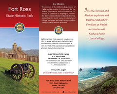
Fort Ross State Historic Park Map
Map of park with detail of trails and recreation zones
89 miles away
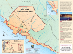
Fort Ross State Historic Park Map
Map of park with detail of trails and recreation zones
89 miles away
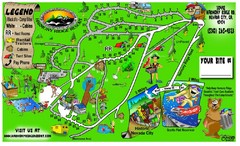
Harmony Ridge Resort Map
90 miles away
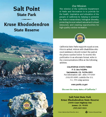
Salt Point State Park Map
Map of park with detail of trails and recreation zones
93 miles away
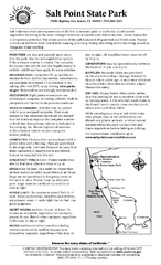
Salt Point State Park Campground Map
Map of campground region of park with detail of trails and recreation zones
93 miles away
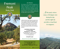
Fremont Peak State Park Map
Map of park with detail of trails and recreation zones
94 miles away
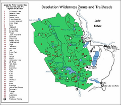
Desolation Wilderness, Lake Tahoe, California Map
Map of Desolation Wilderness, southwest of Lake Tahoe, California. Shows pack-in camping zones...
98 miles away
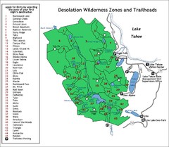
Desolation Wilderness Permits Zone Map
Zone and trailhead map of the Desolation Wilderness near Lake Tahoe, California. Use to figure out...
99 miles away
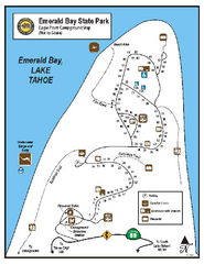
Emerald Bay State Park Campground Map
Map of park with detail of trails and recreation zones
104 miles away

Sugar Pine Point State Park South Map
Map of southern region of park with detail of trails and recreation zones
105 miles away
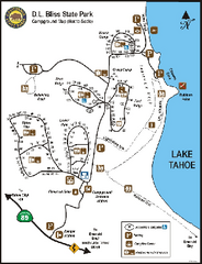
D.L. Bliss State Park Campground Map
Map of park with detail of trails and recreation zones
105 miles away
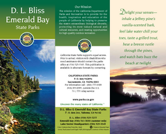
D.L. Bliss State Park Map
Map of park with detail of trails and recreation zones
105 miles away
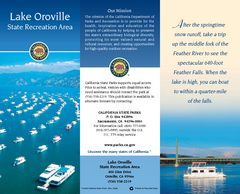
Lake Oroville State Recreation Area Map
Map of recreation area with detail of trails and recreation zones
106 miles away
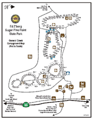
Sugar Pine Point State Park Campground Map
Map of campground region of park with detail of trails and recreation zones
106 miles away
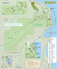
Sugar Pine Point State Park Map
Map of park with detail of trails and recreation zones
106 miles away
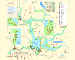
Lake Oroville State Recreation Area Map
Map of recreation area with detail of trails and recreation zones
106 miles away
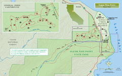
Sugar Pine Point State Park North Map
Map of northern region of park with detail of trails and recreation zones
106 miles away
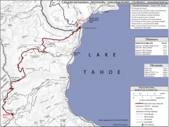
Tahoe Rim Trail: Barker Pass to Tahoe City Map
Topographic hiking map of the Barker Pass-Tahoe City leg of the Tahoe Rim Trail. Shows trailheads...
108 miles away
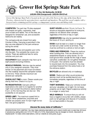
Grover Hot Springs State Park Campground Map
Map of park with detail of trails and recreation zones
108 miles away
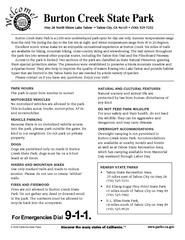
Burton Creek State Park Map
Map of park with detail of trails and recreation zones
111 miles away
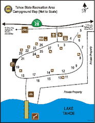
Tahoe State Recreation Area Campground Map
Map of park with detail of trails and recreation zones
111 miles away
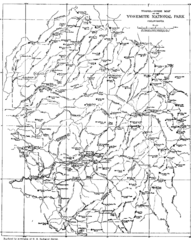
Yosemite Park Map (before development)
Map of Yosemite Park before valley development, showing only Portal Road
112 miles away
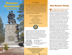
Donner Memorial State Park Map
Map of park with detail of trails and recreation zones
114 miles away
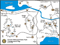
Donner Memorial State Park Campground Map
Map of park with detail of trails and recreation zones
114 miles away
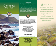
Garrapata State Park Map
Map of park with detail of trails and recreation zones
115 miles away
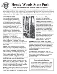
Hendy Woods State Park Campground Map
Map of campground region park with detail of trails and recreation zones
117 miles away

