New York maps
Top Contributors..
Claim the World, Map by Map
Claim a country by adding the most maps.Celebrate your territory with a Leader’s Boast.
Become World Leader by claiming the most!
New York Cities by Map Count..
- 1Speculator map
- 1Stony Brook map
- 1Ticonderoga map
- 1Tully map
- 1Turin map
- 1Tuxedo Park map
- 1Ulster Park map
- 1Warwick map
- 1Watertown map
- 1Waterville map
- 1West Falls map
- 1West Glens Falls map
- 1West Park map
- 1Westfield map
- 1Westmoreland map
- 1Williamsville map
- 1Windham map
- 1Yonkers map
- 0Lake George maps
- 0Lake Placid maps
- 0Ronkonkoma maps
- 0Saratoga Springs maps
Related Info
New York Keywords
New York Maps
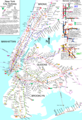
NYC Subway Map (unofficial)
Unofficial subway map of New York City. Created by SPUI.
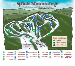
Oak Mountain Ski Center Ski Trail Map
Trail map from Oak Mountain Ski Center.
Ogdensburg, New York Historical Map
A wonderful highlight are the art reproductions of homes and buildings which surround the map...
Olympic Scenic Byway Map
Overview map showing the length of the Olympic Scenic Byway, which runs from Lake Ontario...
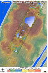
Olympic Trials Course Map
Elevation of the 2008 olympic trials marathon course in New York's Central Park.
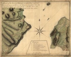
Oyster Bay and Huntington, Huntington Bay Map
A plan of the Narrows of Hells-gate in the East River, near which batteries of cannon and...
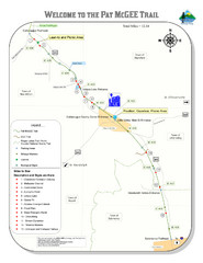
Pat Mcgee Trail Map
Peak-N-Peek Ski Trail Map
Official ski trail map of Peak-N-Peek ski area
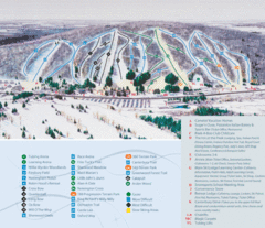
Peek’n Peak Ski Area Ski Trail Map
Trail map from Peek’n Peak Ski Area.
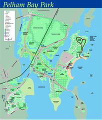
Pelham Bay Park NYC Map
Official detailed map of Pelham bay park, the largest park in New York City at 2,700 acres...
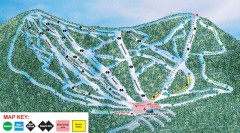
Plattekill Ski Trail Map
Official ski trail map of Plattekill ski area from the 2007-2008 season.
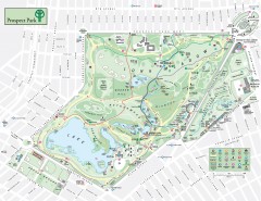
Prospect Park Map
Overview map of Prospect Park, a 585-acre city park located in the heart of Brooklyn. Designed...
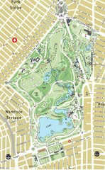
Prospect Park Map
Queens Botanical Garden Map
Shows facilities and names of different gardens. In many languages.

Queens College Campus Map
3D map of Queens College campus. All buildings shown.
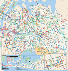
Queens, New York Bus Map
Official MTA Bus Map of Queens, NY. Shows all routes.
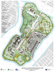
Randall's Island Park Map
Master plan for Randall's Island Park
Riverside Park Map
Map of Riverside Park, New York. Illustrates all recreational activities, trails, bus stops...


 Maps contributed
 Big Map
  Gallery