
 Edit this map

Oyster Bay and Huntington, Huntington Bay Map
View Location
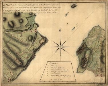
A plan of the Narrows of Hells-gate in the East River, near which batteries of cannon and mortars were erected on Long Island with a view to take off the defences and make breaches in the rebel fort on the opposite shore to facilitate a landing of troops on New York Island. Drawn by Chals. Blaskowitz.

 See more

Nearby Maps
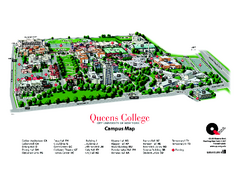
Queens College Campus Map
3D map of Queens College campus. All buildings shown.
3 miles away
Near Flushing, New York

Queens Botanical Garden Map
Shows facilities and names of different gardens. In many languages.
4 miles away
Near 43-50 Main Street, Flushing, NY 11355
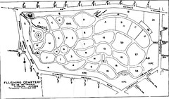
Flushing Cemetery Map
Map of the sections of Flushing Cemetery in Queens
4 miles away
Near 163-06 46th avenue, Flushing, NY 11358
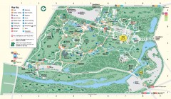
Bronx Zoo Map
Bronx Zoo. The Zoo is open 365 days a year. "Now through November 4, 2007, our hours are 10...
4 miles away
Near 2300 Southern Boulevard, bronx, ny
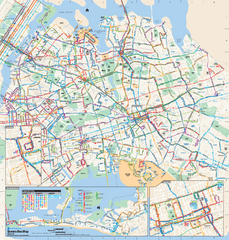
Queens, New York Bus Map
Official MTA Bus Map of Queens, NY. Shows all routes.
4 miles away
Near Queens, New York

 See more


 Explore Maps
 Map Directory
 click for
 Fullsize


0 Comments
New comments have been temporarily disabled.