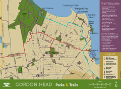
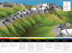
British Columbia maps
Top Contributors..
-
13

Mapophile
-
5

nava
-
4

powderdave
-
4

nicky
Claim the World, Map by Map
Claim a country by adding the most maps.Celebrate your territory with a Leader’s Boast.
Become World Leader by claiming the most!
British Columbia Cities by Name..
- 1Ashcroft map
- 1Chetwynd map
- 1Dawson Creek map
- 10Fernie maps
- 6Golden maps
- 1Houston map
- 2Kamloops maps
- 2Kimberley maps
- 4Lions Bay maps
- 3Nanaimo maps
- 1Nelson map
- 4New Westminster maps
- 6North Vancouver maps
- 1Peachland map
- 1Pemberton map
- 1Penticton map
- 1Port Alberni map
- 4Prince George maps
- 1Princeton map
- 6Revelstoke maps
- 6Rossland maps
- 1Salmo map
- 3Sechelt maps
- 2Smithers maps
- 2Sooke maps
- 1Summerland map
- 2Trail maps
- 11Vancouver maps
- 21Victoria maps
- 15Whistler maps
- 1Williams Lake map
Related Info
British Columbia Keywords
British Columbia Maps
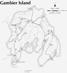
Gambier Island Trail Map
Trail map of Gambier Island, BC. See site for trail descriptions and details.
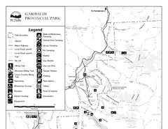
Garibaldi Provincial Park Map
Park map of Garibaldi Provincial Park, BC. 2 pages.
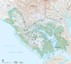
Glacier Bay National Park map
Detailed map of Glacier Bay National Park and Preservation in Alaska
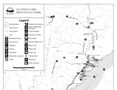
Golden Ears Provincial Park Map
Park map of Golden Ears Provincial Park, BC. 2 pages.
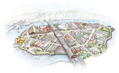
Granville Island Map
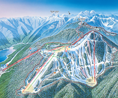
Grouse Mountain Ski Trail Map
Trail map from Grouse Mountain, which provides downhill, night, and terrain park skiing. It has...
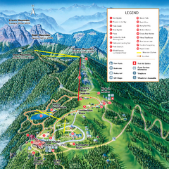
Grouse Mountain Summer Trail Map
Summer trail map of Grouse Mountain Resort near Vancouver, BC.
Hemlock Resort Ski Trail Map
Trail map from Hemlock Resort, which provides downhill and terrain park skiing. It has 4 lifts...
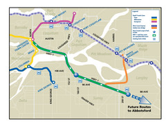
Highway 1 Rapid Bus Service Map
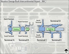
Houston, Airport Terminal Map
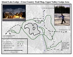
Island Lake Lodge Ski Trail Map
Trail map from Island Lake Lodge, which provides nordic skiing. This ski area has its own...
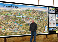
Kamloops tourist info map by Jean-Louis Rheault
Tourist map of Kamloops, British Columbia. Photo of 20 foot sign with the cartographer, Jean...
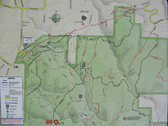
Kettle Valley Trails Map
Map of Kettle Valley Trails. Includes all trails, streets, and attractions.
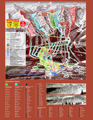
Kicking Horse Resort Ski Trail Map 2008-2009
Trail map from Kicking Horse Resort, which provides downhill and nordic skiing. This ski area...
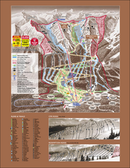
Kicking Horse Ski Trail Map 2007-08
Official ski trail map of Kicking Horse ski area from the 2007-2008 season.
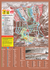
Kicking Horse Ski Trail Map 2009-10
Ski trail map of Kicking Horse ski area for the 2009-2010 season. Features 3 alpine bowls and...
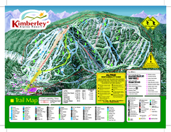
Kimberley Alpine Resort Ski Trail Map
Trail map from Kimberley Alpine Resort.

Kimberley Ski Trail Map
Official ski trail map of Kimberley ski area from the 2007-2008 season.


 Maps contributed
 Big Map
  Gallery