British Columbia maps
Top Contributors..
-
13

Mapophile
-
5

nava
-
4

powderdave
-
4

nicky
Claim the World, Map by Map
Claim a country by adding the most maps.Celebrate your territory with a Leader’s Boast.
Become World Leader by claiming the most!
British Columbia Cities by Name..
- 1Ashcroft map
- 1Chetwynd map
- 1Dawson Creek map
- 10Fernie maps
- 6Golden maps
- 1Houston map
- 2Kamloops maps
- 2Kimberley maps
- 4Lions Bay maps
- 3Nanaimo maps
- 1Nelson map
- 4New Westminster maps
- 6North Vancouver maps
- 1Peachland map
- 1Pemberton map
- 1Penticton map
- 1Port Alberni map
- 4Prince George maps
- 1Princeton map
- 6Revelstoke maps
- 6Rossland maps
- 1Salmo map
- 3Sechelt maps
- 2Smithers maps
- 2Sooke maps
- 1Summerland map
- 2Trail maps
- 11Vancouver maps
- 21Victoria maps
- 15Whistler maps
- 1Williams Lake map
Related Info
British Columbia Keywords
British Columbia Maps
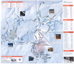
Sovereign Lake Ski Trail Map
Trail map from Sovereign Lake, which provides night and nordic skiing. This ski area has its...
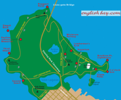
Stanely Park Map
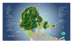
Stanley Park Map
Overview trail map of Stanley Park in Vancouver, BC.
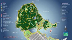
Stanley Park Map
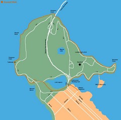
Stanley Park Map
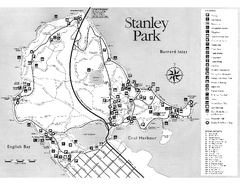
Stanley Park Trail Map
Trail map of Stanley Park near downtown Vancouver, BC. Shows monuments.
Stanley, British Columbia Map
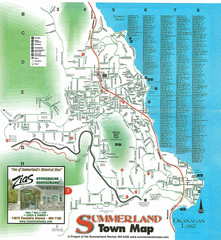
Summerland Town Map
Map of Summerland with details on outdoor-recreation locations and streets
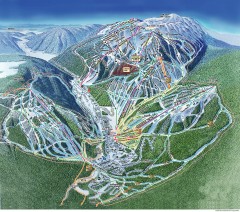
Sun Peaks Ski Trail Map
Official ski trail map of Sun Peaks ski area from the 2006-2007 season.
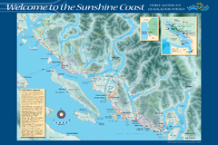
Sunshine Coast Recreation Map
Recreation map of the Sunshine Coast in BC. Shows trails for hiking (in yellow) and mountain...
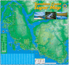
Sunshine Coast Super Map
Sunshine Coast Super Map Poster. 44" X 42". Also Available in folded version.

The Town of Sidney - Parks Map
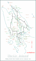
Thetis Island Map
Thetis Island map showing roads, properties, and the community trail.
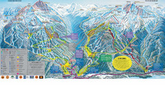
Trail Map Whistler Blackcomb
Map of all trails and ski runs at Whistler and Blackcomb mountains. Includes detailed...
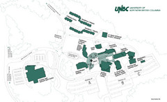
University of Northern British Columbia Campus...
Campus map of UNBC in Prince George, British Columbia


 Maps contributed
 Big Map
  Gallery