
 Edit this map

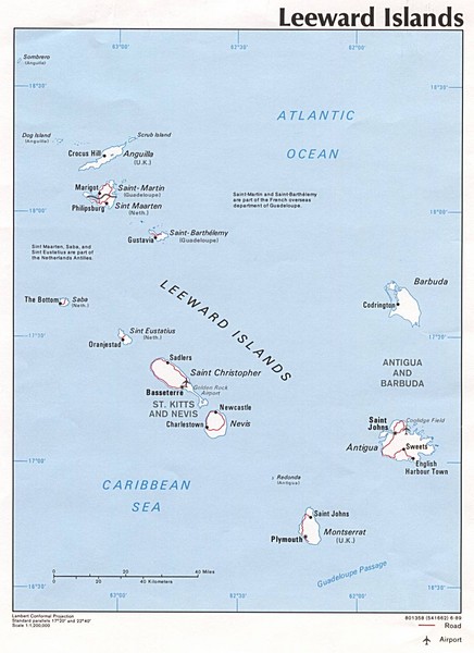
Leeward Islands Map
near Caribbean
View Location
Guide to the Leeward Islands of the Caribbean, such as Saint Barthelemey, Saint Martin, Anguilla, Antigua and Barbuda

 See more

Nearby Maps
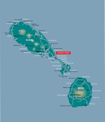
St. Kitts and Nevis dive sites Map
18 miles away
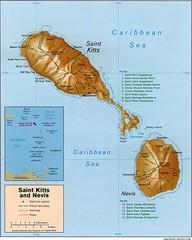
St. Kitts and Nevis Map
20 miles away
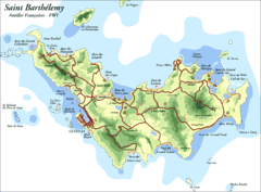
St. Barthelemy Map
26 miles away
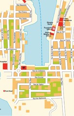
Gustavia Map
26 miles away
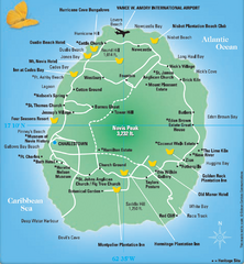
Nevis Tourist Map
Tourist map of Nevis Island, near St. Kitts. Shows inns, villages, and other points of interest.
29 miles away
Near Nevis Island
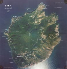
Saba aerial map
Aerial map of Saba. Shows major geological features and towns. Home of one of the world's...
39 miles away
Near Saba

 See more


 Explore Maps
 Map Directory
 click for
 Fullsize

0 Comments
New comments have been temporarily disabled.