
 Edit this map

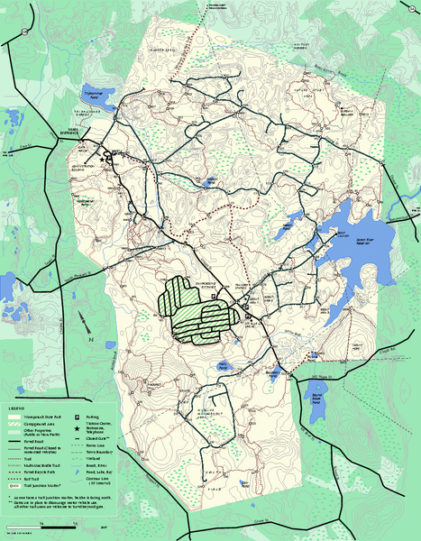
Wompatuck State Park trail map
near hingham, ma

 See more

Nearby Maps
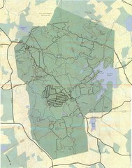
Wompatuck Park Trail Map
Map of Wompatuck Park including trails and roads and park features
less than 1 mile away
Near Hingham, MA
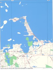
Hull Town Map
5 miles away
Near Hull, MA
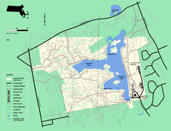
Ames Nowell State Park Map
Trail map of Ames Nowell State Park in Massachusetts
9 miles away
Near ames nowell, ma
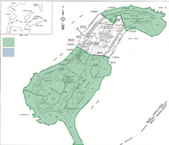
Thompson Island Easement Map
Map of Thompson Island easement. Includes roads, buildings, trails and attractions as well as the...
10 miles away
Near Boston, Massachusetts, USA
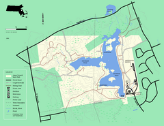
Ames Nowell State Park Map
Simple map of this beautiful state park. Visit and hike, bike, and shop!
10 miles away
Near Ames Nowell State Park, MA
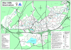
Blue Hills Reservation Trail Map
Trail map of the Blue Hills Reservation in Massachusetts
12 miles away
Near blue hills reservation, ma

 See more


 Explore Maps
 Map Directory
 click for
 Fullsize


1 Comments
are you allowed to drive golf carts thru the park in hingham, does aybody know....