
 Edit this map

Delaney Conservation Land Map
near stow ma

 See more

Nearby Maps
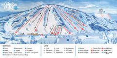
Nashoba Valley Ski Area Ski Trail Map
Trail map from Nashoba Valley Ski Area.
8 miles away
Near Westford, Massachusetts, United States
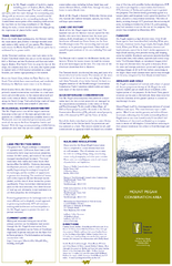
Mt. Pisgah Map - Northboro, Berlin, Boylston Mass
8 miles away
Near berlin ma
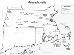
Massachusetts Airports Map
9 miles away
Near Massachusetts
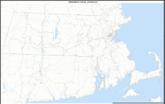
Massachusetts Zip Code Map
Check out this Zip code map and every other state and county zip code map zipcodeguy.com.
9 miles away
Near Massachusettes
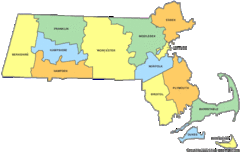
Massachusetts Counties Map
9 miles away
Near Massachusetts
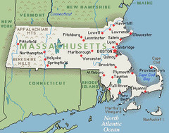
Massachusetts Cities and Mountains Map
9 miles away
Near Massachusetts

 See more


 Explore Maps
 Map Directory
 click for
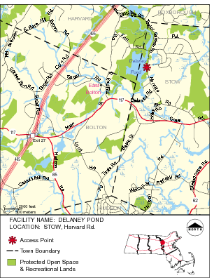
 Fullsize


0 Comments
New comments have been temporarily disabled.