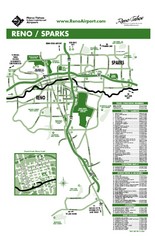
Reno Tahoe Tourist Map
0 miles away
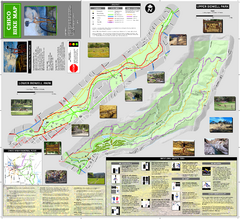
Upper and Lower Bidwell Park Bike Map
Bike map of Upper Bidwell Park and Lower Bidwell Park in Chico, California
105 miles away
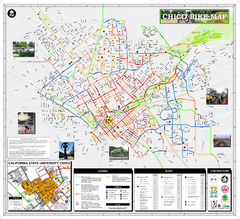
Chico Bike Map
Bicycle route map of Chico, California
108 miles away
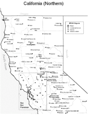
Northern California Airports Map
109 miles away
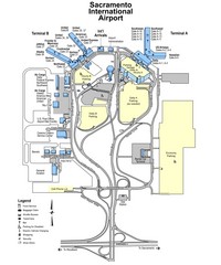
Sacramento International Airport Map
112 miles away
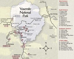
Yosemite National Park Map
123 miles away
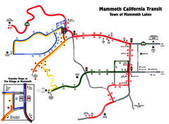
Mammoth Transit Map
Map of Mammoth transit system
138 miles away
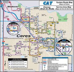
Ceres, CA Transportation Map
148 miles away
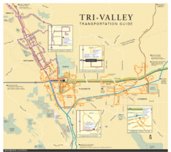
Tri Valley Transportation and Road Map
The Tri Valley cities roads and routes.
168 miles away
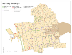
Bikeway Network of Berkeley, California Map
Map of current and proposed bike paths, lanes, and boulevards in Berkeley, California.
175 miles away
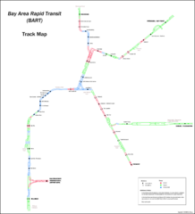
Bay Area Rapid Transit (BART) Track Map
Map of Bay Area Rapid Transit (BART) tracks. Includes all train stops and details about the tracks.
177 miles away
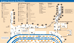
Oakland International Airport (OAK) Map
Terminal map. Shows all airport services and facilities
180 miles away
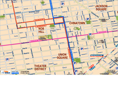
Downtown San Francisco: Union Square, Chinatown...
Tourist map of Union Square, Chinatown and Nob Hill in Downtown San Francisco, California. Public...
185 miles away
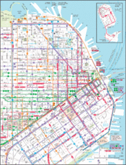
Downtown San Francisco Transit Map
Guide to area and transit in downtown San Francisco
185 miles away
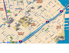
Downtown San Francisco: South of Market, Yerba...
Tourist map of South of Market (SOMA), Yerba Buena Center, and South Beach areas in downtown San...
185 miles away

San Francisco Muni Metro map
Official SFMTA San Francisco MUNI Metro map. Shows overlapping BART stations and the Cal Train...
186 miles away
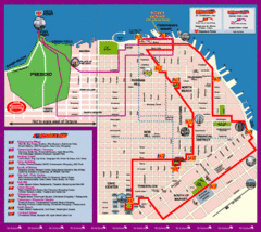
Double Decker Tour Bus Map
186 miles away
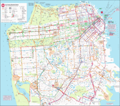
Municipal Railway Map
186 miles away
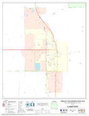
Lakeview Oregon Road Map
186 miles away
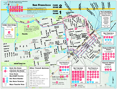
San Francisco Bus and Ferry Map
186 miles away
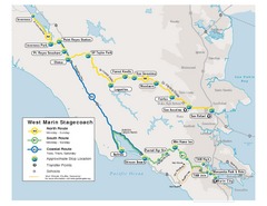
West Marin Bus Map
Bus route map of West Marin Stagecoach. Shows routes to Inverness, Point Reyes Station, Olema...
186 miles away
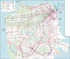
San Francisco Muni system map
Transit Muni system map shows all bus, subway metro, cable car, and streetcar routes.
187 miles away
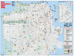
San Francisco Bike Map
Map showing bike paths, bike lanes, bike shops, public transportation, and grades of hills in San...
187 miles away
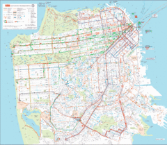
San Francisco Public Transportation map
Transit Muni system map shows all bus, subway metro, cable car, and streetcar routes.
188 miles away
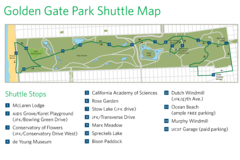
Golden Gate Park Shuttle Map
Shows shuttle stops in Golden Gate Park, SF.
189 miles away
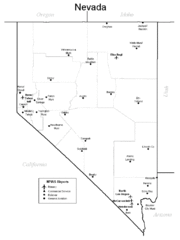
Nevada Airports Map
189 miles away
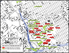
Motorcycle Parking in Downtown San Jose...
Motorcycle parking map of downtown San Jose, California. Shows locations and inventory of parking...
189 miles away
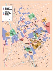
San Jose Downtown map
San Jose sowntown street map showing public transportation and parking.
189 miles away
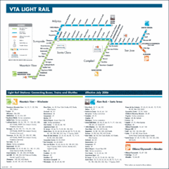
Santa Clara Light Rail Map
191 miles away
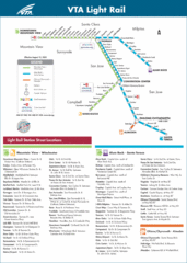
VTA Light Rail Map
191 miles away
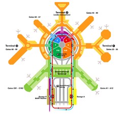
San Francisco Initernational Airport SFO Terminal...
AirTrain, airline, and gate locations map of SFO.
192 miles away
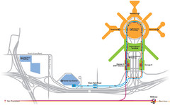
San Francisco International Airport Map
192 miles away
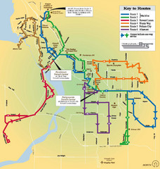
BTS Route Map
Map of BTS bus routes throughout Klamath Falls
213 miles away
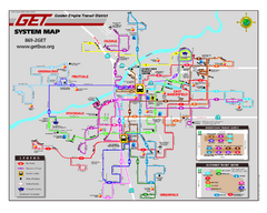
Bakersfield California Bus System Map (G.E.T. Bus)
Entire system map of all routes Golden Empire Transit offers in the City of Bakersfield, California.
291 miles away
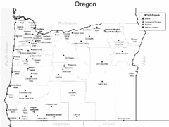
Oregon Airport Map
298 miles away
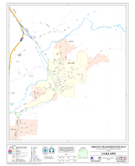
Oakland Oregon Road Map
324 miles away
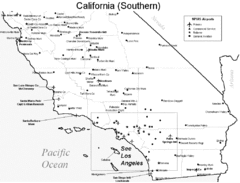
Southern California Airports Map
341 miles away
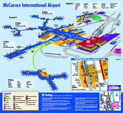
Las Vegas McCarran Airport Terminal Map
Official Terminal Map of Las Vegas McCarran Airport. Shows all areas.
349 miles away
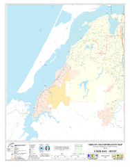
West Coos Bay Oregon Road Map
350 miles away
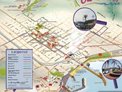
Santa Barbara Car Free Map
Shows bicycle and public transportation routes in downtown Santa Barbara, CA. Shows points of...
353 miles away

