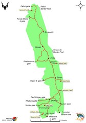
Kruger National Park Map
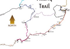
Wilderness trail map of Kruger National Park in South Africa
0 miles away
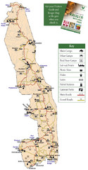
Kruger National Park Map
Park map of Kruger National Park, South Africa
4 miles away

Addo Elephant National Park Trails Map
737 miles away
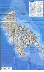
Zakynthos Island Map
Detailed map of Zakynthos Island. Scanned
4326 miles away
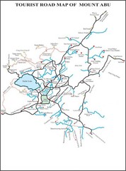
Mount Abu Tourist Map
4350 miles away
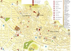
Matera Tourist Map
Tourist map of Matera, Italy. Shows points of interest.
4570 miles away
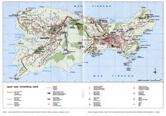
Capri Tourist Map
Tourist map of island of Capri, Italy. Shows roads, hotels, beaches, and other points of interest...
4597 miles away
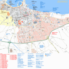
Bari Tourist Map
Tourist map of Bari, Italy. Shows consulates and points of interest.
4597 miles away
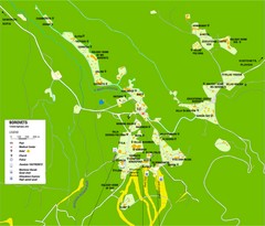
Borovets Map
Map of Borovets ski resort in Bulgaria.
4613 miles away
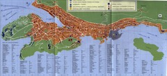
Dubrovnik City Map
City map of Dubrovnik, Croatia. Street index and shows services. Scanned.
4685 miles away
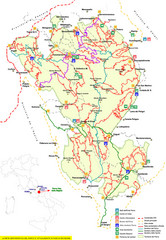
Parco Nazionale della Majella Trail Map
Trail map of Majella National Park (Parco Naz. della Majella) in Italy. Indicates under revision...
4698 miles away
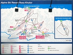
Rosa Khutor Ski Trail Map
Ski trail map of Rosa Khutor in Russia, site of all alpine skiing and snowboarding events in the...
4709 miles away

Island of Hvar Map
Map of the Island Hvar, Croatia showing roads and cities.
4736 miles away
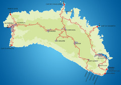
Minorca Cycling Map
4759 miles away
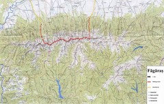
Bagaras Mountains Hiking Trail Map
Bagaras Mountain walking trails, Romania.
4842 miles away
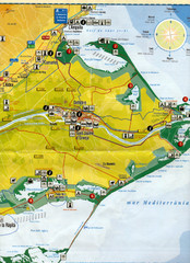
Deltebre Spain Tourist Map
Tourist Map of Deltebre, Spain and surrounding areas including the park features. Map is in...
4890 miles away
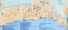
Sitges Tourist Map
Tourist map of Sitges, Spain. Show points of interest.
4894 miles away
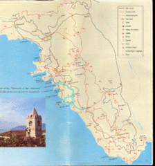
Tellaro Trail Map
Trail map showing marked and unmarked paths and other tourist points of interest. In English.
4899 miles away
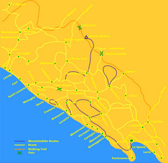
Cinque Terre Mountain Biking Trail Map
Mountain biking trail map of routes near Levanto and the Cinque Terre, Italy. Shows trails, roads...
4911 miles away
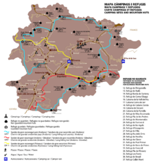
Andorra Long Hiking Routes, Mountain Huts, and...
Shows long hiking trails (grande randonee), mountain hits (refuges), and camping sites in Andorra
4978 miles away
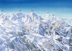
Benasque-Cerler Region Ski Trail Map
Ski trail map of the Benasque-Cerler region in the Pyrenees. Shows lift systems and trails from...
5007 miles away
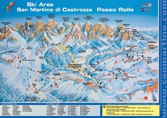
San Martino di Cartozza Ski Trail Map
Ski trail map of San Martino di Cartozza, Italy
5010 miles away
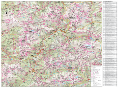
Val di Fassa Hiking Map
Hiking trail map of the Val di Fassa, Italy region. Highly detailed.
5023 miles away
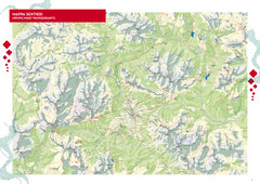
Cortina d'Ampezzo Hiking Map
Summer hiking map of the Cortina d'Ampezzo, Italy area in the heart of the Dolomite Mountains...
5026 miles away

Arabba Corvara Pedraces Summer Map
Summer map of Alta Badia region in Italian Dolomites
5028 miles away
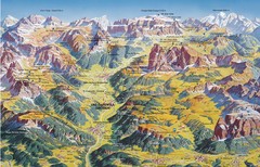
Val Gardena Summer Trail Map
Summer panoramic trail map of the Val Gardena, Italy area in the heart of the Dolomite Mountains...
5029 miles away
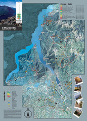
Lake Como Mountain Biking Trail Map
Trail map of mountain biking routes around Lake Como, Italy.
5033 miles away
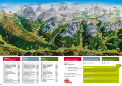
Alta Pusteria Summer Map
Panoramic summer hiking map of the Alta Pusteria, Italy, in the South Tyrol. Shows towns...
5034 miles away
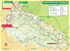
Transcarpathia Hiking Trail Map
Map of the Transcarpathia Hiking Trail (THT) in Ukraine. Trail runs through the territory of...
5036 miles away
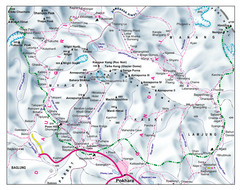
Gandaki Mountain Trail Map
Map of hiking trails for Gandaki Moutain range, Nepal.
5039 miles away
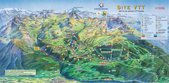
Courcheval Mountain Biking Map
Panoramic downhill mountain biking trail map of Courcheval, France in Vanoise National Park.
5046 miles away
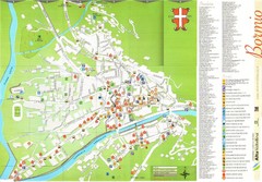
Bormio Tourist Map
Tourist map of town of Bormio, Italy. Legend of all streets and services.
5047 miles away
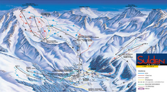
Sulden Ski Trail Map
Ski trail map of Sulden (Solda), Italy in the Ortler Alps. Shows trails and lifts.
5047 miles away
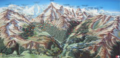
Sulden Trafoi Summer Hiking Map
Summer hiking route map of Sulden (Solda) Italy, Trafoi, Italy and Stelvio, Italy. Shows hiking...
5049 miles away
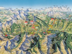
Saalbach Hinterglemm Summer Hiking Map
Summer panorama map of Saalbach and Hinterglemm Austria area. Shows trails, lifts, huts, and peaks.
5072 miles away

