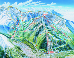
Taos Ski Valley Trail map
Official ski map of Taos Ski Valley. 12 lifts servicing 1,294 acres.
0 miles away
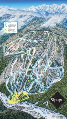
Sipapu Ski Trail Map
Official ski trail map of Sipapu ski area from the 2007-2008 season.
30 miles away
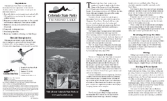
Trinidad State Park Map
Map of park with detail of recreation zones
62 miles away
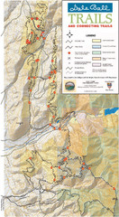
Dale Ball Trail Map
Map of the Dale Ball Trail system includes 22.2 miles of hiking and mountain biking trails that...
66 miles away
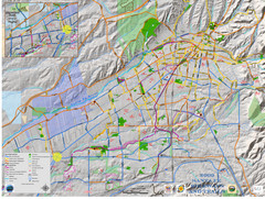
Santa Fe Bike and Trail Map
Trail and bikeway map of Santa Fe, New Mexico
67 miles away
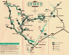
Jemez Mountains, New Mexico Tourist Map
70 miles away
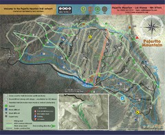
Pojarito Mountain bike Trail Map
Bike trail for Pojarito Mountain, New Mexico
71 miles away
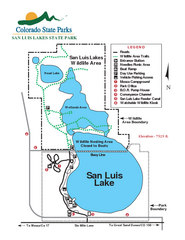
San Luis State Park Map
Map of park with detail of recreation zones
78 miles away
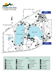
Lathrop State Park Map
Map of park with detail of recreation zones
79 miles away

Great Sand Dunes National Park and Preserve map
Official NPS map of Great Sand Dunes National Park and Preserve. Park includes the tallest dune in...
82 miles away
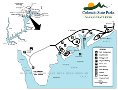
Navajo State Park Map
Map of park with detail of recreation zones
116 miles away
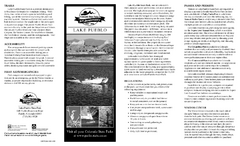
Lake Pueblo State Park Map
Map of park with detail of recreation zones
122 miles away
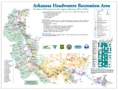
Arkansas Headwaters Recreation Area map
Detailed map for Arkansas Headwaters Recreation Area in Colorado
134 miles away
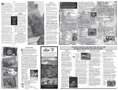
Arkansas Headwaters Recreation Area Map
Map of recreation area with detail of various recreation zones and lakes
139 miles away
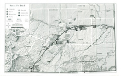
Santa Fe Trail Visitor Map
Map of the Santa Fe Trail showing all hiking trails, camping and picnic areas, roads, and monuments...
139 miles away
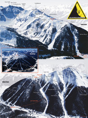
Silverton Ski Trail Map
Ski trail map of Silverton Mountain in Silverton, Colorado. Lift-serviced backcountry conditions...
150 miles away
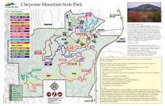
Cheyenne Mountain State Park Map
Trail map of park
152 miles away
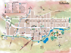
Telluride Town Map
160 miles away
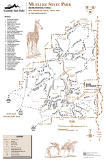
Mueller State Park Trail Map
Map of park with detail of hiking trails
161 miles away
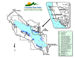
Eleven Mile State Park Map
Map of park with detail of campground zones
163 miles away
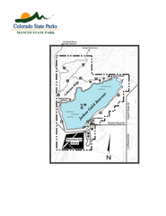
Mancos State Park Map
Map of park with detail of recreation zones
166 miles away
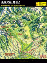
Gunnison Proposed Trails Map
Shows proposed trails from Gunnison, Colorado to Crested Butte, Colorado
168 miles away
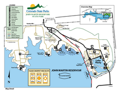
John Martin State Park Map
Map of park with detail of recreation zones
169 miles away
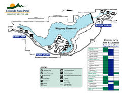
Ridgway State Park Map
Map of park with detail of recreation zones
169 miles away
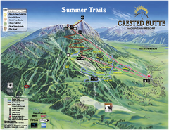
Crested Butte Mountain Resort Summer Trail Map
Official Crested Butte Mountain Resort summer trail map. Created by James Niehues.
180 miles away
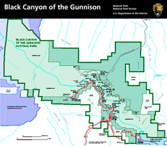
Black Canyon of the Gunnison National Park Map
Official NPS map of Black Canyon of the Gunnison in Colorado. Shows all areas including the South...
182 miles away
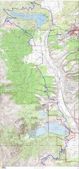
Leadville 100 Mountain Bike Race Map 2008
Race course for the 2008 Leadville 100 mountain bike race. Covers 100 miles.
190 miles away
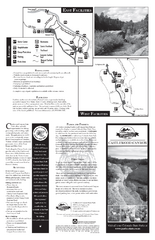
Castlewood Canyon State Park Map
Map of park with detail of trails and recreation zones
195 miles away
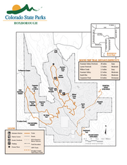
Roxborough State Park Map
Map of park with detail of recreation zones
199 miles away
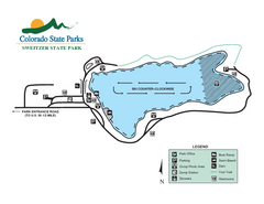
Sweitzer Lake State Park Map
Map of park with detail of recreation zones
205 miles away
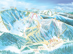
Arapahoe Basin Ski Trail Map 2007
Ski trail map of Arapahoe Basin ski area
212 miles away
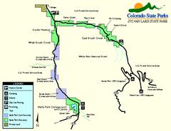
Sylvan Lake State Park Map
Map of park with detail of recreation zones and campgrounds
212 miles away
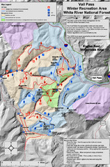
Vail Pass Area Recreation map
Recreation map of the area south of Vail Pass, Colorado. Shows trails and management areas.
212 miles away
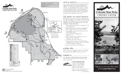
Cherry Creek State Park Map
Map of park with detail of recreation ares
214 miles away
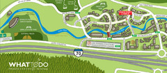
Vail Village Map
217 miles away
Vega State Park Map
Map of park with detail of recreation zones and campgrounds
223 miles away
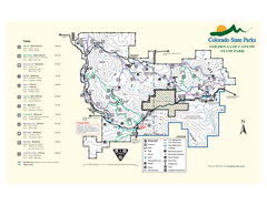
Golden Gate Canyon State Park Map
Map of park with detail of trails
226 miles away
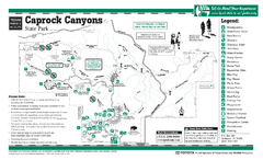
Caprock Canyon, Texas State Park Facility and...
229 miles away
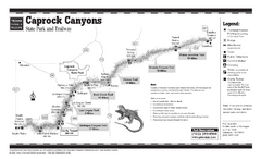
Caprock Canyon, Texas State Park Trail Map
229 miles away
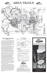
Eldorado Canyon State Park Map
Map of park with detail of trails and recreation zones
232 miles away

