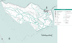
Motorcycle County Park Map
Map of Motorcycle County Park in Santa Clara County near San Jose, California. Shows all park...
0 miles away
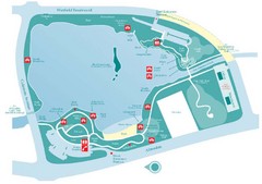
Almaden Lake Park Map
8 miles away
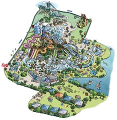
Raging Waters San Jose Map
Simple map of this fun water park for the whole family!
9 miles away
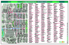
Dining in Downtown San Jose, California Map
Map of dining opportunities in downtown San Jose, California. Shows locations and telephone numbers...
11 miles away
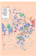
Downtown San Jose, California Map
Tourist map of downtown San Jose, California. Museums, theaters, parks, and other points of...
11 miles away
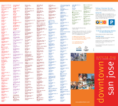
Walking Guide to Downtown San Jose, California Map
Tourist walking map of downtown San Jose, California. Lists and shows locations of dining, art...
12 miles away

Public Art in Downtown San Jose, California Map
Shows locations of public art in downtown San Jose, California, as well as public transportation...
12 miles away
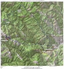
Henry Willard Coe State Park Topographical Map
Topographical map of Henry Willard Coe State Park. Includes roads, elevation information and some...
17 miles away
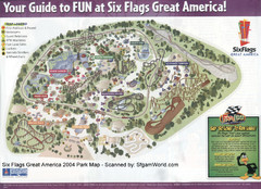
Six Flags Great America Map
17 miles away
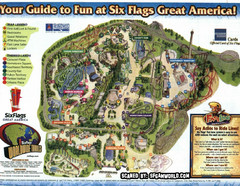
Six Flags Great America Map
18 miles away
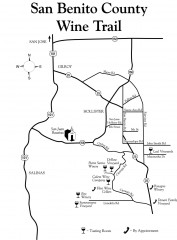
San Benito County Wine Trail Map
Wineries in the San Benito County, California area.
24 miles away
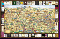
Livermore Winery Tour Map
Livermore Valley Wine Map & Visitors Guide - A great source for information about the Livermore...
31 miles away
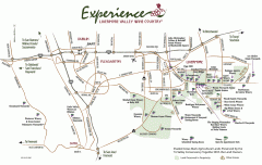
Livermore Valley Wineries, California Map
Map of wineries in Livermore Valley, California. Shows wineries, olive groves, and preserved land.
31 miles away
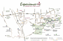
Livermore Valley Wine Map
Map showing the wineries in the Livermore Valley of California.
32 miles away
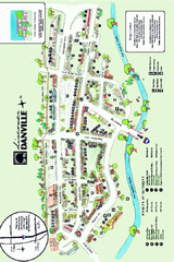
Walking Map of Downtown Danville, California
Tourist walking map of downtown Danville, California. Shows restaurants, shops, visitor's...
43 miles away
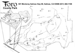
Toro County Park Map
Trails of Toro County Park, Salinas Ca.
44 miles away
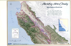
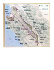
Monterey Wine Country: Appellation Overview Map
The Monterey region is world-famous for unparalleled scenic beauty, golf, and cuisine. Millions of...
45 miles away
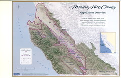
Monterey Wine Country: Appellation Overview Map
The Monterey region is world-famous for unparalleled scenic beauty, golf, and cuisine. Millions of...
45 miles away
Monterey Wine Country: Appellation Overview Map
The Monterey region is world-famous for unparalleled scenic beauty, golf, and cuisine. Millions of...
45 miles away
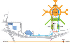
San Francisco International Airport Map
45 miles away
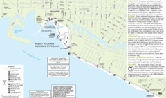
Crown Memorial State Beach Map
48 miles away
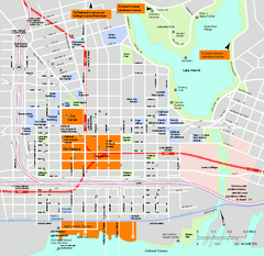
Downtown Oakland, California Map
Tourist map of downtown Oakland, California. Shows museums, parks, neighborhoods of interest and...
49 miles away
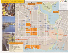
Oakland Tourist Map
Tourist map of downtown Oakland, California. Shows shopping districts.
49 miles away
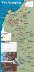
Monterey area wineries map
Map of wineries with public tasting rooms in the Monterey area
52 miles away
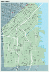
SoMa, Potrero Hill tourist map
Tourist map of SoMa and Potrero Hill in San Francisco
52 miles away
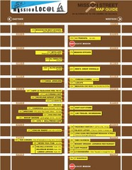
San Francisco Mission Restaurant Map
53 miles away
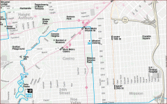
Castro, Mission, Haight-Ashbury, Noe Valley map
Tourist map of Castro, Mission, Haight-Ashbury, Noe Valley, and Twin Peaks in San Francisco
53 miles away
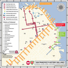
San Francisco Historic Rail Map
Map of San Francisco historic rail lines
53 miles away
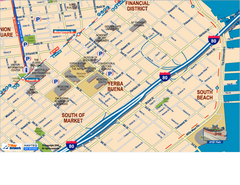
Downtown San Francisco: South of Market, Yerba...
Tourist map of South of Market (SOMA), Yerba Buena Center, and South Beach areas in downtown San...
53 miles away
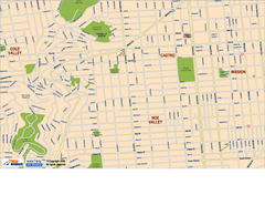
Downtown San Francisco: Castro and Noe Valley Map
Tourist map of the Castro and Noe Valley area in downtown San Francisco, California. Shows Twin...
53 miles away
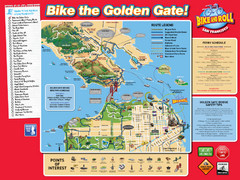
San Francisco Bike Map
53 miles away
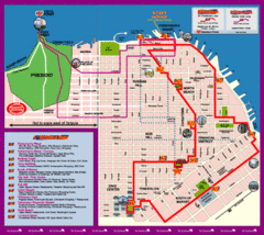
Double Decker Tour Bus Map
53 miles away
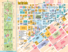
Union Square Tourist Map
Tourist map of Union Square district in San Francisco, California. Shows all venues and points of...
53 miles away
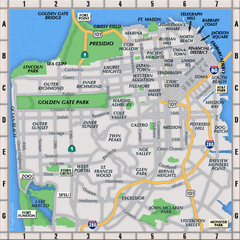
San Francisco Neighborhoods Map
54 miles away
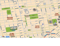
Hayes Valley, Fillmore, Western Addition, Alamo...
Tourist map of Hayes Valley, Fillmore, Western Addition, and Alamo Square in San Francisco.
54 miles away
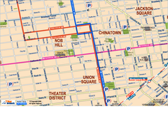
Downtown San Francisco: Union Square, Chinatown...
Tourist map of Union Square, Chinatown and Nob Hill in Downtown San Francisco, California. Public...
54 miles away
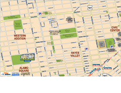
Downtown San Francisco: Hayes Valley, Western...
Tourist map of Hayes Valley, Western Addition, and Civic Center area of downtown San Francisco...
54 miles away
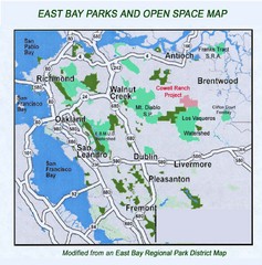
Eastbay Parks and Open Spaces Map
54 miles away
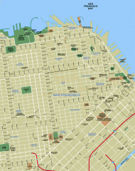
Downtown San Francisco tourist map
Tourist map of Downtown San Francisco spanning several neighborhoods, showing points of interest.
54 miles away
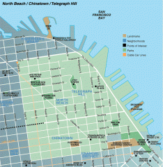
North Beach, Chinatown, Telegraph Hill map
Tourist map of North Beach, Chinatown, and Telegraph Hill in San Francisco
54 miles away

