
Southern Golden Gate National Recreation Map
0 miles away
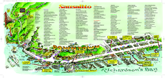
Sausalito Tourist Map
Visitor map of Sausalito, California. Shows restaurants, shopping, and other points of interest
11 miles away
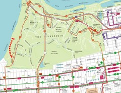
Baker Beach, San Francisco Tourist Map
14 miles away
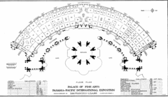
San Francisco Palace of the Fine Arts Map
14 miles away
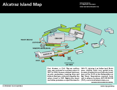
Alcatraz Island Map
Official NPS map of Alcatraz Island National Park in the San Francisco Bay, California
15 miles away
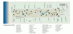
Golden Gate Park tour map
Map of Golden Gate Park in San Francisco in California. Shows all points of interest, picnic areas...
15 miles away
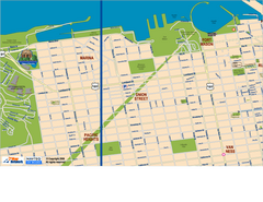
Downtown San Francisco: Fort Mason, the Marina...
Tourist map of Fort Mason, the Marina, and Pacific Heights area in downtown San Francisco...
15 miles away
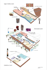
de Young Museum Map
Floorplan of the de Young Museum of Art in Golden Gate Park, San Francisco, California
15 miles away
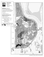
San Francisco Botanical Garden Map
Overview map of the San Francisco Botanical Garden in Golden Gate Park, San Francisco
15 miles away

Conservatory of Flowers Museum Map
Map of the Conservatory of Flowers in Golden Gate Park, San Francisco, California
15 miles away
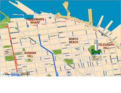
Downtown San Francisco: Fisherman's Wharf...
Tourist map of Fisherman's Wharf, North Beach, and Telegraph Hill area in downtown San...
16 miles away
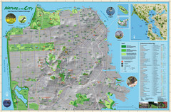
San Francisco Natural Heritage Map
Shows San Francisco's natural habitats and biodiversity is filled with fun facts, restoration...
16 miles away
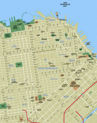
Downtown San Francisco tourist map
Tourist map of Downtown San Francisco spanning several neighborhoods, showing points of interest.
16 miles away
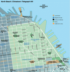
North Beach, Chinatown, Telegraph Hill map
Tourist map of North Beach, Chinatown, and Telegraph Hill in San Francisco
16 miles away
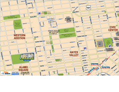
Downtown San Francisco: Hayes Valley, Western...
Tourist map of Hayes Valley, Western Addition, and Civic Center area of downtown San Francisco...
16 miles away
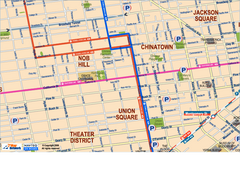
Downtown San Francisco: Union Square, Chinatown...
Tourist map of Union Square, Chinatown and Nob Hill in Downtown San Francisco, California. Public...
17 miles away
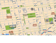
Hayes Valley, Fillmore, Western Addition, Alamo...
Tourist map of Hayes Valley, Fillmore, Western Addition, and Alamo Square in San Francisco.
17 miles away
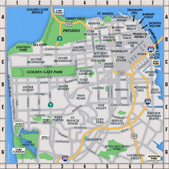
San Francisco Neighborhoods Map
17 miles away
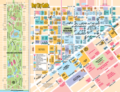
Union Square Tourist Map
Tourist map of Union Square district in San Francisco, California. Shows all venues and points of...
17 miles away
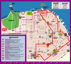
Double Decker Tour Bus Map
17 miles away
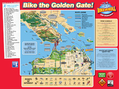
San Francisco Bike Map
17 miles away
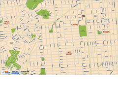
Downtown San Francisco: Castro and Noe Valley Map
Tourist map of the Castro and Noe Valley area in downtown San Francisco, California. Shows Twin...
17 miles away
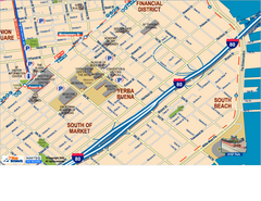
Downtown San Francisco: South of Market, Yerba...
Tourist map of South of Market (SOMA), Yerba Buena Center, and South Beach areas in downtown San...
17 miles away
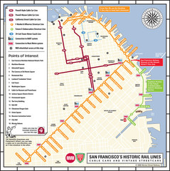
San Francisco Historic Rail Map
Map of San Francisco historic rail lines
17 miles away
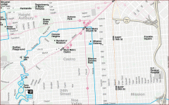
Castro, Mission, Haight-Ashbury, Noe Valley map
Tourist map of Castro, Mission, Haight-Ashbury, Noe Valley, and Twin Peaks in San Francisco
17 miles away
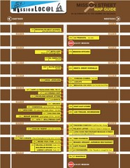
San Francisco Mission Restaurant Map
18 miles away
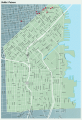
SoMa, Potrero Hill tourist map
Tourist map of SoMa and Potrero Hill in San Francisco
18 miles away
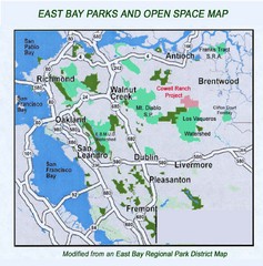
Eastbay Parks and Open Spaces Map
22 miles away
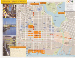
Oakland Tourist Map
Tourist map of downtown Oakland, California. Shows shopping districts.
22 miles away
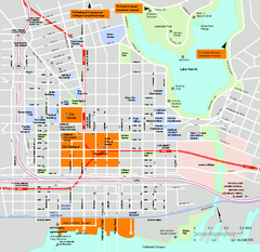
Downtown Oakland, California Map
Tourist map of downtown Oakland, California. Shows museums, parks, neighborhoods of interest and...
23 miles away
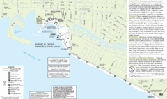
Crown Memorial State Beach Map
23 miles away
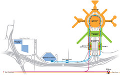
San Francisco International Airport Map
27 miles away
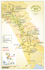
Sonoma Valley Winery Map
High quality map of Sonoma Valley wineries from the vinters and growers. Shows all key roads and...
27 miles away
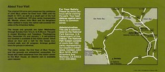
John Muir National Histroric Site Map
28 miles away
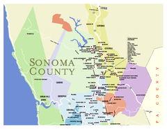
Wineries in Sonoma County, California Map
Map of winery locations in Sonoma County, California. Shows wineries, tasting rooms, and valleys of...
30 miles away
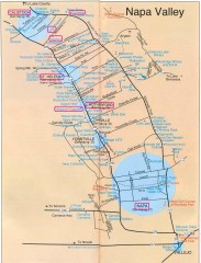
Napa Valley Tourist map
Tourist map of Napa Valley in California, showing wineries and museums in the area.
30 miles away
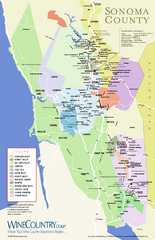
Sonoma Country Wine Map
Wine map of Sonoma, California area. Shows all vineyards.
32 miles away
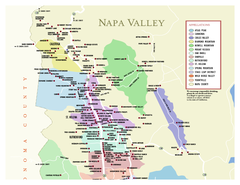
Napa County Wineries, California Map
Map of wineries in Napa County, California. Shows wineries and appellations.
34 miles away
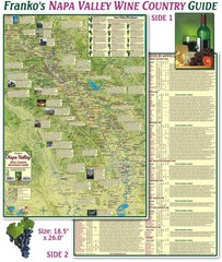
Napa Valley Wine Country Guide Map
Map of the Napa Valley Wine Country. With over 250 local Wineries listed. Printed on waterproof...
36 miles away
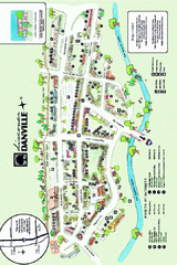
Walking Map of Downtown Danville, California
Tourist walking map of downtown Danville, California. Shows restaurants, shops, visitor's...
37 miles away

