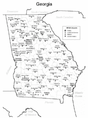
Georgia Tourist Map
0 miles away
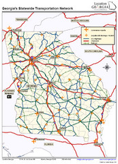
Georgia Transportation Map
0 miles away
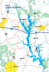
Lake Oconee Map
92 miles away
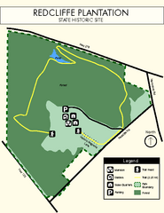
Redcliffe Plantation State Park Map
Clear map of this wonderful state park with a beautiful natural setting.
106 miles away
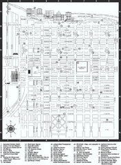
Savannah Historic District map
Map of Savannah, Georgia's historic district. Shows popular places
107 miles away
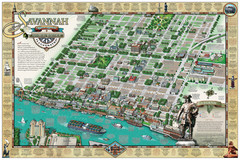
Savannah Historic District Illustrated Map
This Americana-style illustrated map depicts the Savannah Historic District from a birds-eye-view...
107 miles away
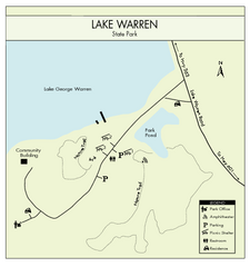
Lake Warren State Park Map
Clearly marked state park map.
111 miles away
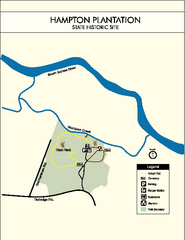
Hampton Plantation State Park Map
Clear and easy to read map.
112 miles away
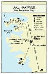
Lake Hartwell State Park Map
Clear state park map.
112 miles away
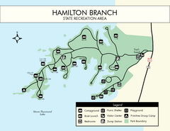
Hamilton Branch State Park Map
Simple state park map.
118 miles away
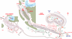
Suwanee Park Camping Map
122 miles away
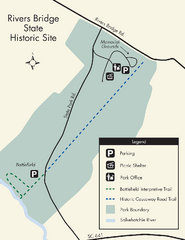
Rivers Bridge State Park Map
Nice and clear map of this history state park.
122 miles away
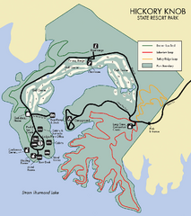
Hickory Knob State Park Map
Detailed map of this beautiful state park.
123 miles away
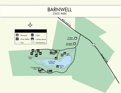
Barnwell State Park Map
Simple map of this state park.
124 miles away
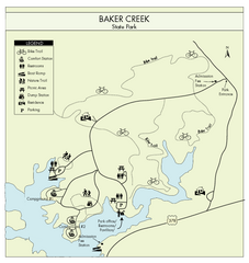
Baker Creek State Park Map
Beautiful park with wonderful views and plenty of wild life.
124 miles away
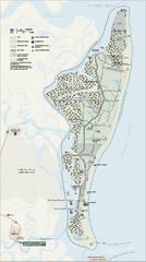
Cumberland Island National Seashore Map
Official NPS map of Cumberland Island National Seashore, Cumberland Island, Georgia. Rated #4...
125 miles away
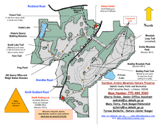
Davidson-Arabia Mountain Nature Preserve Map
Davidson-Arabia Mountain Nature Preserve is comprised of 570 acres of granite outcrop, wetlands...
126 miles away
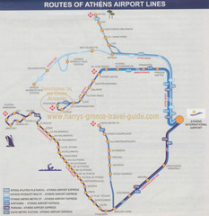
Athens Airport Lines Map
126 miles away
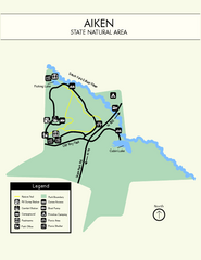
Aiken State Park Map
Small and simple state park map.
127 miles away
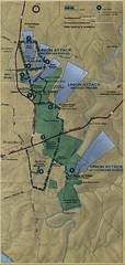
Antietam National Battelfield Map
130 miles away
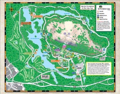
Stone Mountain State Park Map
135 miles away
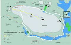
Stone Mountain Park Trail map
Trail map of Stone Mountain Park near Atlanta, GA
135 miles away
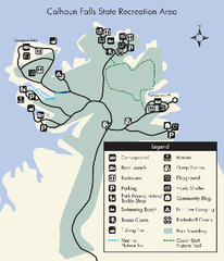
Calhoun Falls State Park Map
Clear map and detailed legend help make this map easy to read and follow.
135 miles away
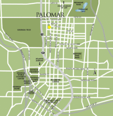
Atlanta Tourist Map
140 miles away
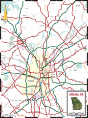
Atlanta, GA Tourist Map
140 miles away
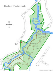
Herbert Taylor Park Map
141 miles away
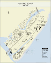
Hunting Island State Park Map
Shows facilities of Hunting Island State Park, South Carolina. Rated the #8 beach in America by...
144 miles away
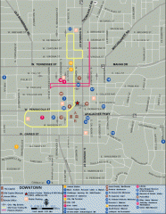
Downtown Tallahassee, Florida Map
Tourist map of downtown Tallahassee, Florida. Museums, government buildings and other points of...
144 miles away
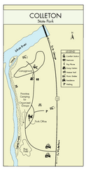
Colleton State Park Map
Detailed map and map legend of this beautiful state park.
148 miles away
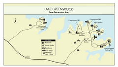
Lake Greenwood State Park Map
Clearly marked state park map on a beautiful waterfront.
151 miles away
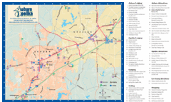
Auburn and Opelika City Map
Map of Auburn and Opelika, Alabama with tourist information.
151 miles away
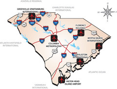
South Carolinas Airports Map
154 miles away
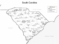
South Carolina Airports Map
154 miles away
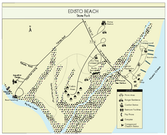
Edisto Beach State Park Map
Clearly labeled map of this beautiful state park.
154 miles away
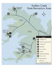
Sadlers Creek State Park Map
This simple map gives you an easy to follow layout of this amazing state park.
157 miles away
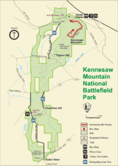
Kennesaw Moutain National Battlefield Park Map
158 miles away
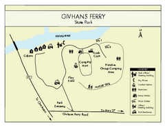
Givhans Ferry State Park Map
Map marked with shelter, phone, restrooms, picnic and more.
159 miles away
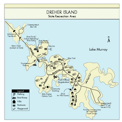
Dreher Island State Park Map
Clearly labeled state park map.
159 miles away
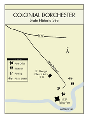
Colonial Dorchester State Park Map
Office, parking, picnic sites and more are all clearly marked on this state park site.
169 miles away
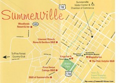
Summerville, South Carolina Tourist Map
169 miles away

