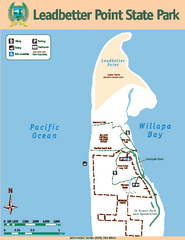
Leadbetter Point State Park Map
Map of park with detail of recreation zones and trails
0 miles away
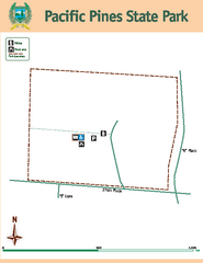
Pacific Pines State Park Map
Map of park with detail of trails and recreation zones
7 miles away
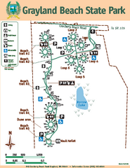
Grayland Beach State Park Map
Map of park with detail of trails and recreation zones
13 miles away
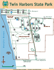
Twin Harbors State Park Map
Map of park with detail of trails and recreation zones
17 miles away
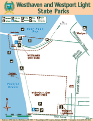
Westhaven/Westport Light State Parks Map
Map of park with detail of trails and recreation zones
20 miles away
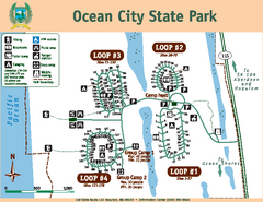
Ocean City State Park Map
Map of park with detail of trails and recreation zones
30 miles away
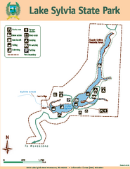
Lake Sylvia State Park Map
Map of island with detail of trails and recreation zones
35 miles away
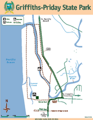
Griffiths-Priday State Park Map
Griffiths-Priday State Park
36 miles away
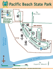
Pacific Beach State Park Map
Map of park with detail of trails and recreation zones
42 miles away
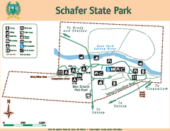
Schafer State Park Map
Map of park with detail of trails and recreation zones
44 miles away
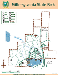
Millersylvania State Park Map
Map of park with detail of trails and recreation zones
58 miles away
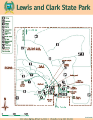
Lewis and Clark State Park Map
Map of park with detail of recreation zones and trails
59 miles away
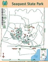
Seaquest State Park Map
Map of park with detail of trails and recreation zones
62 miles away
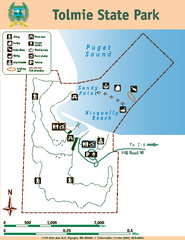
Tolmie State Park Map
Map of park with detail of trails and recreation zones
70 miles away
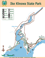
Ike Kinswa State Park Map
Map of park with detail of trails and recreation zones
72 miles away
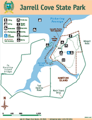
Jarrell Cove State Park Map
Map of park with detail of trails and recreation zones
72 miles away
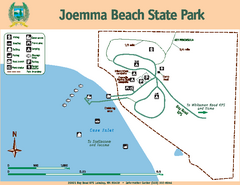
Joemma Beach State Park Map
Map of park with detail of trails and recreation zones
73 miles away
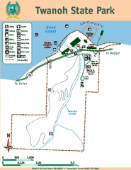
Twanoh State Park Map
Map of park with detail of trails and recreation zones
73 miles away
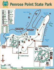
Penrose Point State Park Map
Map of park with detail of trails and recreation zones
76 miles away
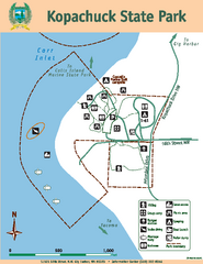
Kopachuck State Park Map
Map of island with detail of trails and recreation zones
81 miles away
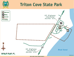
Triton Cove State Park Map
Map of park with detail of trails and recreation zones
85 miles away
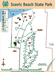
Scenic Beach State Park Map
Map of park with detail of trails and recreation zones
92 miles away
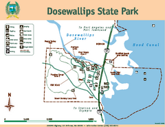
Dosewallips State Park Map
Map of park with detail of trails and recreation zones
92 miles away
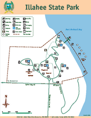
Illahee State Park Map
Map of park with detail of trails and recreation zones
97 miles away
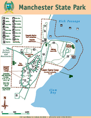
Manchester State Park Map
Map of park with detail of trails and recreation zones
97 miles away
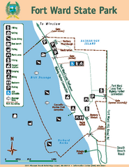
Fort Ward State Park Map
Map of park with detail of trails and recreation zones
99 miles away
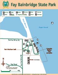
Fay Bainbridge State Park Map
Map of park with detail of trails and recreation zones
105 miles away
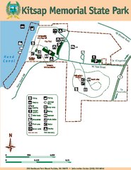
Kitsap Memorial State Park Map
Map of island with detail of trails and recreation zones
106 miles away
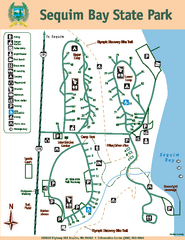
Sequim Bay State Park Map
Map of park with detail of trails and recreation zones
109 miles away
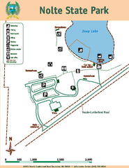
Nolte State Park Map
Map of park with detail of trails and recreation zones
110 miles away
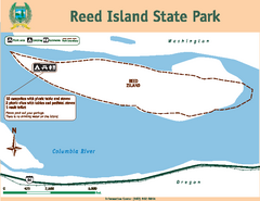
Reed Island State Park Map
Map of park with detail of trails and recreation zones
111 miles away
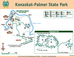
Kanaskat-Palmer State Park Map
Map of park with detail of trails and recreation zones
113 miles away
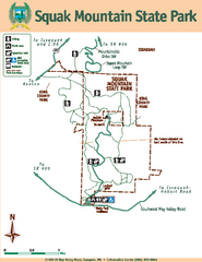
Squak Mountain State Park Map
Map of park with detail of trails and recreation zones
113 miles away
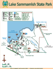
Lake Sammamish State Park Map
Map of island with detail of trails and recreation zones
114 miles away
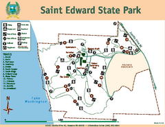
Saint Edward State Park Map
Map of park with detail of trails and recreation zones
115 miles away
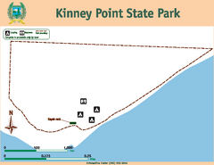
Kinney Point State Park Map
Map of island with detail of trails and recreation zones
119 miles away
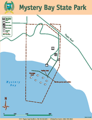
Mystery Bay State Park Map
Map of park with detail of trails and recreation zones
119 miles away
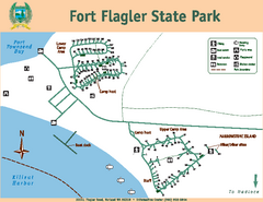
Fort Flagler State Park Map
Map of park with detail of trails and recreation zones
121 miles away
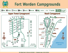
Fort Worden Campgrounds Map
Map of park campgrounds
122 miles away
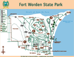
Fort Worden State Park Map
Map of park with detail of trails and recreation zones
122 miles away

