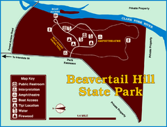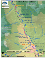
Arkansas River Numbers and Narrows Rafting Map
Rafting map of the Numbers and Narrows rapids sections of the Arkansas River near Buena Vista...
0 miles away
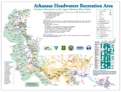
Arkansas Headwaters Recreation Area map
Detailed map for Arkansas Headwaters Recreation Area in Colorado
35 miles away
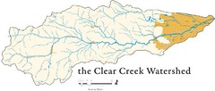
Clear Creek Watershed Map
37 miles away
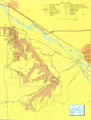
Colorado National Monument Map
Map of Colorado National Monument and surrounding areas.
136 miles away
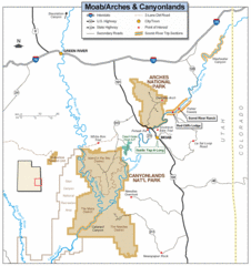
Canyonlands National Park Map
Clear map and key marking cities, rivers, highways and points of interest.
205 miles away
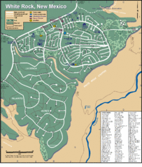
White Rock Road Map
Large and detailed map marking points of interest and roads.
225 miles away
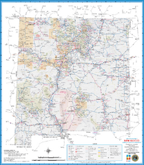
New Mexico Road Map
Detailed road map of state of New Mexico
302 miles away
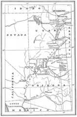
1914 Grand Canyon & Colorado River Map
Historic map of the Colorado River, from Wyoming to Mexico
336 miles away
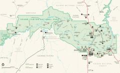
Grand Canyon National Park map
Official map of Grand Canyon National Park. Currently not available on the NPS website
388 miles away
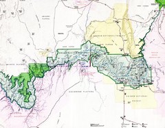
Grand Canyon Map
Guide to the Grand Canyon National Park
428 miles away
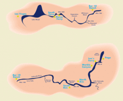
Grand Canyon River Rafting Map
Guide to the Colorado River, Grand Canyon river rafting
435 miles away
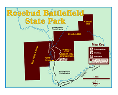
Rosebud Battlefield State Park Map
This National Historic Landmark on the rolling prairie of eastern Montana preserves the site of the...
441 miles away
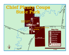
Chief Plenty Coups State Park Map
Simple and clear map of State Park.
468 miles away
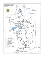
Ashton/Island Park Recreation Sites Map
479 miles away

Cooney State Park Map
Simple and clear State Park Map.
480 miles away
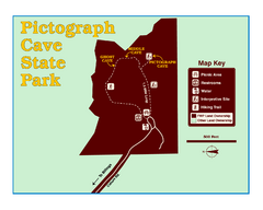
Pictograph Cave State Park Map
The 2,730-square-foot building, on the northwestern side of the existing parking lot, is designed...
487 miles away
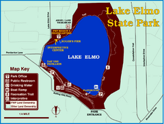
Lake Elmo State Park Map
This urban day-use park attracts visitors to swim, sailboard, and fish. A display in the Fish...
495 miles away
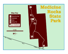
Medicine Rocks State Park Map
As the name implies, Medicine Rocks was a place of "big medicine" where Indian hunting...
502 miles away
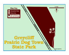
Greycliff Prairie Dog Town State Park Map
Grab your camera and hop off Interstate 90 at Greycliff to delight in the playful, curious black...
509 miles away
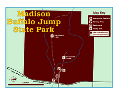
Madison Buffalo Jump State Park Map
You’ll find this day-use-only park seven graveled miles off Interstate 90 at the Logan exit...
549 miles away
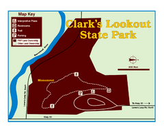
Clark's Lookatout State Park Map
Clearly marked State Park Map.
549 miles away
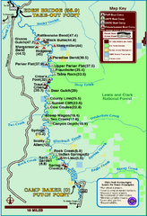
Smith River State Park Map
The Smith River is a unique 59-mile river corridor. Permits are required to float the stretch of...
551 miles away
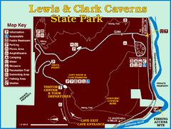
Lewis and Clark Caverns State Park Map
Montana's first and best-known state park showcases one of the most highly decorated limestone...
562 miles away
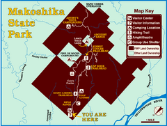
Makoshika State Park Map
To the Sioux Indians, Ma-ko-shi-ka meant bad earth or bad land. Today, as Montana’s largest...
570 miles away
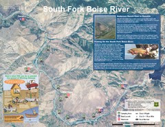
South Fork Boise River Map
Map of the South Fork of the Boise River from Anderson Ranch Dam to Neal Bridge. Premier wild...
577 miles away
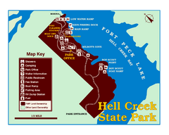
Hell Creek State Park Map
You’ll reach this campground park, 25 miles north of Jordan, through the spectacular scenery...
604 miles away
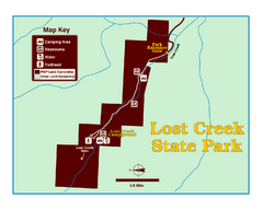
Lost Creek State Park Map
These spectacular gray limestone cliffs and pink and white granite formations rise 1,200 feet above...
614 miles away
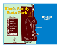
Black Sandy State Park Map
Simple but clear map of State Park.
615 miles away
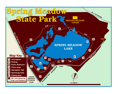
Spring Meadow Lake State Park Map
This urban, day-use-only park minutes from Helena fed by natural springs, is a popular spot for...
621 miles away
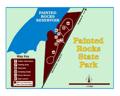
Painted Rocks State Park Map
Located in the scenic Bitterroot Mountains, this 23-acre park offers boating and water sport...
627 miles away
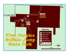
First People's Buffalo Jump State Park Map
A visitor center and interpretive trails tell the story of this prehistoric bison kill site, one of...
638 miles away
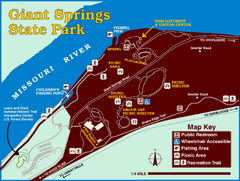
Giant Springs State Park Map
Set aside a whole afternoon to experience this scenic and historic freshwater springs site. First...
649 miles away
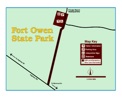
Fort Owen State Park Map
Fort Owen’s adobe and log remains preserves the site of the first permanent white settlement...
663 miles away
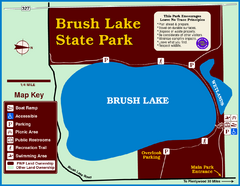
Brush Lake State Park Map
Simple and easily read map.
680 miles away
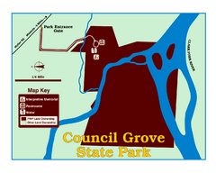
Council Grove State Park Map
Clearly marked map.
686 miles away
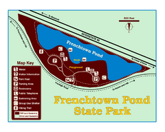
Frenchtown Pond State Park Map
Plan to bring everyone in the family to this day-use-only park for a whole afternoon of picnicking...
695 miles away
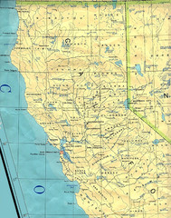
Northern California Map
Map of Northern California including cities, counties, and rivers
715 miles away
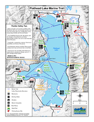
West Shore State Park Map
Glacially carved rock outcrops rise from Flathead Lake to overlooks with spectacular views of the...
727 miles away
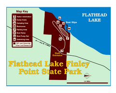
Finley Point State Park Map
This park is located in a secluded, mature pine forest near the south end of Flathead Lake. Enjoy...
731 miles away

