French Southern Territories Map
Physical map of French Southern and Antarctic Lands.
0 miles away
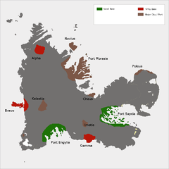
Kerguelen Island land use Map
18 miles away
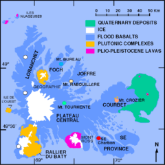
Kerguelen Island soil Map
20 miles away
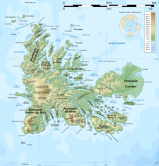
Kerguelen Island topo Map
23 miles away
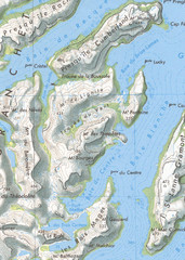
Kerguelen Island detail Map
28 miles away
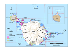
Heard Island and McDonald Islands Map
Map of Heard Island and McDonald Islands with place names, contours and the location of glaciers...
316 miles away
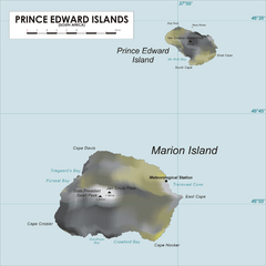
Prince Edward Island Map
Map of islands of South Africa
1474 miles away
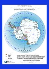
Antarctica Overview Map
Overview map of Antarctica shows geological features and US and UK research stations
1980 miles away
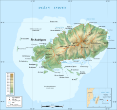
Rodrigues Island Topo Map
Island topographic map of Rodrigues Island. In French.
2069 miles away

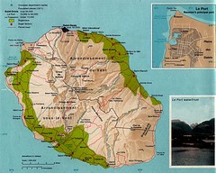
Reunion National Parks Map
2088 miles away
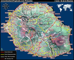
Reunion Tourist Map
2092 miles away
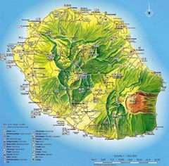
Reunion Island Map
Guide to Reunion, an overseas department of France, off the coast of Madagascar
2093 miles away
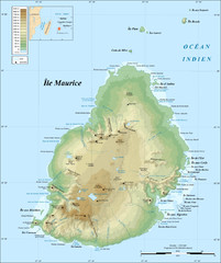
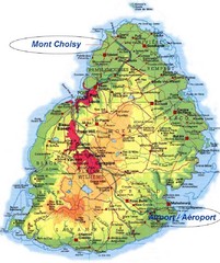
Mauritius topography Map
2107 miles away

Mauritius Map
2108 miles away
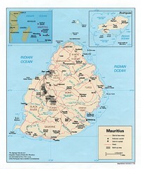
Mauritius Island Map
2109 miles away
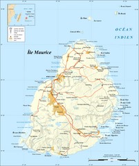
Mauritius Island Map
Map of French island of Mauritius
2114 miles away
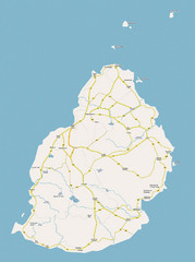
Mauritius Island Map
2114 miles away
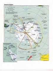
Antarctic Region Political Map 1997
Map centered on South Pole shows all country claims in Antarctica. Also shows year-round research...
2355 miles away
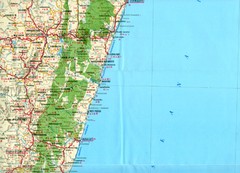
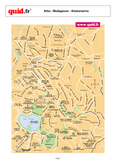
Antananarivo region Map
2378 miles away
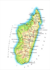
Madagascar Map
Guide to the African country of Madagascar
2412 miles away
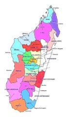
Madagascar regions Map
2424 miles away
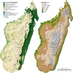
Madagascar land cover and elevation Map
2437 miles away
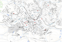
Grahamstown Map
Street map of Grahamstown
2453 miles away
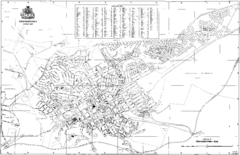
Grahamstown Street Map
Street map of Grahamstown, South Africa. Home of Rhodes University.
2454 miles away
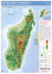
Madagascar Elevation Map
Shows color-coded elevation of island of Madagascar. Shows tropical cyclone Gamede track as of Feb...
2457 miles away

Jeffreys Bay Map
Street map of Jeffreys Bay
2493 miles away
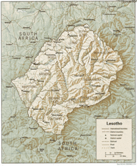
Lesotho Map
Guide to the African country of Lesotho
2536 miles away
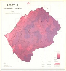
Lesotho Erosion Hazard Map
Guide to erosion in Lesotho
2540 miles away
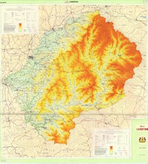
Lesotho Physical Map
Physical map of Lesotho. Shaded by elevation.
2550 miles away
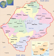
Lesotho Map
Cities, roads, provinces and borders are labeled on this map.
2550 miles away
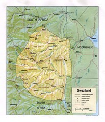
Swaziland Political Map
Guide to the African country of Swaziland
2550 miles away
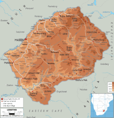
Lesotho physical Map
2555 miles away
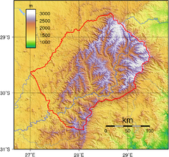
Lesotho topo Map
2556 miles away
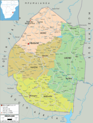
Swaziland political Map
2556 miles away
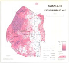
Swazilad soil erosion Map
2559 miles away
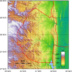
Swaziland topography Map
2559 miles away

